3D Laser Scan Terrain Point Cloud
Get the full picture of a difficult site, without going back for more data.
What is a 3D Laser Scan Terrain Point Cloud Survey?
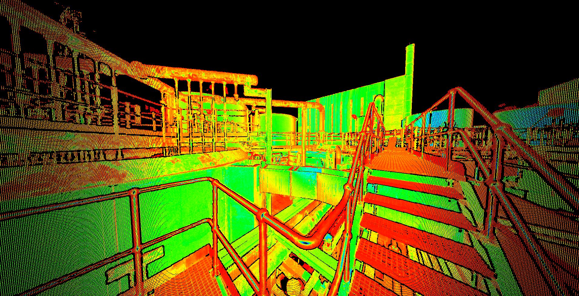
A 3D laser scan terrain point cloud survey uses static terrestrial laser scanners to capture millions of geo-referenced points across the land surface and surrounding structures.
Instead of relying only on selected spot levels, it creates a very dense digital record of terrain, retaining walls, embankments, facades, bridges, structures and awkward site geometry that can be measured again back in the office.
This method is especially useful when a conventional topo would leave too much interpolation between measured points, or when the site is complex enough that designers need more than a standard base plan.
It is often the right choice for steep sites, quarries, brownfield land, infrastructure interfaces, deep cuttings, complex level changes and sites where adjacent buildings or structures also need to be captured accurately.
The real value is not just density. It is controlled density. The scans are tied back to survey control so the point cloud works as part of a proper engineering dataset, not just a visual model.
From that, we can extract contours, breaklines, surfaces, sections and CAD information that suits architects, civil engineers and digital design teams.
Applications
- Complex terrain and irregular level changes
- Embankments, cuttings, quarries and large earth structures
- Brownfield and infrastructure sites with dense surrounding detail
- Facade, structure and terrain capture in one dataset
- Existing-condition verification before design freeze
- Heritage or urban projects where context matters as much as ground levels
Benefits
- Captures millions of points with very high spatial density
- Reduces the risk of missed detail and repeat visits
- Allows remote measurement of hard-to-reach areas
- Improves confidence in sections, levels and surface modelling
- Supports BIM, Civil 3D, Revit and point-cloud workflows
- Provides a permanent digital record for future interrogation
Deliverables
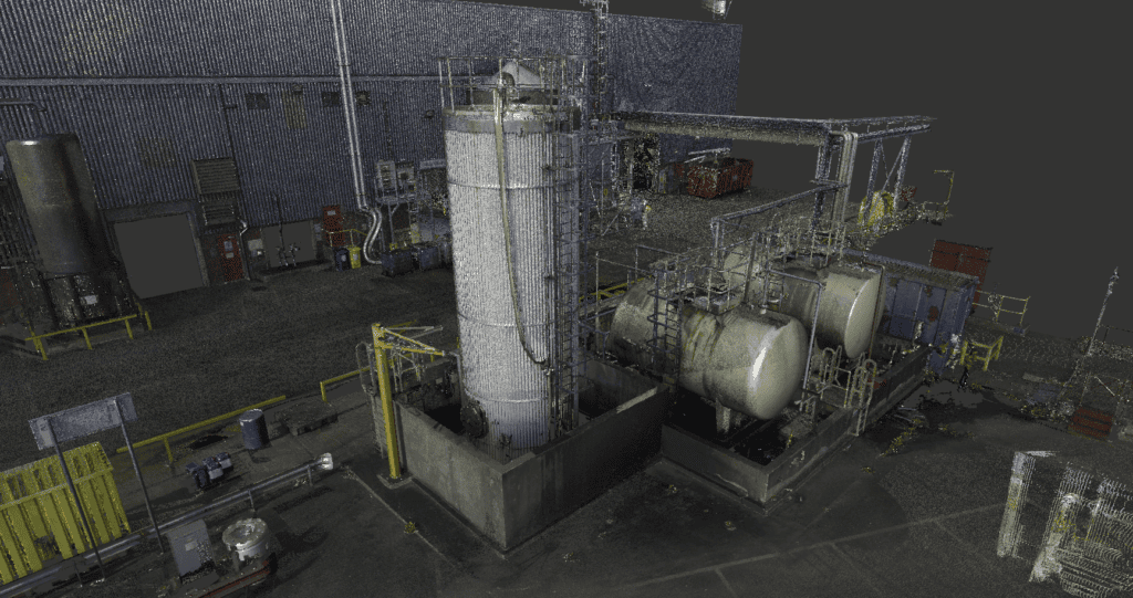
- Registered point cloud in E57, LAS, LGS or client-required format
- Extracted topographical drawing in DWG and PDF
- Terrain surface / TIN and contour data
- Sections, elevations or verification snapshots where required
- Scan control, registration and QA information
- Optional cleaned model area or clipped data packages by zone
Why Choose Powers?
We use laser scanning and point cloud workflows in live construction environments, and we know when scanning is the right answer and when it should be combined with total station, GNSS or UAV data to keep the survey practical, accurate and cost-efficient.
Our Services
Topographic Land Surveys
Measured Building Surveys
Underground Utility Detection Surveys
Site Engineering
Boundary Surveys
Geospatial Consulting & Support
Topographic Surveys in Action
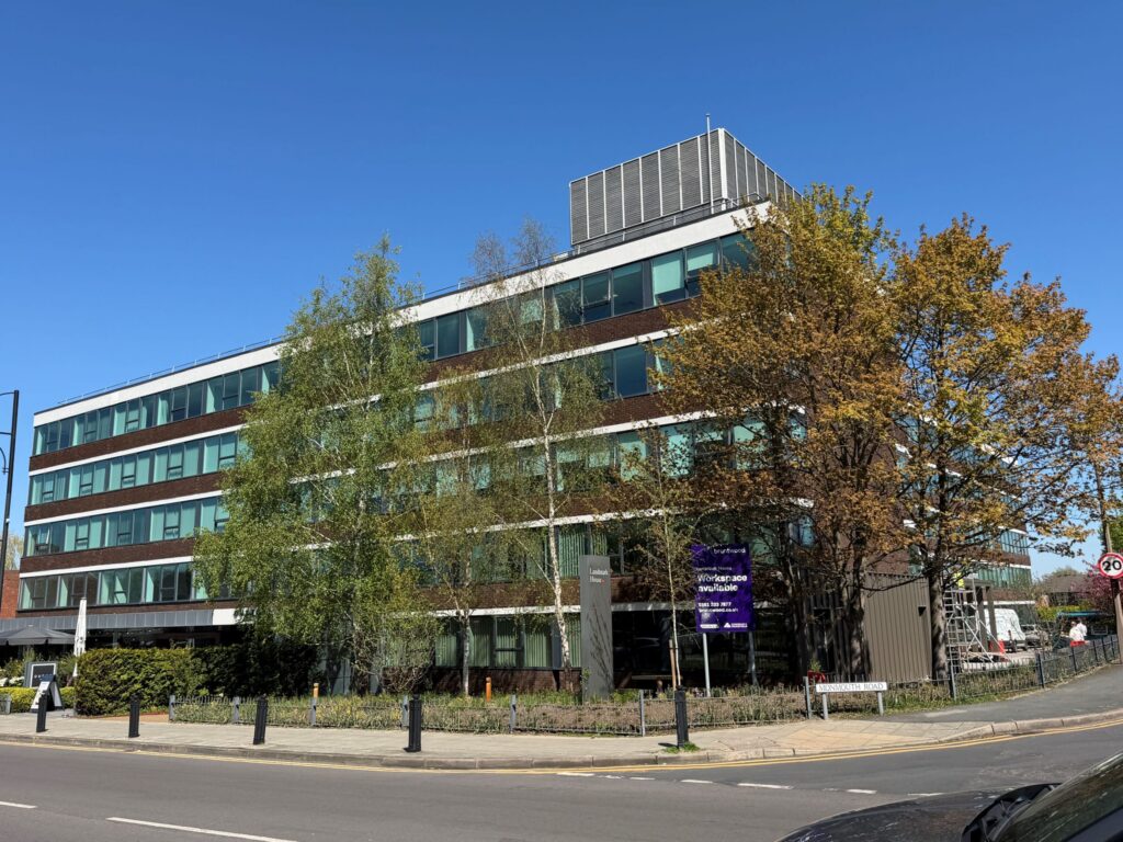
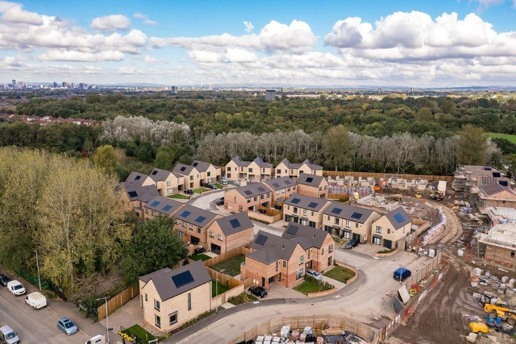
From complex heritage assets to live commercial buildings, our topographic surveys support confident decisions across a wide range of projects. Explore how Powers’ data has helped clients move from uncertainty to clarity.

50 Years of Trusted Partnerships












Start Your Project With Certainty
Need a quote or some more information?
Call 01928 734 473 or send us a message via the form.
By submitting this form, I consent to receive emails from Powers as defined in the Privacy Policy.