topographic surveys
The measured starting point for every construction and development project.
What Is a Topographical Survey?
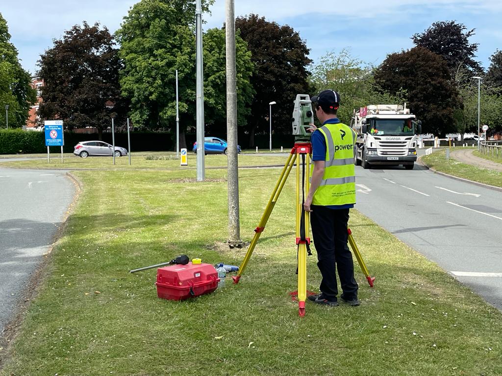
A topographical survey is the measured starting point for every serious construction or development job. It records the shape of the land, spot levels, contours, buildings, boundaries, kerbs, hardstanding, trees, visible services features, water features and other above-ground detail so architects, engineers, estimators and planners are all working from the same factual base.
In practice, the best topographical surveys start with control. We establish robust site control first, then choose the right mix of GNSS, total stations, laser scanning, mobile mapping or UAV capture to suit the site, the required accuracy and the project budget. That matters because the fastest survey is not always the cheapest if it leaves gaps, misses critical detail or causes a return visit later.
When Should You Commission One?
You would usually commission a topographical survey at feasibility, planning, concept design, tender and pre-construction stages, and again if the ground has changed after demolition, remediation, enabling works or earthworks.
To scope the survey accurately, it helps to share the red line boundary, the project stage, what is being designed, any areas needing extra detail, the coordinate requirements, and the outputs your team actually needs.
Applications Across Construction Projects
- Planning, feasibility and land promotion
- Architecture, masterplanning and concept design
- Drainage, highways and external works design
- Earthworks, cut/fill and level strategy
- Tender pricing, take-offs and cost planning
- Update surveys after demolition or enabling works
- Coordination with PAS 128 utility surveys and measured building surveys
Typical Deliverables and File Formats
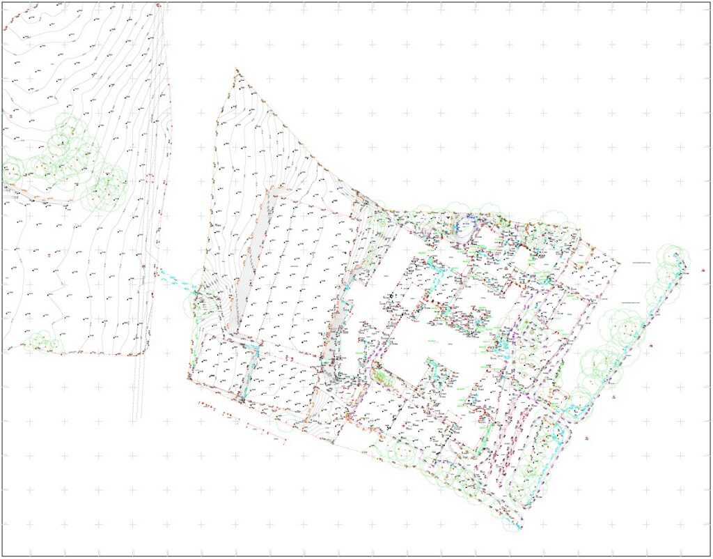
- 2D and 3D topographical survey drawings in DWG and PDF
- Spot levels, contours, breaklines and feature coding
- Survey control tied to project coordinate system or National Grid / ODN as required
- Layered CAD base plan ready for design teams
- Optional point cloud, orthomosaic, DTM or 3D surface outputs
- Optional update survey and as-built comparison data
Why Choose Powers?
We do not force one method onto every site. We scope the survey around the decisions you need to make, tie the data into reliable control, deliver in the file formats your consultants use, and back it with over 50 years in surveying, UK-wide construction experience, UKAS-accredited ISO 9001, ISO 14001 and ISO 45001 systems, and a sustainable apprenticeship pipeline that keeps technical standards moving forward.
Our Services
Topographic Land Surveys
Measured Building Surveys
Underground Utility Detection Surveys
Site Engineering
Boundary Surveys
Geospatial Consulting & Support
Why Topographic Surveys from Powers?
Clear, accurate building data is the foundation of confident decisions. Our approach ensures your survey works for your project – not the other way around.
Reliable Control as Standard
Every survey is tied to robust site control, giving your architects, engineers and planners a single verified base to work from.
Consultancy-First Scoping
We help you define the right level of detail for your project stage – avoiding over-specification and wasted cost.
The Right Method for Every Site
We select from GNSS, total stations, laser scanning, mobile mapping and UAV capture to match your site, your required accuracy and your budget – not the other way around.
Outputs Everyone Can Use
From CAD and BIM teams to planners and stakeholders, our deliverables are clear, readable, and easy to integrate.
50 Years of Proven Practice
UKAS-accredited ISO 9001, ISO 14001 and ISO 45001 systems, backed by UK-wide construction experience and an apprenticeship pipeline that keeps our technical standards moving forward.
Topographic Surveys in Action
From complex heritage assets to live commercial buildings, our topographic surveys support confident decisions across a wide range of projects. Explore how Powers’ data has helped clients move from uncertainty to clarity.


Supporting Surveys for Complete Site Understanding
Topographic surveys often form part of a wider survey strategy. Depending on your project, you may also need:
50 Years of Trusted Partnerships












Start Your Project With Certainty
Need a quote or some more information?
Call 01928 734 473 or send us a message via the form.
By submitting this form, I consent to receive emails from Powers as defined in the Privacy Policy.