UAV / Drone Surveys
Large sites, fast coverage, without putting anyone on difficult ground.
What are UAV / Done Surveys?
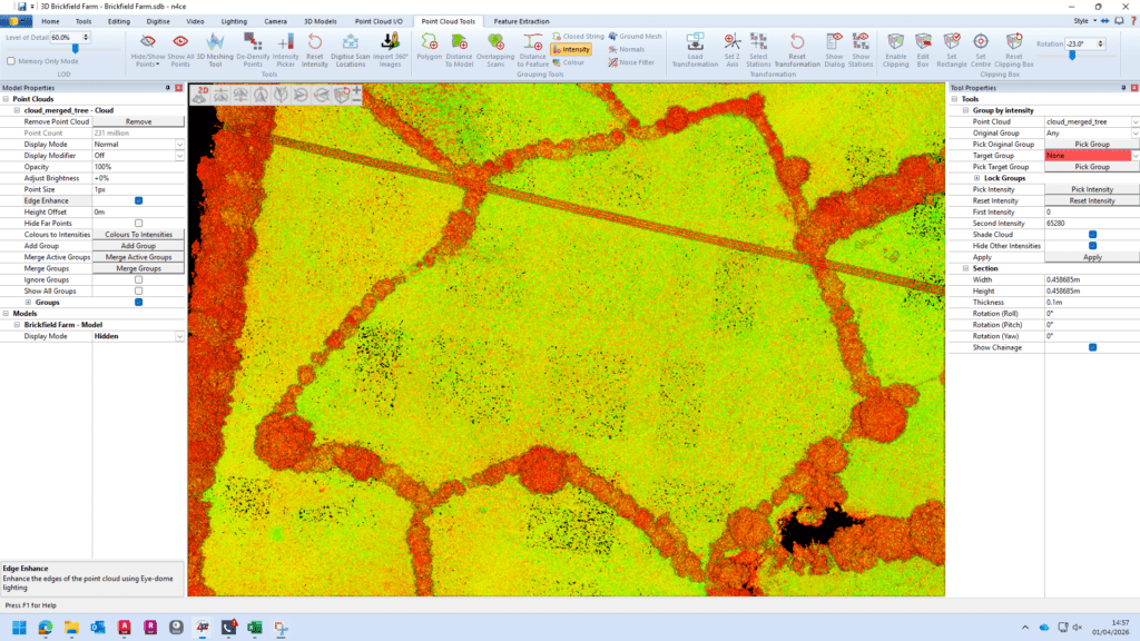
A UAV or drone survey captures aerial imagery and geospatial data over a site, then processes it into outputs such as orthomosaics, contours, point clouds, textured 3D models and digital terrain models.
For large sites, hazardous ground or areas that are awkward to access on foot, it is one of the quickest ways to understand what is there.
This is commonly used for feasibility studies, land promotion, masterplanning, stockpiles, earthworks monitoring, quarries, infrastructure corridors and broad development parcels.
It is also very useful where clients want both a technical dataset and a clear visual overview for reporting, stakeholder communication or phased progress monitoring.
The important point is that drone data is not a magic replacement for every other survey method.
If the design depends on precise service cover levels, hidden breaks in level, under-canopy detail, boundary evidence or dense local control, we will tell you that and combine the drone survey with ground survey.
That is usually how you get the best result: aerial coverage for speed, ground control and check shots for reliability.
Applications
- Large development and regeneration sites
- Feasibility studies and land promotion
- Earthworks, stockpile and progress monitoring
- Hazardous, contaminated or difficult-to-access ground
- Broad context mapping for planners and design teams
- Environmental and landscape studies
- Combined aerial and ground control surveys for better coverage
Benefits
- Covers large areas very quickly
- Reduces time spent on difficult or unsafe ground
- Produces useful visual outputs for client teams and stakeholders
- Supports volumetrics, terrain analysis and progress comparison
- Cost-effective for wide or open sites
- Helps identify where targeted ground survey is still needed
Deliverables
- Orthomosaic mapping
- Digital terrain model (DTM) and / or digital surface model (DSM)
- Point cloud or textured 3D model
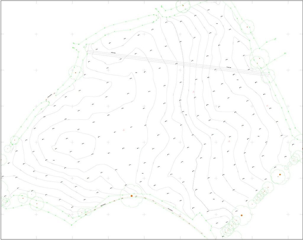
- Contours and CAD-ready mapping outputs
- Volumetric calculations where required
- Ground control schedule and accuracy notes
Why Choose Powers?
We do not oversell drones. We use them when they add real value, manage the data properly, and integrate the outputs with topo, DTM and engineering workflows so the dataset can move straight into design.
Our Services
Topographic Land Surveys
Measured Building Surveys
Underground Utility Detection Surveys
Site Engineering
Boundary Surveys
Geospatial Consulting & Support
Topographic Surveys in Action
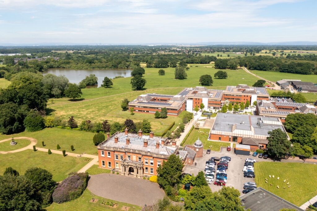
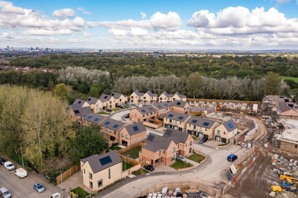
From complex heritage assets to live commercial buildings, our topographic surveys support confident decisions across a wide range of projects. Explore how Powers’ data has helped clients move from uncertainty to clarity.

50 Years of Trusted Partnerships












Start Your Project With Certainty
Need a quote or some more information?
Call 01928 734 473 or send us a message via the form.
By submitting this form, I consent to receive emails from Powers as defined in the Privacy Policy.