Accurate Measured Viewpoints
Protect your planning application from the viewpoint question before it's asked.
What are Accurate Measured Viewpoints?
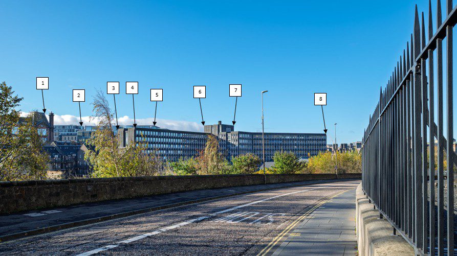
Accurate measured viewpoints are survey-controlled camera positions and reference datasets used to create dependable planning visuals.
In simple terms, they make sure a proposed building, bridge or structure is shown from the correct place, height and orientation rather than from an approximate photo that might later be challenged.
They are typically applied on planning submissions, visual impact studies, townscape assessments, skyline studies, heritage-sensitive developments and schemes where height, massing or visibility could influence consent.
Architects, visualisers and planning consultants use them when they need the visuals to be technically defensible as well as persuasive.
The survey work normally includes establishing control, fixing the camera position, recording coordinate and level data, and providing enough reference information for verified modelling.
That helps the wider consultant team line up imagery, model geometry and planning graphics correctly. It also reduces the risk of last-minute rework because the viewpoint data was not locked down properly at the start.
Applications
- Planning applications for prominent or sensitive sites
- Townscape, visual impact and skyline studies
- Heritage and conservation context assessments
- Verified visualisations for architects and CGI teams
- Massing checks during pre-planning design development
- Repeat viewpoints for option testing and revisions
Benefits
- Gives planning visuals a defensible measured basis
- Reduces risk of challenge to camera position or level
- Improves coordination between surveyors, architects and visualisers
- Helps design teams test visibility and massing more reliably
- Saves time by fixing viewpoint data correctly first time
- Supports clearer communication with planners and stakeholders
Deliverables
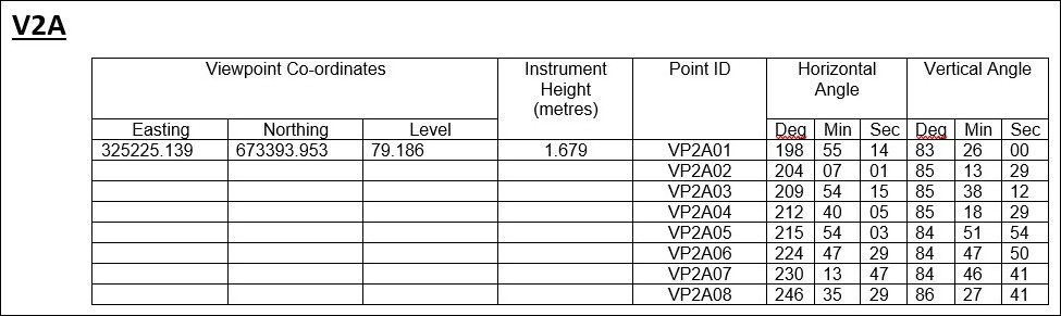
- Viewpoint coordinate and level schedule
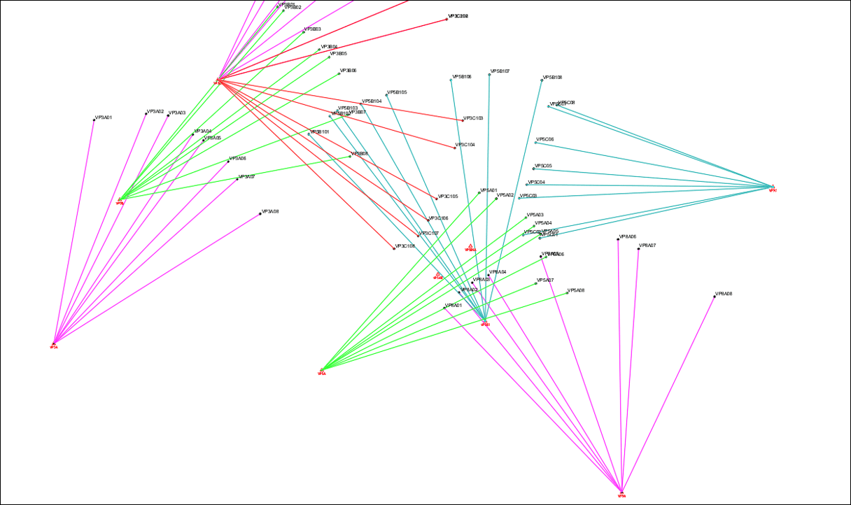
- Camera location plan and control information
- Surveyed reference data for verified views / AVRs
- Marked photography and orientation notes
- CAD or 3D reference geometry where required
- Optional revisit / reoccupation data for revised proposals
Why Choose Powers?
We understand both the surveying and the planning side of this task. That means we produce viewpoint data that visualisers can work with and that planners can scrutinise with confidence, without turning the process into a black box.
Our Services
Topographic Land Surveys
Measured Building Surveys
Underground Utility Detection Surveys
Site Engineering
Boundary Surveys
Geospatial Consulting & Support
Topographic Surveys in Action
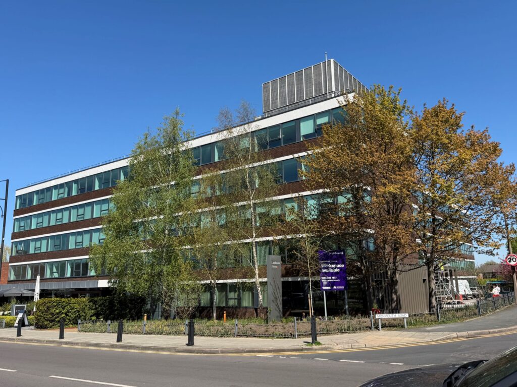
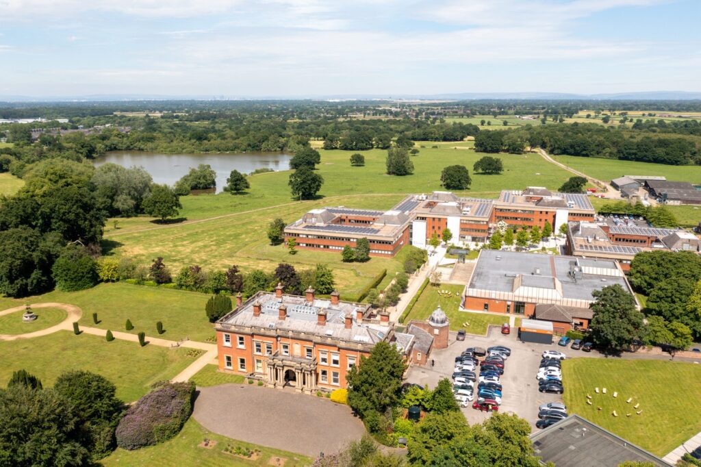
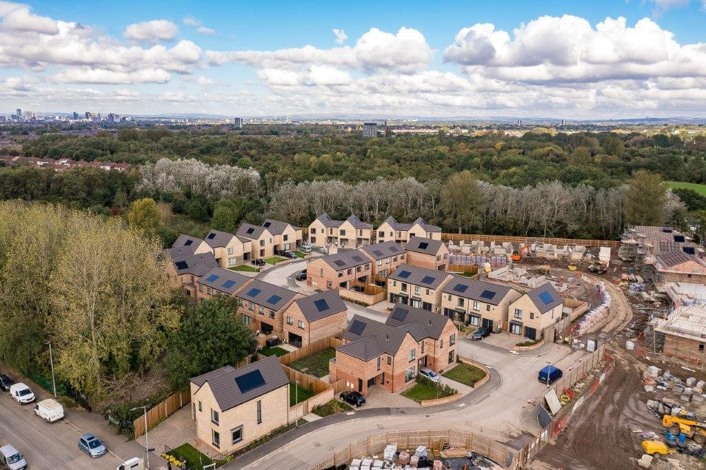
From complex heritage assets to live commercial buildings, our topographic surveys support confident decisions across a wide range of projects. Explore how Powers’ data has helped clients move from uncertainty to clarity.
50 Years of Trusted Partnerships












Start Your Project With Certainty
Need a quote or some more information?
Call 01928 734 473 or send us a message via the form.
By submitting this form, I consent to receive emails from Powers as defined in the Privacy Policy.