3D Ground Modelling and Volumetrics
Turning level survey data into the cut, fill and quantity intelligence your estimators and project managers can act on.
What is 3D Ground Modelling and Volumetrics?
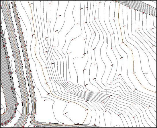
3D ground modelling turns level survey data into a digital terrain model that shows the true shape of a site. Volumetrics then compares one measured surface with another, or against a design surface, to calculate how much material must be cut, filled, imported, exported or left in place. For estimators and project managers, this is where survey data becomes directly useful for pricing, programming and managing earthworks.
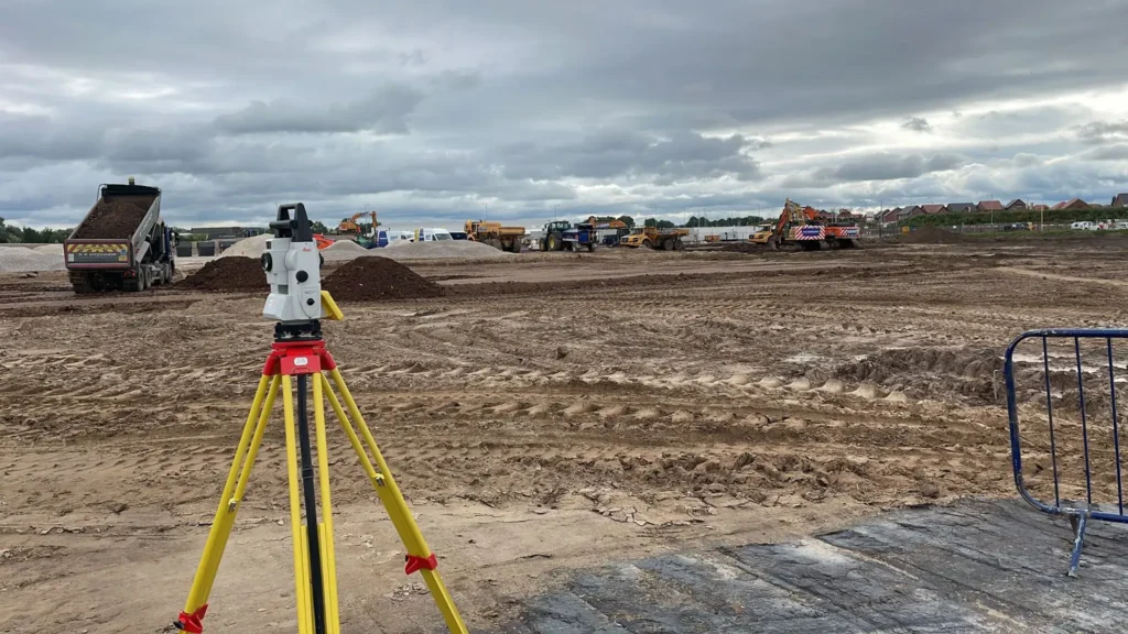
On construction projects, the process often starts with an original ground level survey before the site is broken. That original surface becomes the baseline for earthworks planning and later progress checks. As the site changes, repeat surveys can be compared back to the baseline or the design model to quantify progress and support commercial decisions with measured data rather than assumptions.
Applications
- Original ground level surveys and design comparisons
- Cut/fill balance studies for platforms, roads and drainage corridors
- Stockpile and material quantity calculations
- Landfill, excavation or imported fill verification
- Landscape regeneration, attenuation ponds and reprofiled sites
- Progress measurement for QS, contractor and client reporting
Benefits
- Gives estimators and PMs a firmer handle on material quantities
- Reduces risk of over-ordering, double handling and haulage waste
- Helps balance cut and fill to keep costs under control
- Produces objective evidence for valuations, claims or quantity disputes
- Makes earthworks progress easier to explain to non-surveyors

Deliverables
- Digital terrain model / triangulated surface
- Contours, sections and 3D visual outputs
- Cut/fill tables and volume computation reports
- Isopach or heat-map style comparison drawings
- Comparison models between original, current and design surfaces
- CAD-ready and machine-control-ready source data where required
Why Choose Powers?
We combine measured site data, modelling and practical construction know-how. The team is used to supporting quantity surveyors and delivery teams with clear volume outputs, not just raw survey files.
On complex projects we have cross-checked earthworks quantities during the live programme so the whole team is working from the same numbers.
Our Services
Topographic Land Surveys
Measured Building Surveys
Underground Utility Detection Surveys
Site Engineering
Boundary Surveys
Geospatial Consulting & Support
Site Engineering Surveys in Action
Our site engineering surveys support confident decisions across a wide range of projects. Explore how Powers’ data has helped clients move from uncertainty to clarity.
50 Years of Trusted Partnerships












Start Your Project With Certainty
Need a quote or some more information?
Call 01928 734 473 or send us a message via the form.
By submitting this form, I consent to receive emails from Powers as defined in the Privacy Policy.