3D Revit Models
Skip the point cloud interpretation. Get a design-ready Revit model built from measured reality.
What is a 3D Revit Model?
Many clients need a Revit model of their building created directly from a 3D laser scan, with building features – walls, windows, doors, roof detail and more – that can be adapted and updated during the design stage.
Rather than spending time transferring data from a point cloud, we take that work on and deliver a Revit model ready for design and BIM workflows.
We accommodate the level of detail (LOD) needed for each model – typically LOD 200 through to LOD 400 – agreed and defined before pricing so there are no surprises.
An existing building’s physical and functional characteristics are captured digitally in a 3D Revit model. This includes spatial connections, geometrical information, building component attributes, and facilities management data where required.
Architects, engineers and construction firms can then design with considerably greater control over cost, scheduling and coordination.
Scan to BIM is the process of converting point cloud data into an intelligent BIM model. It is especially useful where a building has already been laser scanned and the next step is to produce a structured model for design, planning or asset use.
We can also provide a topographical survey as a 3D mesh model to be underlaid beneath the Revit model, giving design teams a fully integrated picture of both building and ground.
Applications
- Refurbishment and retrofit design
- Architectural coordination
- Clash review
- MEP integration
- Landlord and tenant alterations
- Digital asset records
- Prefabrication planning and stakeholder visualisation
Benefits
- Gives design teams a coordinated 3D base model
- Improves understanding of complex geometry
- Supports earlier issue detection
- Helps reduce design and construction risk on BIM-enabled projects
Deliverables
- 3D Revit model to the agreed level of detail and information
- Linked or referenced point cloud where required
- Model views, sheets and supporting 2D survey drawings depending on scope
Why Choose Powers?
We produce 3D Revit models from controlled survey data, not assumptions. That means your model is grounded in measured reality and set up for practical design use.
We understand both survey capture and downstream project requirements, so the output is technically robust, commercially useful and aligned with how architects, engineers and contractors actually work.
Our Services
Topographic Land Surveys
Measured Building Surveys
Underground Utility Detection Surveys
Site Engineering
Boundary Surveys
Geospatial Consulting & Support
Measured Building Surveys in Action
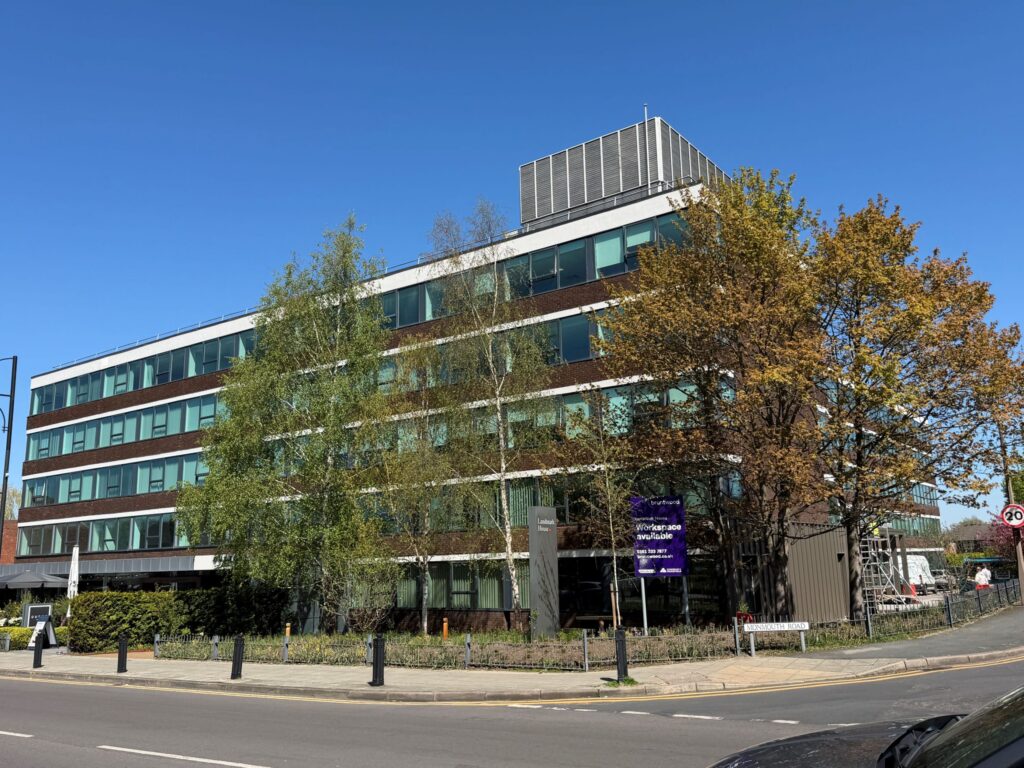
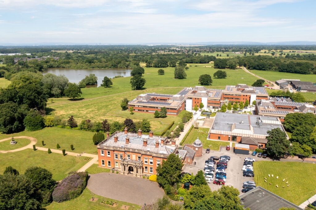
From complex heritage assets to live commercial buildings, our measured building surveys support confident decisions across a wide range of projects. Explore how Powers’ data has helped clients move from uncertainty to clarity.
50 Years of Trusted Partnerships












Start Your Project With Certainty
Need a quote or some more information?
Call 01928 734 473 or send us a message via the form.
By submitting this form, I consent to receive emails from Powers as defined in the Privacy Policy.