setting out for construction
Transferring the design from CAD to the ground with the precision every trade that follows depends on.
What is Setting Out for Construction?
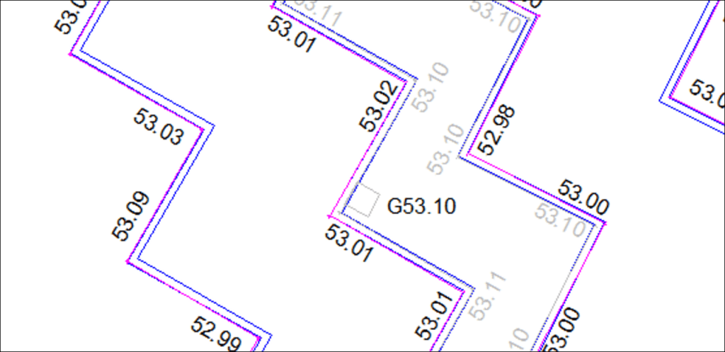
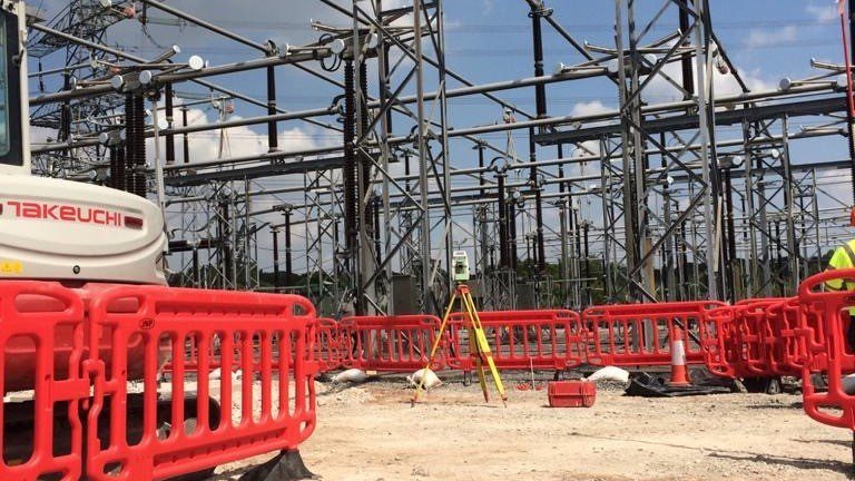
Setting out is the process of transferring the design from CAD or BIM into real-world positions on the ground or structure.
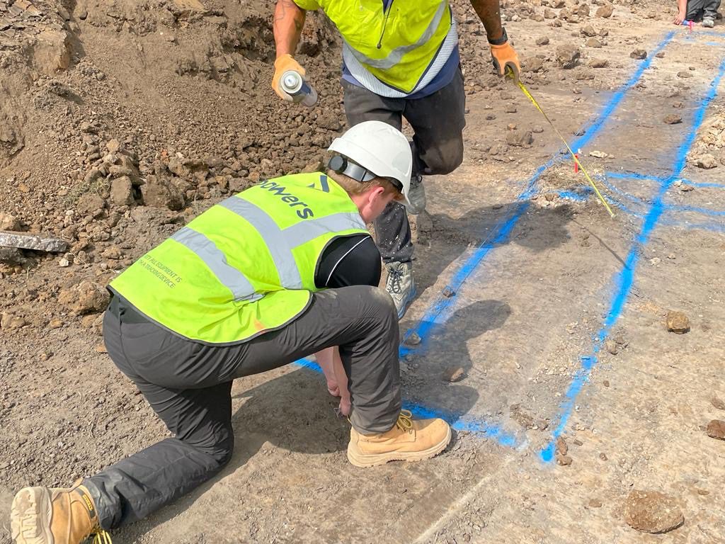
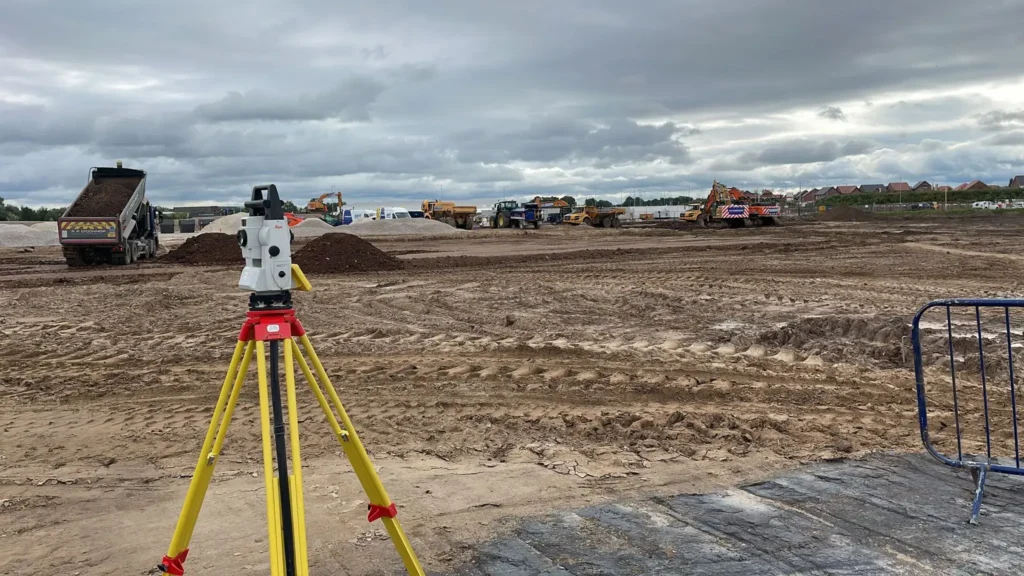
Using a control network, robotic total stations and GNSS where appropriate, a site engineer marks the exact points, lines and levels needed for the build – whether that is a building corner, a drainage run, a bolt location, a grid intersection or a finished formation level.
This is one of the most important construction survey tasks because every trade that follows is affected by it. If the setting out is wrong, the error usually multiplies through the job. That is why the correct approach is always to work from the latest approved drawing issue, check it against the original survey and upload calculated coordinates directly to the instrument rather than relying on hand calculations.
Our process
- All total stations are calibrated annually by a trained professional, with a certificate of calibration available before site visits.
- Architect and engineer drawings are checked and overlaid on the topographic survey to detect any discrepancies before we arrive on site.
- Setting out coordinates are calculated in CAD software and uploaded directly to our Leica total stations – no manual calculations, greatly reducing the risk of human error.
- Once work is completed on site, our surveyors verify that the building position aligns with the design, checking orientation, position from boundary and relationship to adjacent structures and roads.
- Individual peg checks are carried out by tape measure at random intervals to confirm size and shape. All measurements are recorded on the site plan.
- All site engineering work is recorded meticulously within our ISO 9001, ISO 45001 and ISO 14001 audited management systems, providing a robust audit trail for every project.
Applications
- Building corners, grid lines and wall positions
- Pile caps, holding down bolts and structural steel
- Drainage runs, manholes, kerb lines and road geometry
- Slabs, service penetrations and plant bases
- Retaining walls, stair cores and lift shafts
- Modular, logistics or fit-out datum transfer inside structures
Benefits
- Builds to design first time, with less snagging and rework
- Helps subcontractors start work with confidence
- Reduces risk of clashes between structure, drainage and services
- Creates a clear audit trail for quality checks
- Protects budget by avoiding expensive corrections later in the programme
Deliverables
- Set out points, offsets, lines and levels on site
- Coordinate schedules and marked-up setting out sketches
- Reference stations and witness marks for re-establishment
- Check measurements and deviation notes where required
- Optional as-set-out or phase verification records
Why Choose Powers?
Our site engineers use Leica robotic total stations and GPS/GNSS equipment, check drawings against the site survey and upload coordinates to instruments to reduce human error.
We can support anything from one-off visits to regular day-rate attendance – often a better-value option than a full-time site engineer when survey input is only needed at key stages.
Our Services
Topographic Land Surveys
Measured Building Surveys
Underground Utility Detection Surveys
Site Engineering
Boundary Surveys
Geospatial Consulting & Support
Site Engineering Surveys in Action
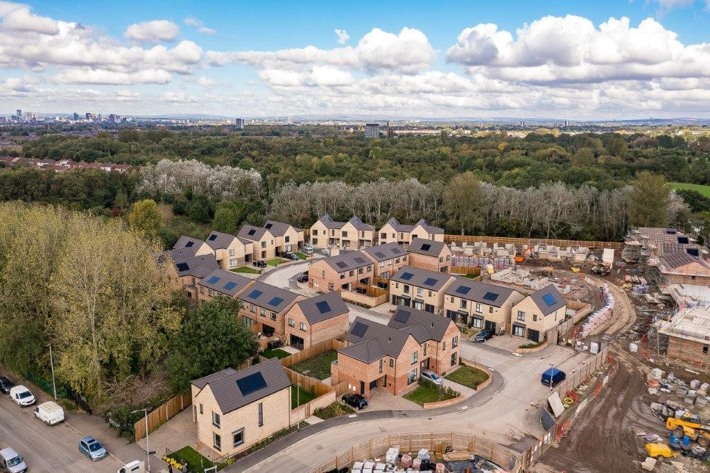
Our site engineering surveys support confident decisions across a wide range of projects. Explore how Powers’ data has helped clients move from uncertainty to clarity.
50 Years of Trusted Partnerships












Start Your Project With Certainty
Need a quote or some more information?
Call 01928 734 473 or send us a message via the form.
By submitting this form, I consent to receive emails from Powers as defined in the Privacy Policy.