
3D Laser Scanning
High-Tech Surveys. Human-Focused Clarity.
What Is 3D Laser Scanning?
3D laser scanning captures highly detailed, geo-referenced data to create an accurate digital representation of buildings, infrastructure, and landscapes.
At Powers, we use industry-leading technology and software to collect up to two million points per second. The result is a comprehensive raw point cloud dataset that records everything visible on site with millimetre accuracy.
Because the full environment is captured in detail, projects rarely require return visits – giving you confidence that the data you need is already there.
3D laser scanning is ideal for:
- As-built surveys of large or complex buildings
- Civil infrastructure capture
- Complex refurbishment
- Industrial plant mapping
- Clash detection
- Heritage and conservation recording
- Crime scene reconstruction
- BIM-ready 3D data integration
If accuracy, completeness, and speed matter, laser scanning provides a dependable foundation.
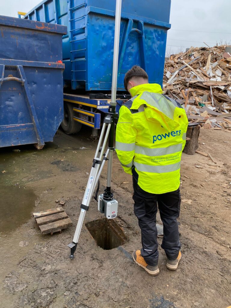
Applications of 3D Laser Scanning
Our scanners capture millions of geo-referenced points with millimetre precision, delivering a complete and detailed picture of existing conditions.
Key advantages include:
- Comprehensive data capture – full raw point cloud datasets reduce the need for site returns
- Faster site work – large areas and complex structures recorded quickly
- Reduced project duration – less time on site means streamlined delivery
- Improved safety – remote capture of difficult or high-level areas minimises working at height
- Early-stage planning support – obtain critical dimensions, adjacent building heights, and logistical insights before construction begins
- BIM integration – seamless compatibility with Revit, AutoCAD Civil 3D, and other industry-standard platforms
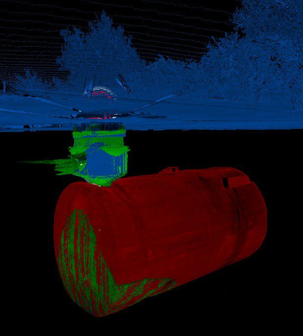
Deliverables
Depending on your project requirements, outputs can include:
- 3D building modelling surveys (external elevations, internal layouts, building sections)
- Full point cloud datasets
- 3D models for BIM integration
- Heritage and conservation surveys
- Structural monitoring surveys
- Volumetric surveys
Event planning layouts
All deliverables are provided in clear, usable formats – ready for design, planning, coordination, or asset management.
How to Specify this Survey
Define scanning coverage, areas required and intended deliverables before the survey begins.
Why Powers?
We do more than collect point clouds. Powers applies proper control, registration and quality checks so the dataset is dependable and usable by architects, engineers and contractors from the start.
Our Services
Topographic Land Surveys
Measured Building Surveys
Underground Utility Detection Surveys
Site Engineering
Boundary Surveys
Geospatial Consulting & Support
Measured Building Surveys in Action
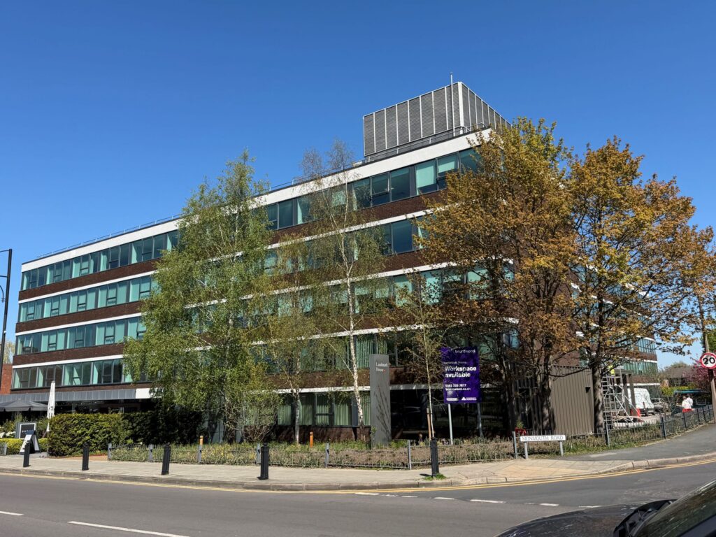
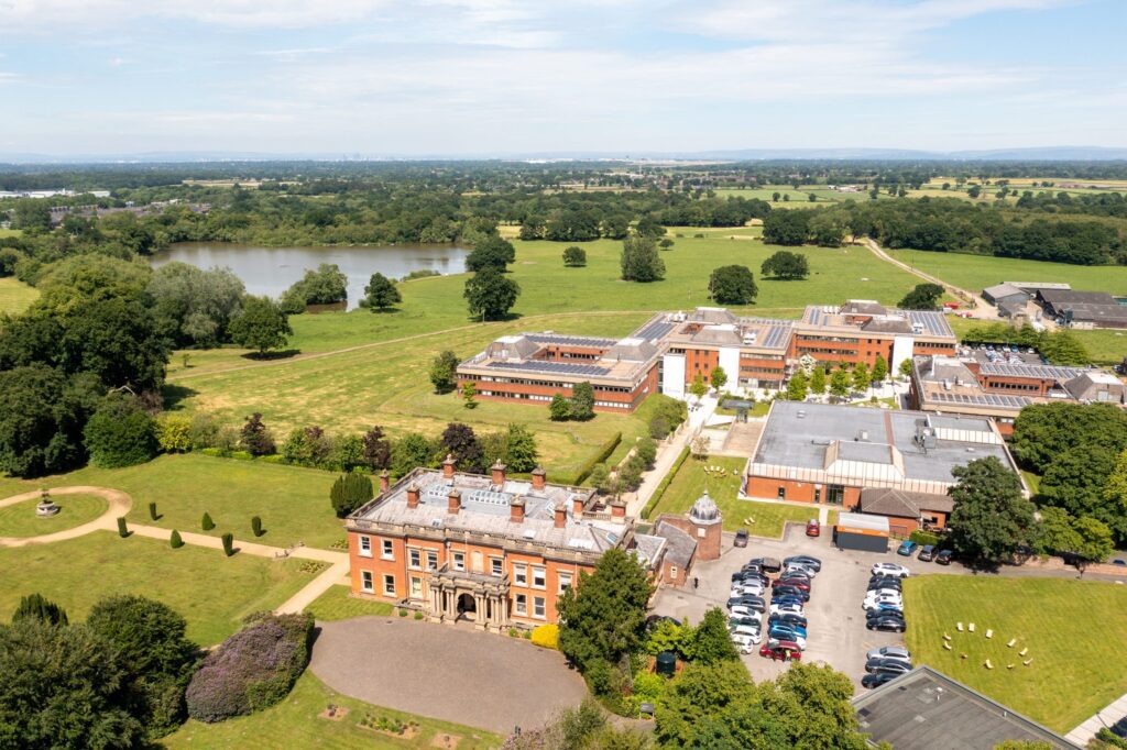
From complex heritage assets to live commercial buildings, our measured building surveys support confident decisions across a wide range of projects. Explore how Powers’ data has helped clients move from uncertainty to clarity.
50 Years of Trusted Partnerships












Start Your Project With Certainty
Need a quote or some more information?
Call 01928 734 473 or send us a message via the form.
By submitting this form, I consent to receive emails from Powers as defined in the Privacy Policy.