Digital Terrain Modelling
Protect your planning application from the viewpoint question before it's asked.
What are Digital Terrain Models?
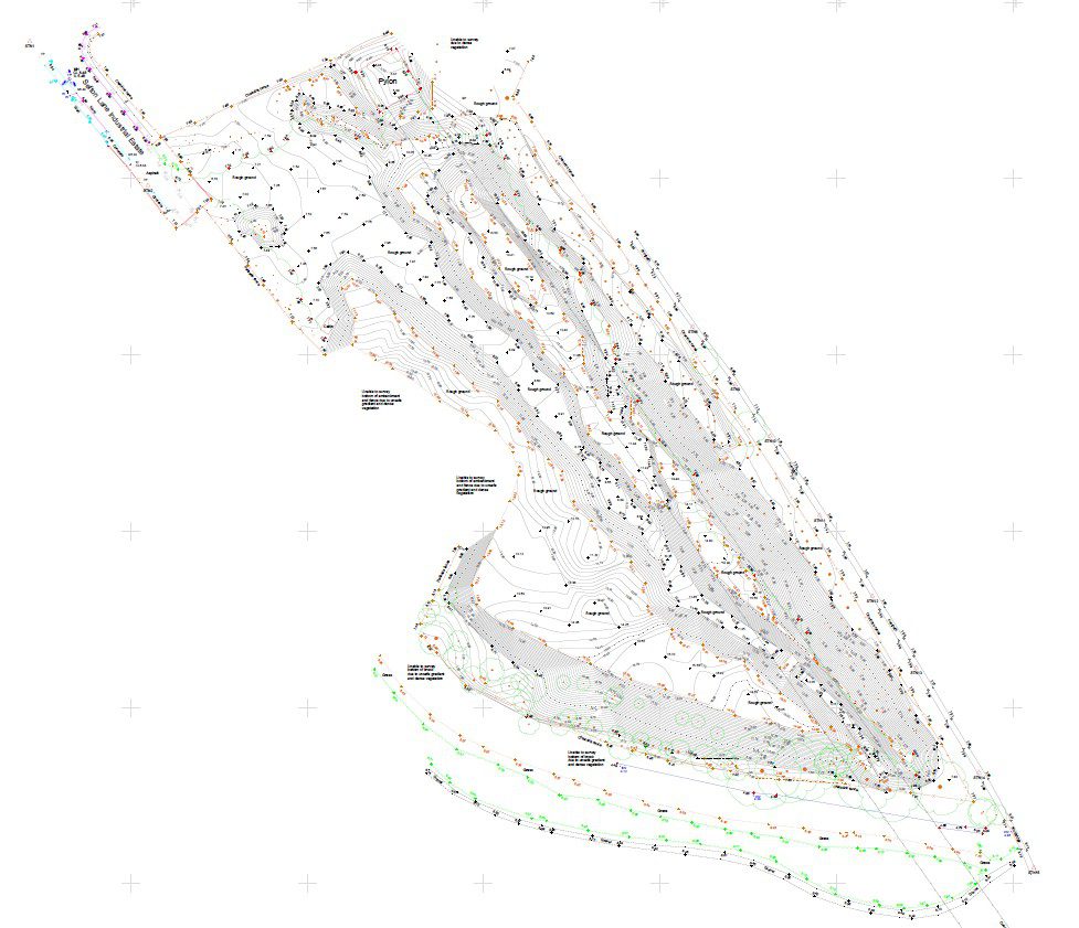
A Digital Terrain Model, or DTM, is the processed ground surface created from topographical survey, laser scan or UAV data once the survey has been cleaned, structured and turned into something engineers can actually design from. It represents the bare-earth shape of the site using levels, breaklines, contours and a triangulated surface.
DTM is used when design decisions depend on the behaviour of the ground rather than just a flat drawing. That includes earthworks, development platforms, drainage falls, access gradients, highway tie-ins, retaining structures, landscape design and cut/fill balancing. If quantities, levels and haul movements matter, a robust DTM matters.
For the best result, the model has to be built from the right input data. That means enough measured density in the right places, proper control, and sensible interpretation of edges, channels, banks, walls and other break lines that affect surface behaviour. A cheap model built from weak inputs can look fine on screen and still be wrong where it counts.
Applications
- Original ground modelling before earthworks start
- Cut and fill calculations and balancing exercises
- Drainage and SuDS design
- Highway levels, platform design and tie-ins
- Volumetrics for stockpiles, excavation and remediation
- Construction-stage comparison against previous survey data
Benefits
- Converts survey data into something engineers can design from
- Improves confidence in volume calculations and level strategy
- Helps identify gradient and drainage issues early
- Supports faster option testing in Civil 3D and similar software
- Reduces disputes over quantities and material movement
- Creates a strong baseline for update surveys and progress tracking
Deliverables
- Digital terrain model / TIN surface
- Contour dataset and break line information
- Original ground level model and update comparisons
- Cut/fill and volumetric reports
- Isopachyte or colour analysis drawings where required
- CAD and Civil 3D compatible files
Why Choose Powers?
Because we do not treat DTM as an automatic by-product. We treat it as an engineering deliverable. We can create the original ground model, update it through project milestones and produce the cut/fill and volume information your team needs to design, price and manage earthworks with confidence.
Our Services
Topographic Land Surveys
Measured Building Surveys
Underground Utility Detection Surveys
Site Engineering
Boundary Surveys
Geospatial Consulting & Support
Topographic Surveys in Action
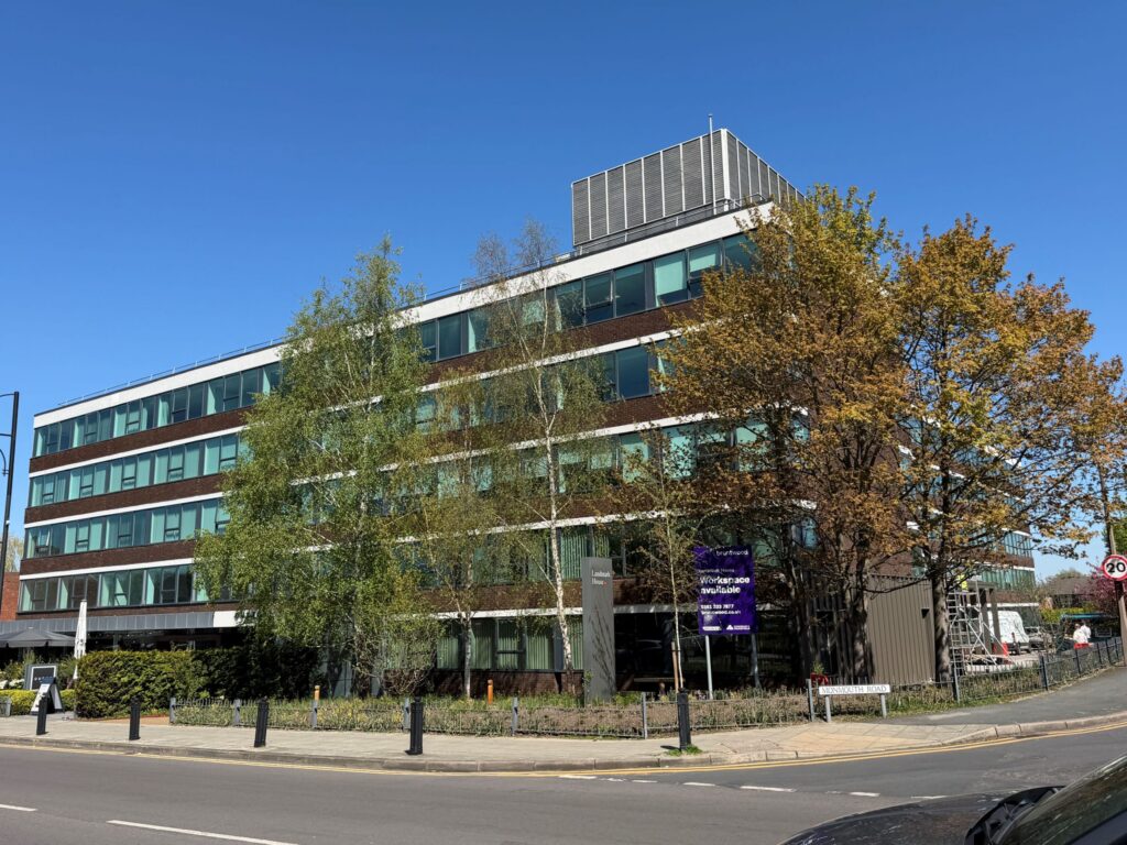
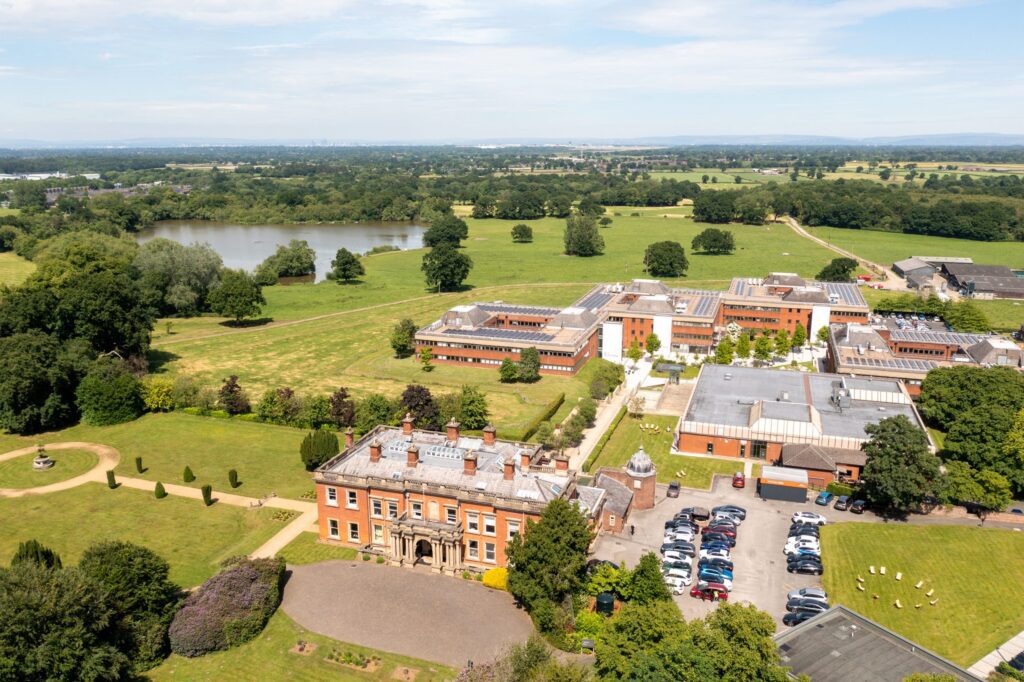
From complex heritage assets to live commercial buildings, our topographic surveys support confident decisions across a wide range of projects. Explore how Powers’ data has helped clients move from uncertainty to clarity.
50 Years of Trusted Partnerships












Start Your Project With Certainty
Need a quote or some more information?
Call 01928 734 473 or send us a message via the form.
By submitting this form, I consent to receive emails from Powers as defined in the Privacy Policy.