
Boundary and Land Title Surveys
Replacing title plan assumptions with measured site evidence - before legal costs are committed.
What are Boundary and Land Title Surveys?
A Boundary and Land Title Survey is the core technical service used to investigate where a legal boundary is most likely to sit.
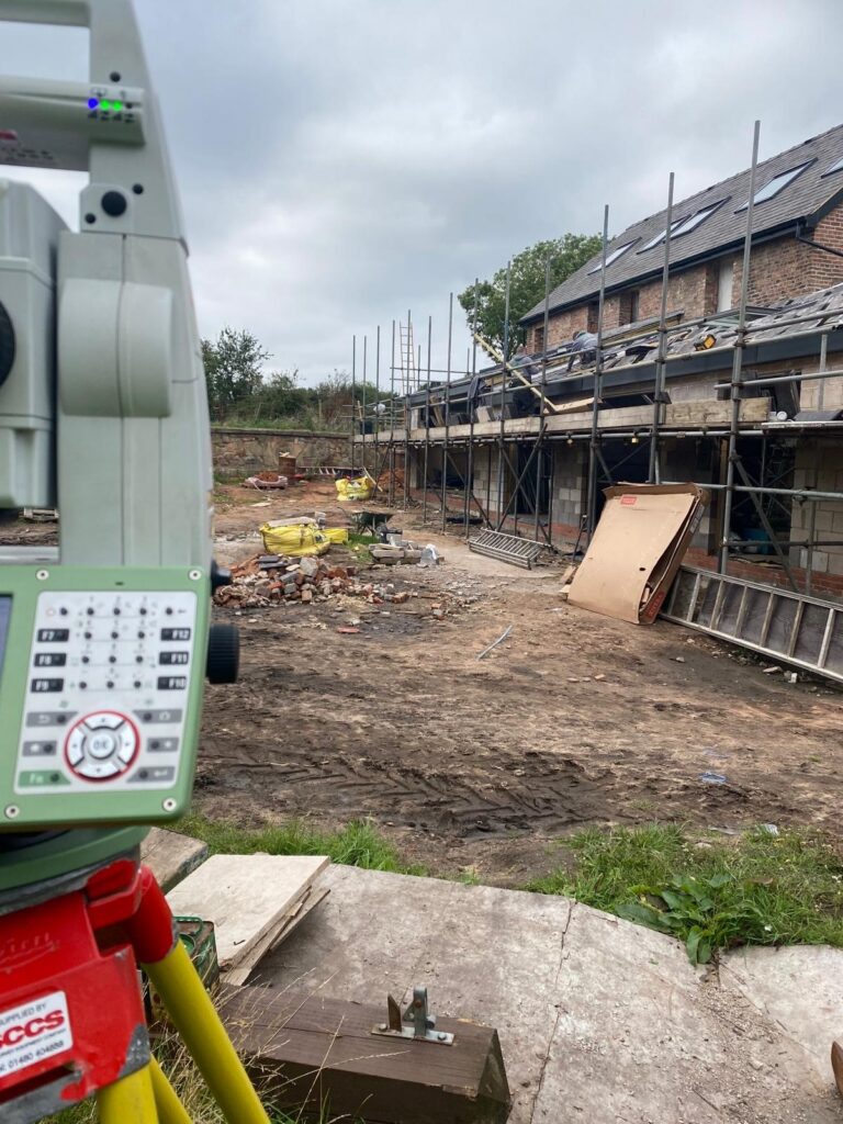
It starts with a detailed measured survey of the site, recording relevant physical features accurately – fences, walls, hedges, retaining edges, buildings, kerbs, tracks, ditches and any other occupation features that may help show how the land has been divided on the ground.
That measured data is then analysed against the title register, title plan, transfer plans, conveyance plans, deed wording and available historic mapping. Where plans are vague, old, differently scaled or inconsistent with what exists on site, the survey helps the legal team understand which pieces of evidence carry most weight and which points need caution.
This service is typically used before issuing proceedings, before responding to the other side, or when a solicitor needs a defensible technical plan to support advice. It is also useful where the objective is a practical resolution – agreeing a boundary line, documenting land being split, or preparing a high-quality plan to support land registration work.
Applications
- Advising on neighbour disputes before litigation starts
- Checking whether a fence, wall or hedge appears to follow the title evidence
- Responding to encroachment allegations or trespass claims
- Supporting land sales, transfers of part and estate layouts
- Clarifying ownership before design, planning or construction works near the edge of title
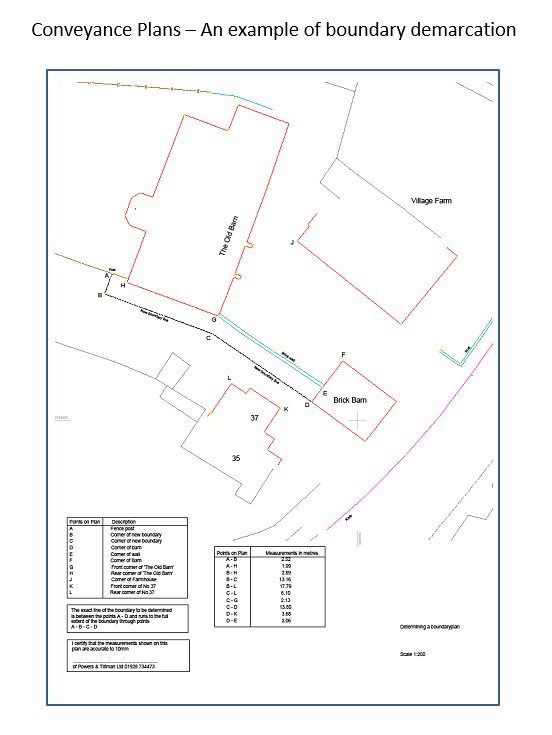
- Supporting boundary demarcation and accurate conveyance or lease plans
Benefits
- Turns abstract title documents into something the client and solicitor can understand
- Reduces the risk of building a legal case on outdated or misleading plans
- Helps separate factual survey issues from legal argument
- Can support earlier settlement because the physical evidence is clearer
- Provides a reusable survey base for later expert witness work if the dispute escalates
- Often improves value for money because one strong measured survey can support several stages of the matter
Deliverables
- High-accuracy measured boundary survey
- Boundary and land title interpretation plan
- Overlay drawing comparing site data with title documents
- Written technical boundary analysis report
- CAD and PDF plan set for legal and property use
- Optional land area schedule, lease plan or conveyance plan where required
Why Choose Powers?
We are well placed for this kind of work because it depends on both measurement quality and clarity of presentation.
Our measured land surveying capability, long trading history and strong information management processes give solicitors a survey company that understands why traceable site evidence, controlled measurement and clean drawings matter.
For clients, it means advice is supported by survey data that can be carried through to negotiation, registration work or expert evidence later if needed.
Our Services
Topographic Land Surveys
Measured Building Surveys
Underground Utility Detection Surveys
Site Engineering
Boundary Surveys
Geospatial Consulting & Support
Boundary Surveys in Action
Our boundary surveys support confident decisions across a wide range of projects. Explore how Powers’ data has helped clients move from uncertainty to clarity.



50 Years of Trusted Partnerships












Start Your Project With Certainty
Need a quote or some more information?
Call 01928 734 473 or send us a message via the form.
By submitting this form, I consent to receive emails from Powers as defined in the Privacy Policy.