
AR – is it the new reality for construction?

AR (Augmented Reality) is no longer something just seen in sci-fi movies from the 80’s, but has become an actual reality in everyday lives. What is AR? AR is an interactive experience for the user. They can see objects around them in their real-life environment. It traditionally uses visual and auditory cues to enhance the […]
Topographical surveys – making sense of your site
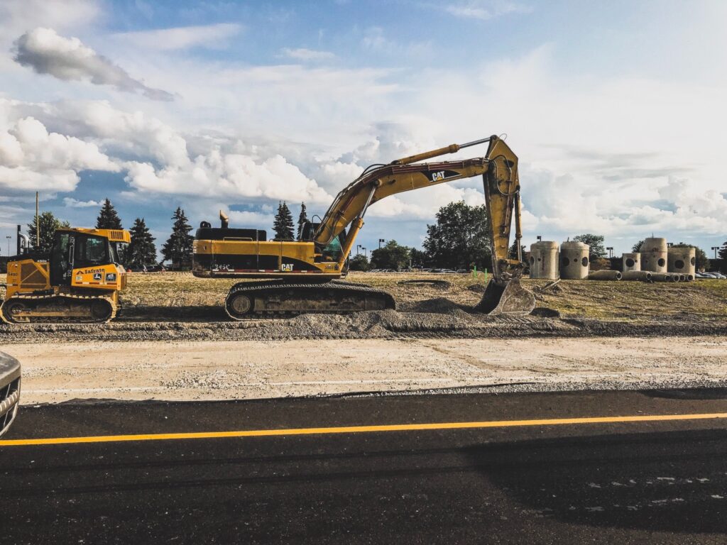
Topos or OS mapping? The purpose of topographical surveys, or topos, as they are often referred to, is to help create a visual representation of a building or plot of land intended for development. Topos provide an in-depth understanding of the building or land to be developed. Understanding what the topography looks like establishes what […]
3D Modelling – the true picture
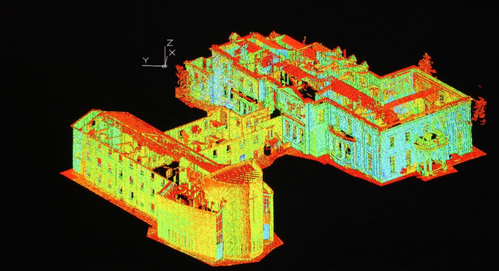
It is a well-known adage that ‘a picture is worth a 1000 words’, meaning that a complex idea can be explained much easier visually. Taking this one step further, a 3D image of a proposed development is much easier to understand than a description or even a flat plan. To this end 3D models are […]
Preparing for Planning at the Priests House, Prestbury
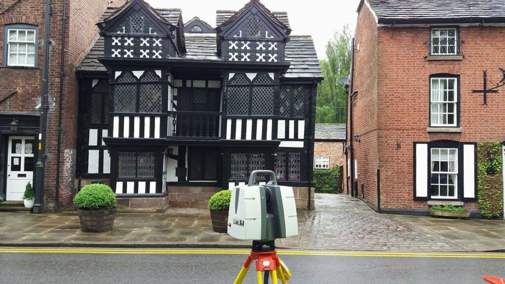
Today Prestbury is a much sought after location and along with the two other villages that make up the ‘Cheshire Golden Triangle’ (Wilmslow and Alderley Edge), it is one of the most expensive places to live outside of London. The quaint village has a population of just 3,500 inhabitants and some of the original buildings, […]