
Using space wisely – surveying, car parks and EV innovation
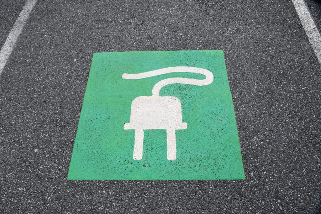
Points of contact One area, for instance, is the need for consideration being given to the ability to recharge vehicles, to facilitate long journeys and lengthy battery timespans. This has led to a great deal of investment in infrastructure projects that have allowed far greater use of these vehicles on a national scale. EVs are […]
Exploring new dimensions – 3D ground modelling and volumetrics
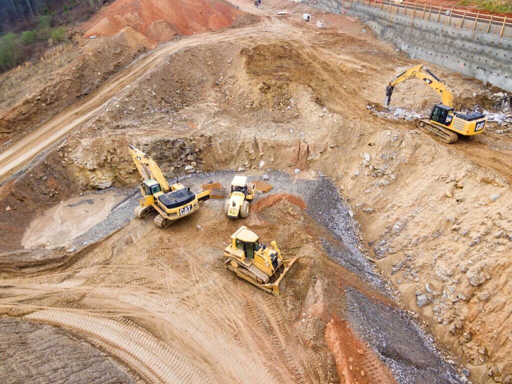
Modelling landscapes Ground modelling turns a topographical survey – with plotted levels and heights – into a 3D contoured or triangulated map. This provides a visual representation of the shape of the site measured. Before any work begins on site, an initial level survey of the area should be completed, in order to obtain accurate […]
Modelling behaviour – Revit models
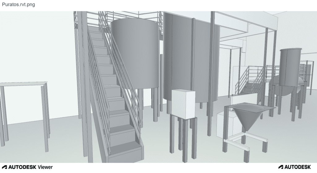
What is a Revit model? Revit is 3D building information modelling (BIM) software, widely used by architects, engineers, and contractors to create a digital single version of truth. This can then be used by all disciplines and trades throughout the project, to help complete their work. Revit was created to support BIM and not to […]
3D laser scanning: capturing millions of data points in moments

3D laser scanning can also be used for heritage surveys and conservation surveys, as well as volumetric surveys, where land/material mass can be calculated to create a desired outcome – for example, providing accurate areas of volumes for cut/fill balancing, or creating a mound or depression in the land to suit your design needs. What […]
On top of it: discovering the benefits of topographical surveys

Why do you need a topographical survey? A topographical survey, often referred to as a topo, can be used for many reasons. It enables our clients to understand the boundaries of their land, the different ground levels across the site and the constraints and opportunities within it, as well as the impact of neighbouring structures. […]
Planning ahead – What’s your 10-year Estate Strategy?

For newly built structures, this plan can be engendered at the design stage, with provision made for a maintenance schedule, for example. Having a digital plan of the building from its inception can help it be better managed from the outset and ensure that all aspects of its construction remain in optimum condition. Such forward […]
A measured approach – Measured Building Surveys

Types of Measured Building Survey A measured building survey provides a detailed and accurate depiction of existing buildings. This includes the external elevations – which show the full extent of the exterior of a building – as well as internal elevations and floorplans. Elevation drawings are made from a 3D point cloud, which are then […]
Dual purpose – what is a Digital Twin?

Digital twin technology can be used in all kinds of different industries and situations, and is particularly useful in the construction industry. A digital twin is a digital representation of an intended or an actual real-world physical product, system, or process – this is its physical twin. The digital twin serves as an indistinguishable counterpart […]
Looking at the Big Picture
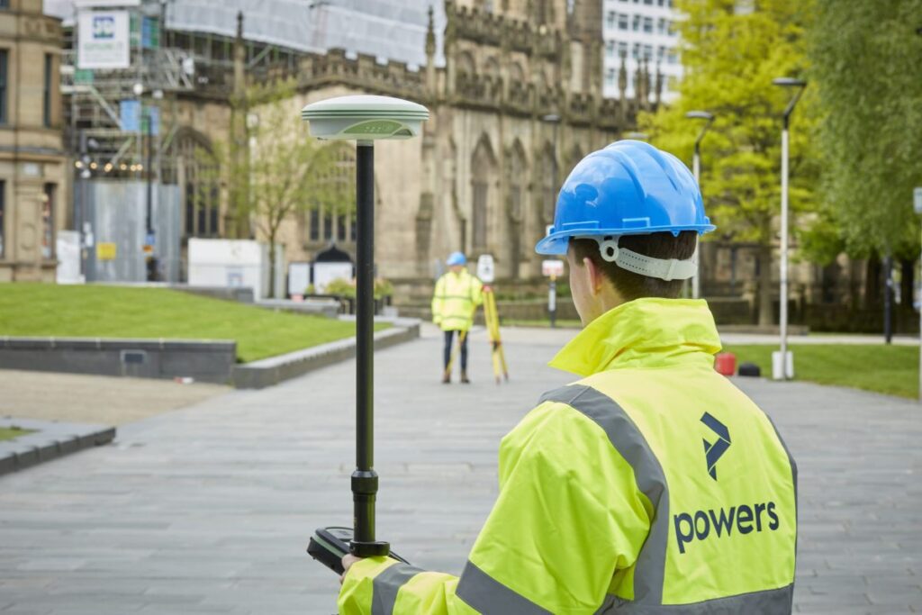
We can carry out these surveys for a number of reasons, from an evaluation of the plot’s worth, for a feasibility study (is a site worth developing or will it get planning), to a full-scale design or structural development before planning or construction begins on a project. These surveys can detail all kinds of […]
Topographical surveys: why are they so important?
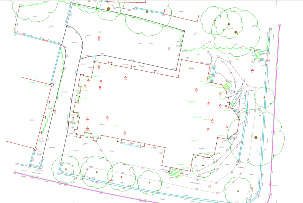
The first step to any construction project is a topographical survey outlining the ground levels, features, and critical measurements of a piece of land for development. It may also include an underground services detection survey so that everyone is aware of any utilities or other obstructions that lie within your site boundary. Although this would […]