
Outlining potential – Feasibility Studies
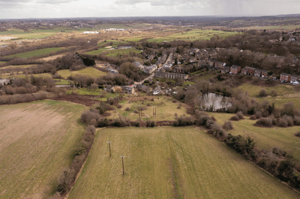
Feasibility studies are an important stage in the planning and construction process. They are a good way to gauge if a project is viable and if there’s an opportunity for the scope of works to be carried out as intended. They also provide insight into what this scope of work can be and what potential the site holds, an overview of what is possible and what’s not.
One version of the truth – Asset Registers
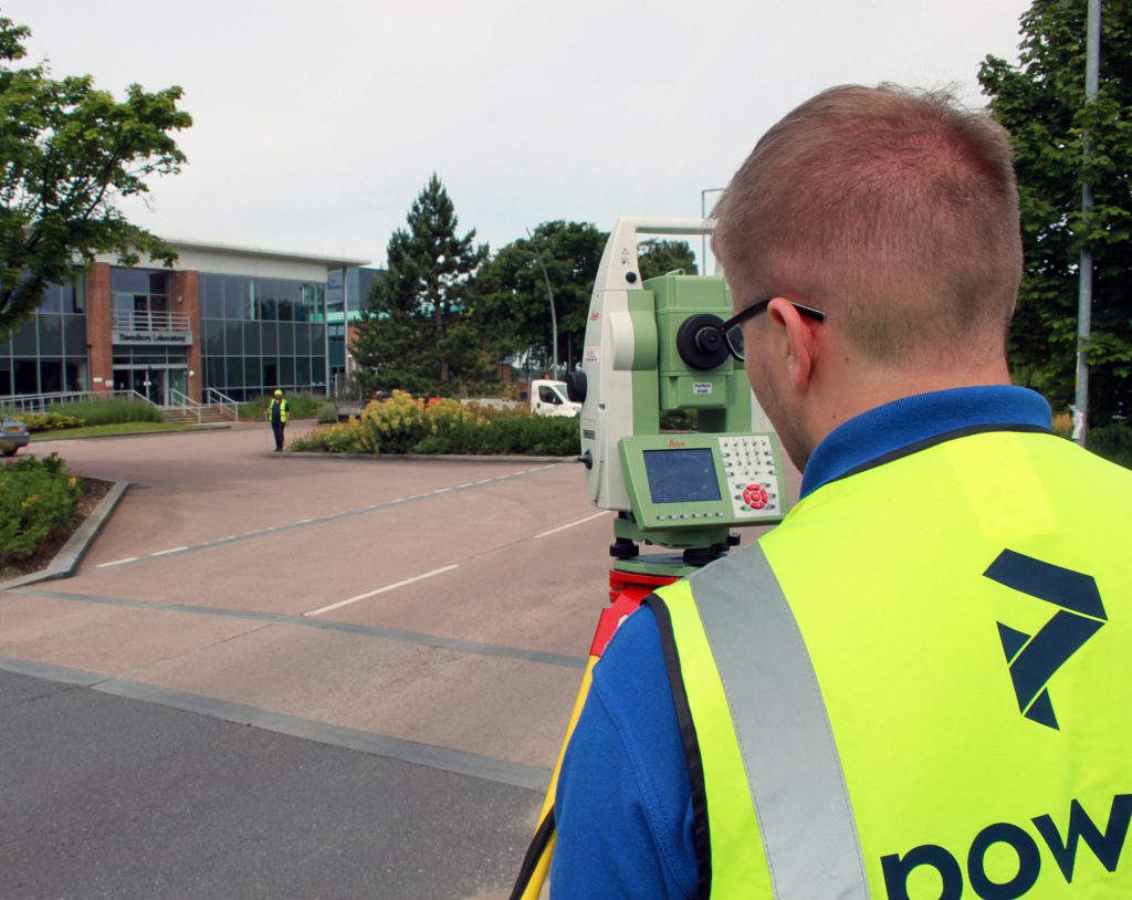
An asset register ensures that all estate management information is held in one place. Asset registers are inventories and collated data of owned assets. Their main users are local councils and authorities, and affiliated estate or land management companies. Essentially, the property asset register is a list of council-owned land and buildings. It also contains details of properties in which the council has an interest, such as academies and church schools, but doesn’t include housing stock properties.
Helping to build community spirit
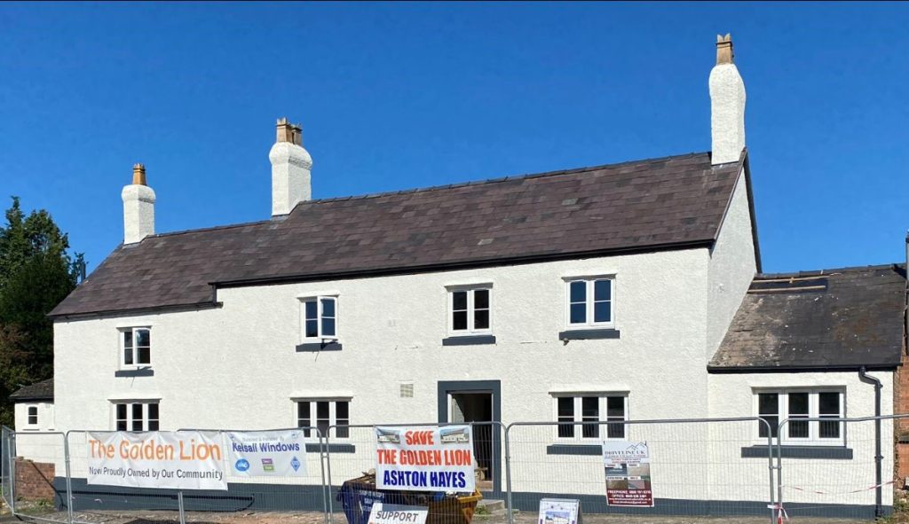
Securing community assets As well as drinks and food, pubs serve so much more to a community. The fact that the Golden Lion has been closed for more than 10 years is such a shame for a village like Ashton Hayes. Initially, the empty building was taken on by someone that simply wanted to get […]
A day in the life of… Joe Laughton, senior surveyor at Powers

Perfect planning Joe explains: “My day starts at 08:00 when the surveyors come in to pick up their equipment, check RAMS have been created and review the project brief one final time before heading out for the day. At the beginning and end of every week, we have a planning meeting where the senior team […]
To infinity (and beyond): aerial drone surveys
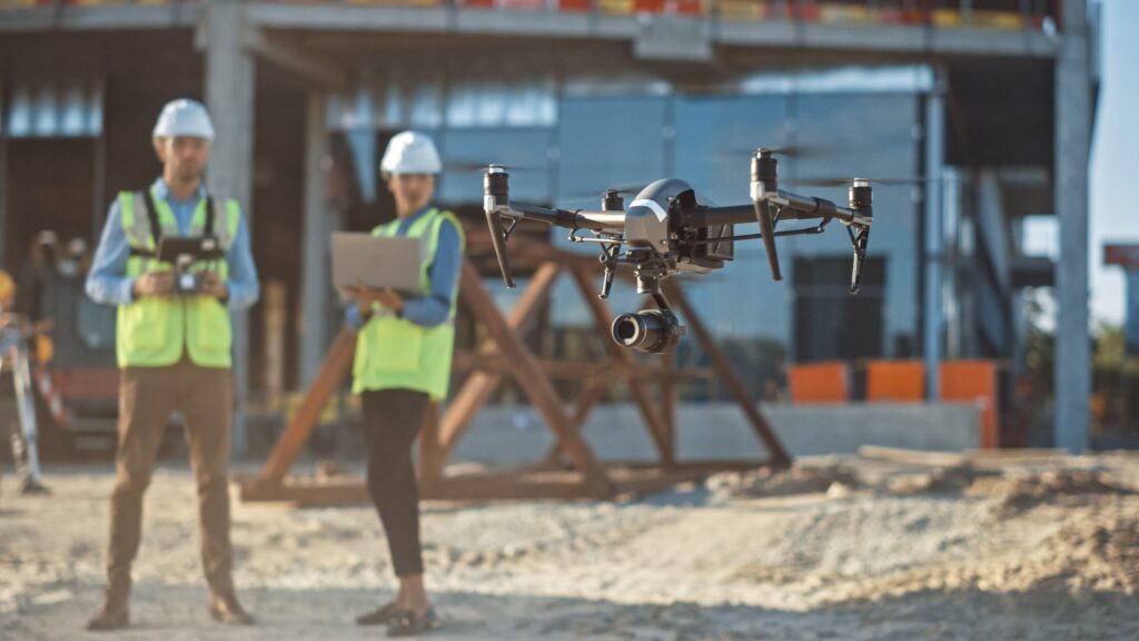
The sky’s the limit Drones are robotic, flying remote controlled craft fitted with cameras and onboard data gathering equipment. They are also called Unmanned Aerial Vehicles or UAVs. Drone surveys can be useful for land surveying and cartography, urban planning and development, construction and planning, environmental studies and research, and volumetric measurement. They’re an excellent […]
Survey specification – right from the start
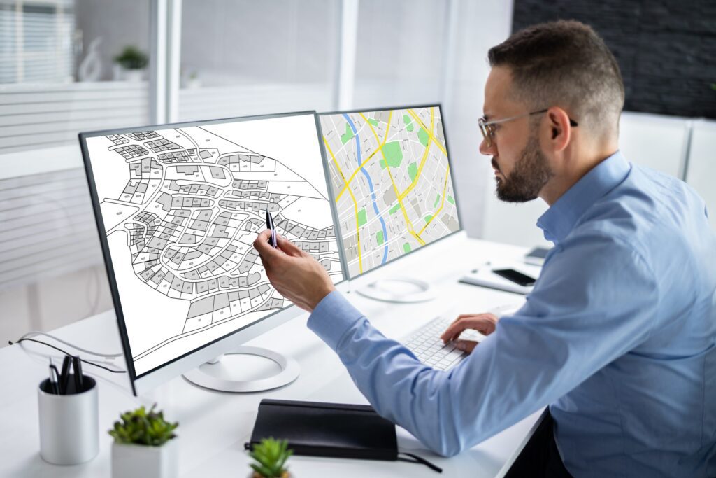
Levels of detail At Powers, we have over 50 years of experience of working on all kinds of projects. Not just construction projects, but also engineering, scientific and environmental. When you are in the early stages of a project, our skilled team at Powers can work with you to ensure that we are surveying exactly […]
Why is it a good idea to get my measured building survey or underground services detection done at the same time as the topographic survey?
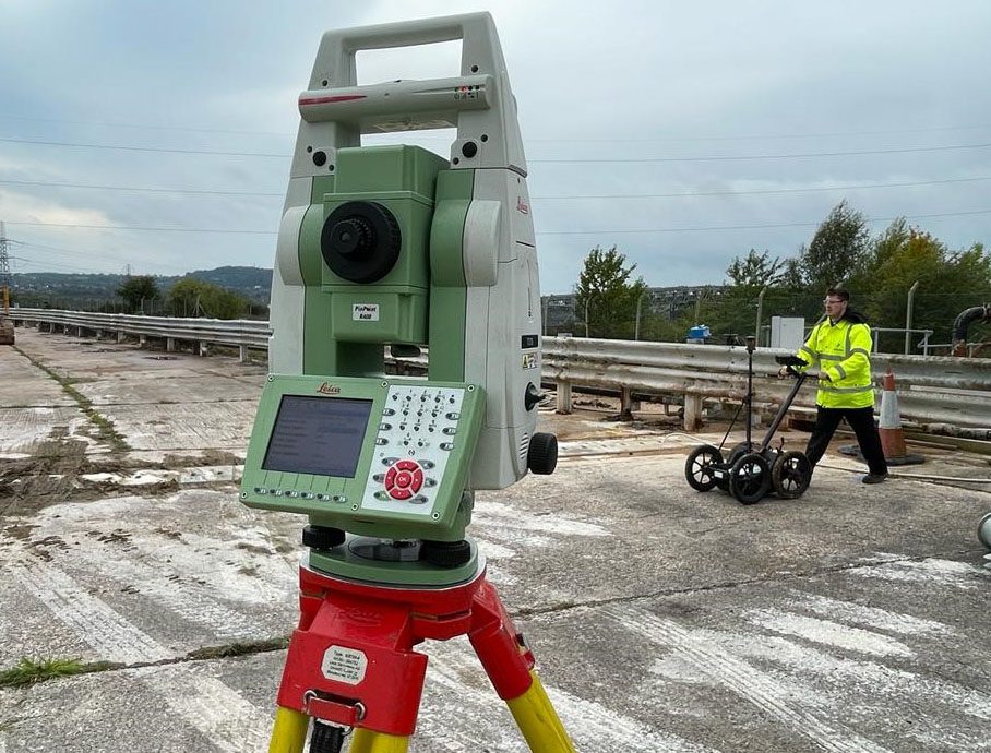
The level of detail a topo provides can help with the understanding – and create the visual representation – of the site. It will also establish what enabling work needs to be carried out before the start of construction, such as the scale of the earthworks required. However, despite this high level of detail, it […]
Innovation: Digital twins and measured building surveys
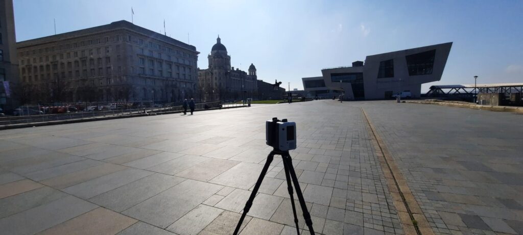
The here and now A full measured building survey is used to create a digital twin. This is done by plotting the dimensions and scope of a building or structure as they stand. Measured building surveys of existing buildings are required by developers, planners, architects and local authorities, who want to document what currently exists. […]
Measured building surveys – back to the drawing board
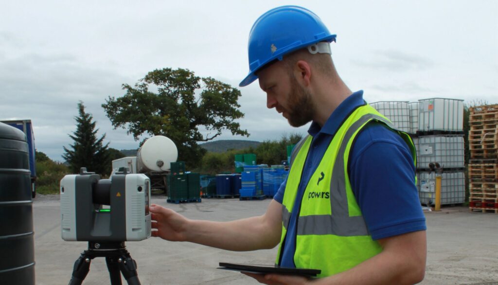
Time and place Measured building surveys are carried out using 3D laser scanners. The geospatial data gathered from the resulting point clouds is used to create digital 3D models or digital twins, elevations, floor plans and sections. This provides a snapshot of time and place in a structure’s lifecycle. They are an essential part of […]
Made to measure – what is a measured building survey?
Captured for posterity Measured building surveys of existing buildings are required by developers, planners and architects, who want to document what currently exists structurally. These plans illustrate all the structural elements and architectural features of a building. This will include external elevations of the building, i.e. how the building appears from the frontage and from […]