
Exploring new dimensions – 3D ground modelling and volumetrics
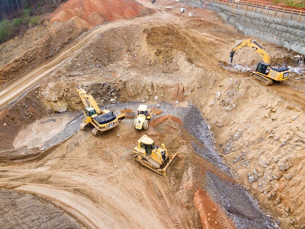
Modelling landscapes Ground modelling turns a topographical survey – with plotted levels and heights – into a 3D contoured or triangulated map. This provides a visual representation of the shape of the site measured. Before any work begins on site, an initial level survey of the area should be completed, in order to obtain accurate […]
Benefits of an as-built survey
The finished article One of the aspects of our work that comes at the end of the construction project is an as-built survey. Also known as ‘as constructed’. This type of survey is usually produced when construction has been completed. They are used to illustrate where buildings, pavements, roads and other features have been built. […]
On top of it: discovering the benefits of topographical surveys

Why do you need a topographical survey? A topographical survey, often referred to as a topo, can be used for many reasons. It enables our clients to understand the boundaries of their land, the different ground levels across the site and the constraints and opportunities within it, as well as the impact of neighbouring structures. […]
Planning ahead – What’s your 10-year Estate Strategy?

For newly built structures, this plan can be engendered at the design stage, with provision made for a maintenance schedule, for example. Having a digital plan of the building from its inception can help it be better managed from the outset and ensure that all aspects of its construction remain in optimum condition. Such forward […]
Houses of Parliament: how would Powers conduct a survey of this building?

The Houses of Parliament – a measured building surveyor’s dream What measured surveys would the Head of Restoration and Renewal at the Houses of Parliament need to ensure its ongoing safety and repair? A topographical survey – showing the building within its surrounding environment including gardens, roads and paths leading from street level into the […]
Surveying a cemetery: why would one need to be surveyed?

How do you survey a cemetery? A cemetery (or graveyard) is surveyed in the same way as any other site. Depending on the specification of the client, a topographical survey would be conducted, along with an underground utility detection survey (utility mapping). The topographical survey would show the contours of the land and the features, […]
What is an as-built survey?

INSIGHTS What is an as-built survey? An as-built survey is usually produced at the end of a project. They’re used to illustrate where buildings, pavements, roads, and other features have been built. However, they can be carried out after different phases of construction have been completed, providing a point in time for owners to reference. […]
AR – is it the new reality for construction?

AR (Augmented Reality) is no longer something just seen in sci-fi movies from the 80’s, but has become an actual reality in everyday lives. What is AR? AR is an interactive experience for the user. They can see objects around them in their real-life environment. It traditionally uses visual and auditory cues to enhance the […]
From the top down: why are ‘as built’ surveys so important?
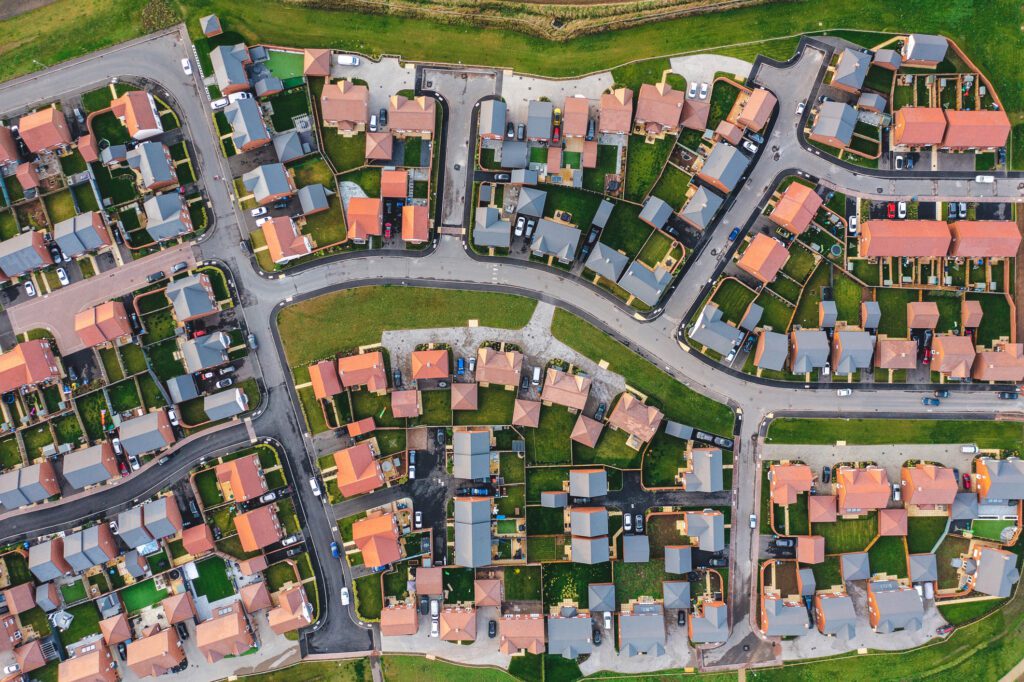
What is an ‘as built’ survey? ‘As built’ surveys serve as a record of any changes or variations made throughout a construction project. They show the location of underground pipes or utilities such as gas, phone and power lines, sewers, storm drains and their condition as well has building positions, roads, pavements and curb heights. […]