
As-built surveys – a useful aid to facilities management

A comprehensive overview Facility managers – contractors who maintain and oversee large, often multiple occupancy or use buildings, such as apartment blocks, schools, chemical or manufacturing plants or offices – can use the data provided in as-built surveys to ascertain areas of concern or to aid renovation, inspection, audits or planned changes. Facilities managers rely […]
As-built surveys – a timeless, permanent record

Also known as ‘As Constructed’ surveys, this type of survey is usually produced at the end of a construction phase or when construction is complete. They are a definitive record of where buildings and other permanent features such as roads, pavements, walls and other aspects have been built. However, they can also be carried out […]
What is a complex topographical survey?
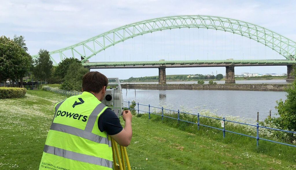
Backbone of the project Topographical surveys are the backbone of reliable construction project planning and design. Measured data gathered during a geospatial survey can be used in a number of ways and drawings are an important part of the design and construction process. Surveyors should be engaged to undertake ‘topo’ surveys, as they are informally […]
Innovation: Digital twins and measured building surveys
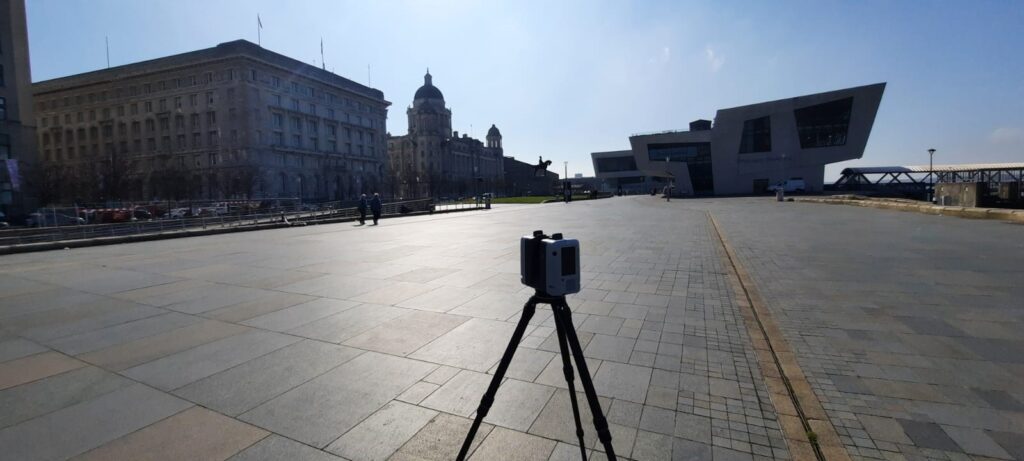
The here and now A full measured building survey is used to create a digital twin. This is done by plotting the dimensions and scope of a building or structure as they stand. Measured building surveys of existing buildings are required by developers, planners, architects and local authorities, who want to document what currently exists. […]
Measured building surveys – back to the drawing board

Time and place Measured building surveys are carried out using 3D laser scanners. The geospatial data gathered from the resulting point clouds is used to create digital 3D models or digital twins, elevations, floor plans and sections. This provides a snapshot of time and place in a structure’s lifecycle. They are an essential part of […]
Made to measure – what is a measured building survey?
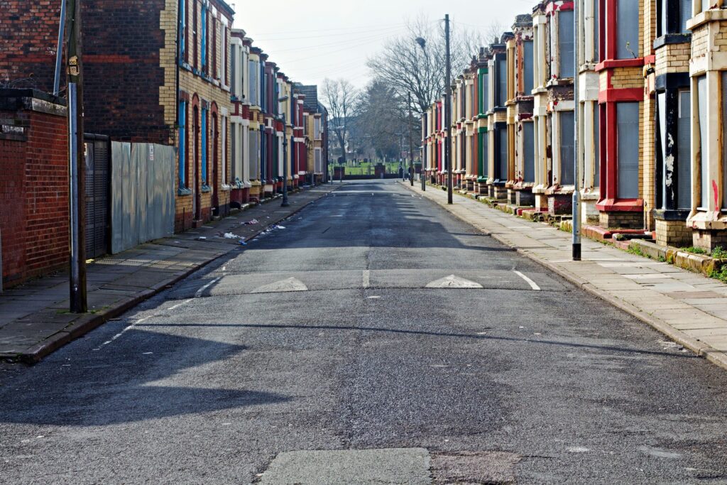
Captured for posterity Measured building surveys of existing buildings are required by developers, planners and architects, who want to document what currently exists structurally. These plans illustrate all the structural elements and architectural features of a building. This will include external elevations of the building, i.e. how the building appears from the frontage and from […]
Visualising future cityscapes – accurate measured viewpoints

Placed in context Urban development is always on the agenda and it’s important to be able to depict how the final results will appear when in situ, in respect to other buildings. We are very involved in this part of the urban development process. As part of our land and buildings surveying services, we offer […]
Using space wisely – surveying, car parks and EV innovation
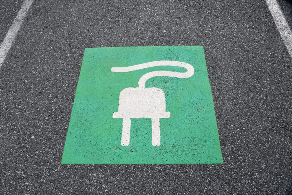
Points of contact One area, for instance, is the need for consideration being given to the ability to recharge vehicles, to facilitate long journeys and lengthy battery timespans. This has led to a great deal of investment in infrastructure projects that have allowed far greater use of these vehicles on a national scale. EVs are […]
Benefits of an as-built survey
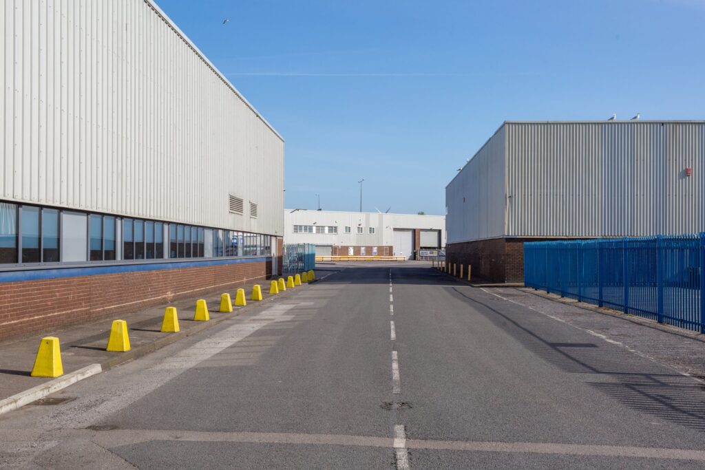
The finished article One of the aspects of our work that comes at the end of the construction project is an as-built survey. Also known as ‘as constructed’. This type of survey is usually produced when construction has been completed. They are used to illustrate where buildings, pavements, roads and other features have been built. […]
On top of it: discovering the benefits of topographical surveys

Why do you need a topographical survey? A topographical survey, often referred to as a topo, can be used for many reasons. It enables our clients to understand the boundaries of their land, the different ground levels across the site and the constraints and opportunities within it, as well as the impact of neighbouring structures. […]