
Putting Surveyors Back at the Centre of Reality Capture

As reality capture technology becomes increasingly accessible, industry conversations have often focused on speed, automation and tools. While these advances bring clear benefits, they can sometimes overlook the professional expertise required to ensure accuracy, control and trust in geospatial data. A new joint article from The Survey Association and Leica Geosystems, Guardians of Precision: the […]
The finishing touch: the importance of Level 3 Apprenticeship End Point Assessments
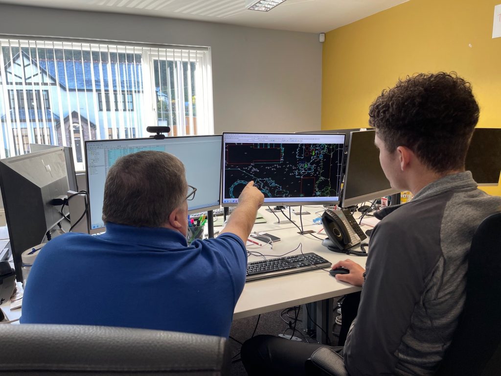
When one of our apprentices finishes their college course, they have to undertake an End Point Assessment (EPA). This is an integral part of the apprenticeship process and is a considerable piece of work. George, one of Power’s apprentices, has just completed his EPA and it’s interesting to look at what this entailed and how it’s a fundamental part of becoming a surveyor.
10 things architecture, construction, consultants and civil engineering companies need to know about Powers Geospatial Consultancy
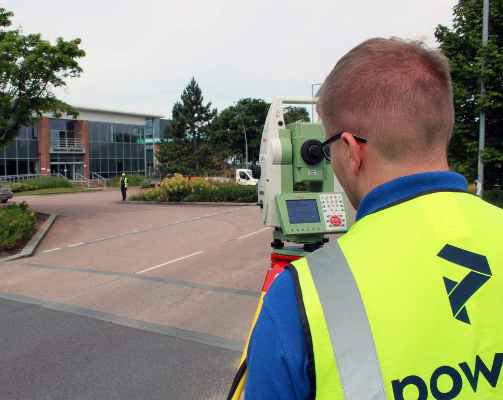
The Powers land survey team offers a wide range of geospatial services. These include topographical surveys, underground utility detection, measured building surveys, drone surveys, monitoring and setting out, through to Revit models, BIM & 3D modelling, volumetrics, Land Registry plans, as well as lease and boundary surveys.
One version of the truth – Asset Registers
An asset register ensures that all estate management information is held in one place. Asset registers are inventories and collated data of owned assets. Their main users are local councils and authorities, and affiliated estate or land management companies. Essentially, the property asset register is a list of council-owned land and buildings. It also contains details of properties in which the council has an interest, such as academies and church schools, but doesn’t include housing stock properties.
Deformation and movement monitoring: large-scale monitoring jobs
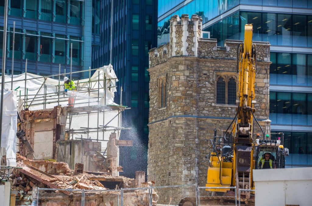
Impacts of construction A good example would be the impact of a new construction project on a surrounding area. A construction company could be building a new urban development between two buildings. The other two buildings might be much older, built of aged materials and in a state of deterioration. The project would need to […]
Survey specification – right from the start

Levels of detail At Powers, we have over 50 years of experience of working on all kinds of projects. Not just construction projects, but also engineering, scientific and environmental. When you are in the early stages of a project, our skilled team at Powers can work with you to ensure that we are surveying exactly […]
Powers achieves PAS128 certification
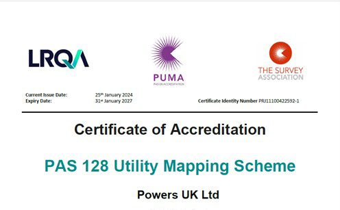
What is PUMA? PUMA – or PAS128 Utility Mapping Accreditation – provides a benchmark and creates a national standard for best practice for underground utility detection surveys. This will give accredited surveyors a competitive edge and will demonstrate their company’s continuous professional improvement. The Survey Association (TSA) has created the trailblazing PAS128 certification scheme specifically […]
Powering on: 50 years of geospatial surveying
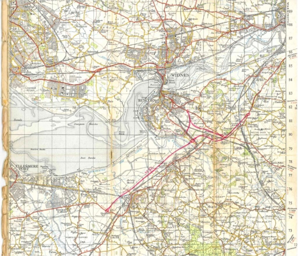
Early days “Eric Tiltman set up the original business known as EVE Tiltman. He was an engineering surveyor and my father, Mike Powers had worked with Eric on a few projects in the late 60s early 70s . Eric began to take on some larger projects and approached Mike to partner up with him. Mike and […]
Understanding the first principles of surveying
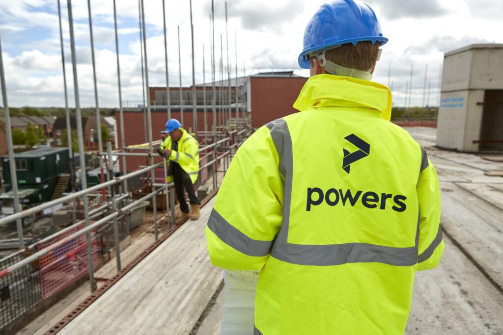
What are the first principles of surveying? Accuracy and precision Geospatial and land surveying requires precise and accurate measurements to ensure reliable results. Surveyors must adhere to strict standards and use appropriate instruments and techniques to achieve accurate measurements. However, this on its own is not enough. While the equipment can provide accurate data, it […]
A level playing field – specifications and certifications

Specification vs certification Specification means we’ll work to a client’s spec, which can be tailored accordingly, simplified or spec’d up. A specification working to a RICS Code of Measuring Practice (6th Edition) spec, for example, means that we will follow a certain specification for carrying out different types of surveys. Certification means we are audited […]