
What is a complex topographical survey?
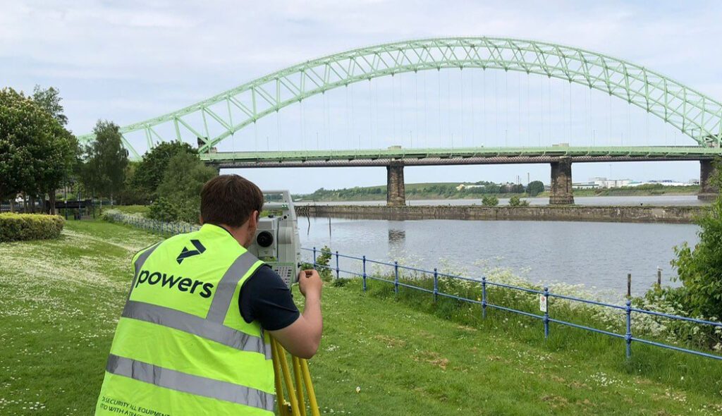
Backbone of the project Topographical surveys are the backbone of reliable construction project planning and design. Measured data gathered during a geospatial survey can be used in a number of ways and drawings are an important part of the design and construction process. Surveyors should be engaged to undertake ‘topo’ surveys, as they are informally […]
Innovation: Digital twins and measured building surveys
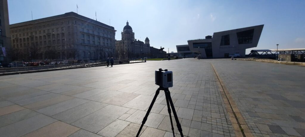
The here and now A full measured building survey is used to create a digital twin. This is done by plotting the dimensions and scope of a building or structure as they stand. Measured building surveys of existing buildings are required by developers, planners, architects and local authorities, who want to document what currently exists. […]
Measured building surveys – back to the drawing board
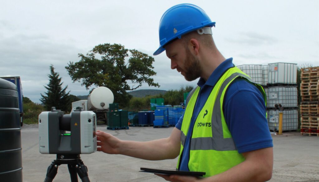
Time and place Measured building surveys are carried out using 3D laser scanners. The geospatial data gathered from the resulting point clouds is used to create digital 3D models or digital twins, elevations, floor plans and sections. This provides a snapshot of time and place in a structure’s lifecycle. They are an essential part of […]
Made to measure – what is a measured building survey?
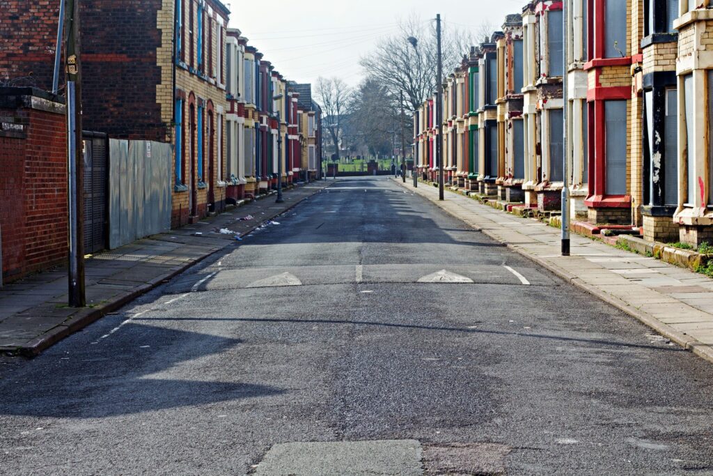
Captured for posterity Measured building surveys of existing buildings are required by developers, planners and architects, who want to document what currently exists structurally. These plans illustrate all the structural elements and architectural features of a building. This will include external elevations of the building, i.e. how the building appears from the frontage and from […]
Back to basics: How to choose your setting out partner
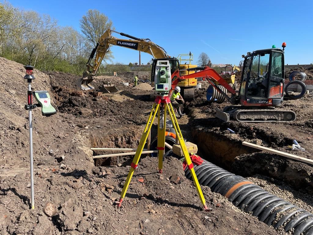
Choose someone who has the time to do the job when you need it done. This may sound obvious, but you don’t want to be engaging someone to carry out a contract, only to find that they make a rush job of it, or haven’t sufficient time, enthusiasm or inclination to provide a professional […]
Setting out for construction – the importance of accurate measurements
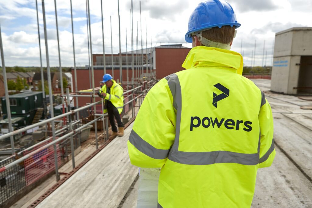
Accuracy essential in setting out With any discipline that involves dimensions, a very high degree of accuracy is essential when setting out buildings or infrastructure projects. Digital equipment and data recording allows little margin for error. Our professional site engineers ensure that all setting out is carried out with precision and efficiency, using a combination […]
Apprenticeships: Surveying your future direction
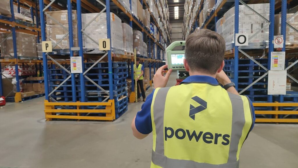
Skills for life One avenue into the profession is apprenticeships and National Apprenticeship Week (NAW) is a great vehicle for highlighting a multitude of careers to prospective candidates. This year’s event runs from 5-11 February and is the 17th annual celebration of apprenticeships. The week brings together everyone who is passionate about apprenticeships and celebrates […]
What are UU surveys and why are they important?
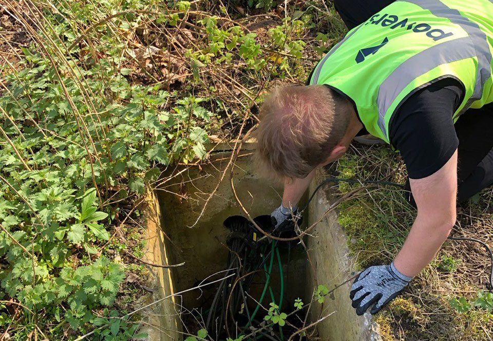
Into the unknown While surface topographical surveys will map what can be seen above ground, ground penetrating radar (GPR) is used to identify and pinpoint what is hidden from sight and buried underground. You’ll usually be looking at developing a site if you carry out an underground survey, but they can also be used for […]
The PAS128 accreditation and why it’s important

Quality and accuracy As part of our geospatial survey offering, we can locate the presence or absence of underground services on prospective building sites. To do this, we use ground penetrating radar (GPR) and other electromagnetic equipment. As a member of the professional body, The Survey Association (TSA), our membership allows us to apply to […]
Powers’ 12 posts of Christmas – a look back at 2023

January At Powers, we are committed to looking at ways in which we can reduce our carbon emissions in the ongoing journey towards net zero. To this end, we reviewed our carbon emissions in January and updated our environmental targets for 2023 https://tinyurl.com/mvpznb3f. We were also pleased to see the launch of the Save Construction […]