Mobile Mapping Surveys
The faster, safer way to survey long routes - without stopping every few metres.
What is a Mobile Mapping Survey?
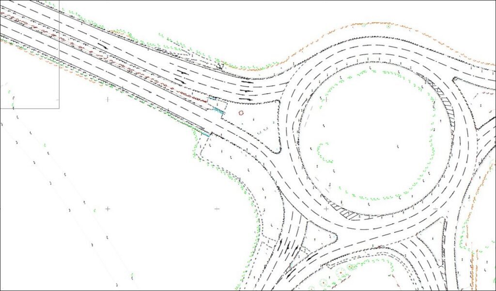
A mobile mapping survey captures survey-grade geospatial data from a moving vehicle using a combination of LiDAR, cameras, GNSS and inertial measurement.
It is built for long, linear or live environments where stopping every few metres with traditional equipment would be slow, disruptive or expensive.
In the construction sector, mobile mapping is usually applied to highways, estate roads, access corridors, public realm routes, industrial estates, ports, airports and large development road networks.
It comes into its own where traffic management is a major cost driver, where the route length is substantial, or where you need both measured geometry and a visual record of the corridor.
Accuracy still depends on control. We plan the route, assess satellite conditions, establish ground control and then process the dataset so the point cloud and imagery can be trusted for engineering use.
Where a scheme has critical junctions, bridge interfaces, deep recesses or detail hidden from the vehicle path, we supplement the route with static survey methods rather than pretending one tool can do everything.

Applications
- Highway improvement and junction design
- Route surveys for access roads and development corridors
- Kerb, carriageway, verge and streetscape mapping
- Linear asset condition and inventory capture
- Pre-construction corridor modelling and planning
- Large industrial and logistics estates with extensive road networks
Benefits
- Rapid coverage of long routes and linear assets
- Less need for traffic management and road occupation
- Safer capture in live traffic environments
- Combines measured geometry with 360° visual context
- Speeds up programme on corridor-based projects
- Delivers strong value where site extent is large and linear
Deliverables
- Geo-referenced LiDAR point cloud
- 2D CAD mapping and corridor plans
- 3D digital models and extracted levels
- Geo-referenced photographs and / or video
- Asset schedules or GIS-ready outputs where required
- Control report and coordinate data
Why Choose Powers?
We use mobile mapping where it genuinely improves safety, speed and value, then add targeted conventional survey at the pinch points so the final output is useful to designers and contractors, not just impressive to look at.
Our Services
Topographic Land Surveys
Measured Building Surveys
Underground Utility Detection Surveys
Site Engineering
Boundary Surveys
Geospatial Consulting & Support
Topographic Surveys in Action
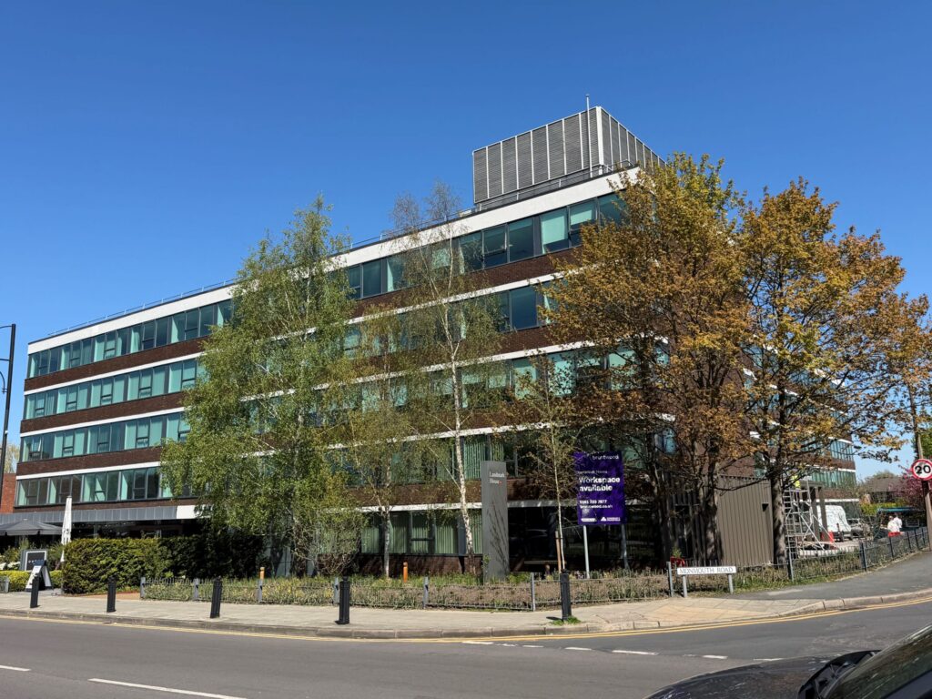
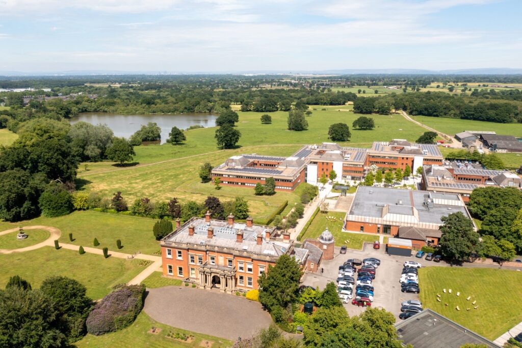
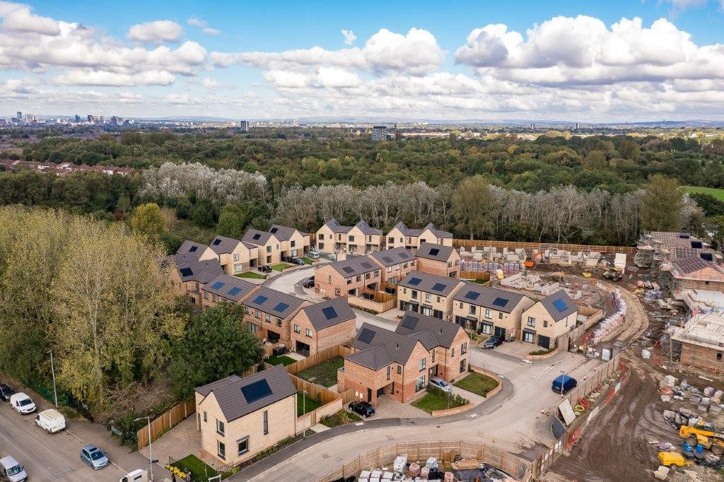
From complex heritage assets to live commercial buildings, our topographic surveys support confident decisions across a wide range of projects. Explore how Powers’ data has helped clients move from uncertainty to clarity.
50 Years of Trusted Partnerships












Start Your Project With Certainty
Need a quote or some more information?
Call 01928 734 473 or send us a message via the form.
By submitting this form, I consent to receive emails from Powers as defined in the Privacy Policy.