
boundary surveys
Turning title uncertainty into clear, defensible evidence on the ground.
What are Boundary Surveys?
Most registered titles in England and Wales use general boundaries. The red edging on a Land Registry title plan indicates the approximate extent of ownership – it does not fix the legal line on the ground. When that uncertainty matters, whether for a development, a transaction, a neighbour dispute or a legal matter, a boundary survey gives you the factual basis to move forward.
We carry out accurate measured surveys of the relevant site features – fences, walls, hedges, buildings, kerbs, ditches and any physical evidence of long-standing occupation – and set that data against the title documents, transfer plans, deed wording and historic mapping.
The result is a clear, evidence-based picture of where the boundary most likely sits and what the physical record does or does not support.
Boundary surveys serve a wide range of situations. Some are straightforward: a development coming close to a title edge, a land sale that needs a clean conveyance plan, a transfer of part requiring accurate documentation. Others are more complex: a contested neighbour dispute, an encroachment allegation, or a matter that may eventually need expert witness evidence.
Our services cover the full range – from early-stage investigation through to court-ready reporting.
Applications
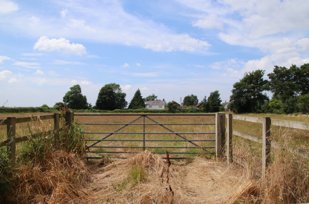
- Neighbour disputes over fences, walls, hedges or access strips
- Property sales where boundary uncertainty is affecting the transaction
- Development schemes close to a disputed edge of ownership
- Encroachment allegations, including alleged boundary creep over time
- Sub-division of land and preparation of lease or conveyance plans
- Early solicitor review before sending formal correspondence or issuing proceedings
Benefits
- Gives solicitors a factual baseline before legal costs escalate
- Avoids over-reliance on title plan scaling, which is often unsafe
- Helps identify whether a dispute may be better suited to negotiation or litigation
- Improves the quality of advice to the client because the site evidence is known
- Makes it easier to explain the case to the other side, mediator or judge
- Can expose weak assumptions early, which saves time, cost and credibility
Deliverables
- Measured survey of relevant boundary features in DWG and PDF
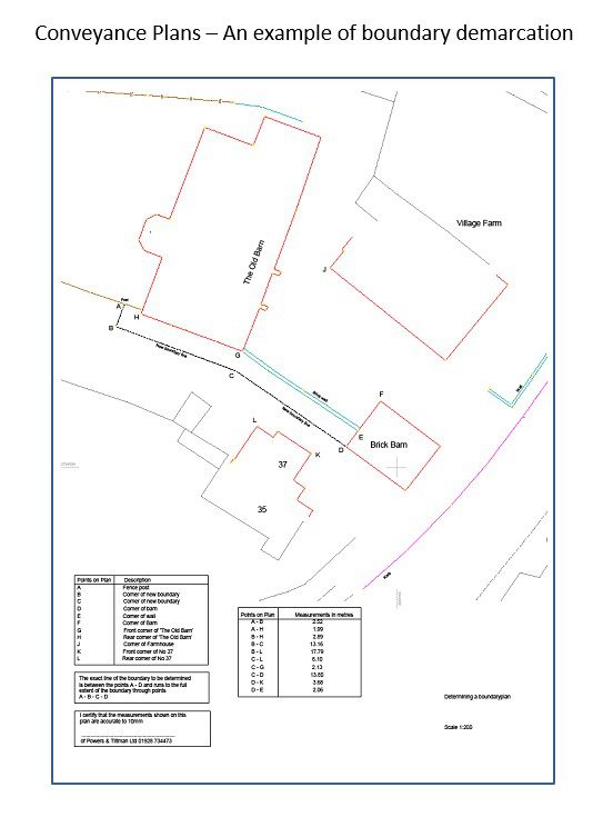
- Boundary drawings showing physical occupation and relevant site evidence
- Overlay comparison with Land Registry title plans and other supplied plans
- Technical report explaining the evidence reviewed and the surveyor’s interpretation
- CAD and PDF outputs suitable for legal teams and property records
- Photographic schedule where helpful
Why Choose Powers?
Powers combines accurate site measurement with practical reporting that non-surveyors can actually use.
Operating since 1973, we are a measured survey specialist serving projects across the UK, with UKAS-accredited management systems covering ISO 9001, ISO 45001 and ISO 14001.
Good legal support starts with dependable site data, clear drawings and disciplined documentation.
We are experienced in working with confidential and technically sensitive projects, so solicitors and clients receive a survey package that is measured properly, explained properly and prepared with scrutiny in mind.
Our Services
Topographic Land Surveys
Measured Building Surveys
Underground Utility Detection Surveys
Site Engineering
Boundary Surveys
Geospatial Consulting & Support
Why Boundary Surveys from Powers?
Clear, accurate data is the foundation of confident decisions. Our approach ensures your survey works for your project – not the other way around.
Facts on the Ground, Not Guesswork from a Plan
The red edging on a Land Registry title plan shows a general boundary – not a legal line. We record what physically exists on site so decisions are based on measured evidence, not scaled assumptions.
Clarity Before Costs Escalate
Whether you’re facing a neighbour dispute, a stalled transaction or a development near a title edge, accurate survey evidence at the outset reduces the risk of pursuing the wrong strategy.
From Early Investigation to Court-Ready Reporting
Our boundary services cover the full range — from initial measured surveys and title analysis through to CPR Part 35 expert witness reports. One practice carries the work through every stage.
Outputs Everyone Can Use
We deliver measured surveys, overlay drawings, title interpretation plans and technical reports in formats that work for solicitors, property professionals and land registration – not just surveyors.
50 Years of Proven Practice
UKAS-accredited ISO 9001, ISO 14001 and ISO 45001 systems, backed by UK-wide construction experience and an apprenticeship pipeline that keeps our technical standards moving forward.
Boundary Surveys in Action
Our boundary surveys support confident decisions across a wide range of projects. Explore how Powers’ data has helped clients move from uncertainty to clarity.



Supporting Surveys for Complete Site Understanding
Boundary surveys often form part of a wider survey strategy. Depending on your project, you may also need:
50 Years of Trusted Partnerships












Start Your Project With Certainty
Need a quote or some more information?
Call 01928 734 473 or send us a message via the form.
By submitting this form, I consent to receive emails from Powers as defined in the Privacy Policy.