
Measured building surveys – back to the drawing board
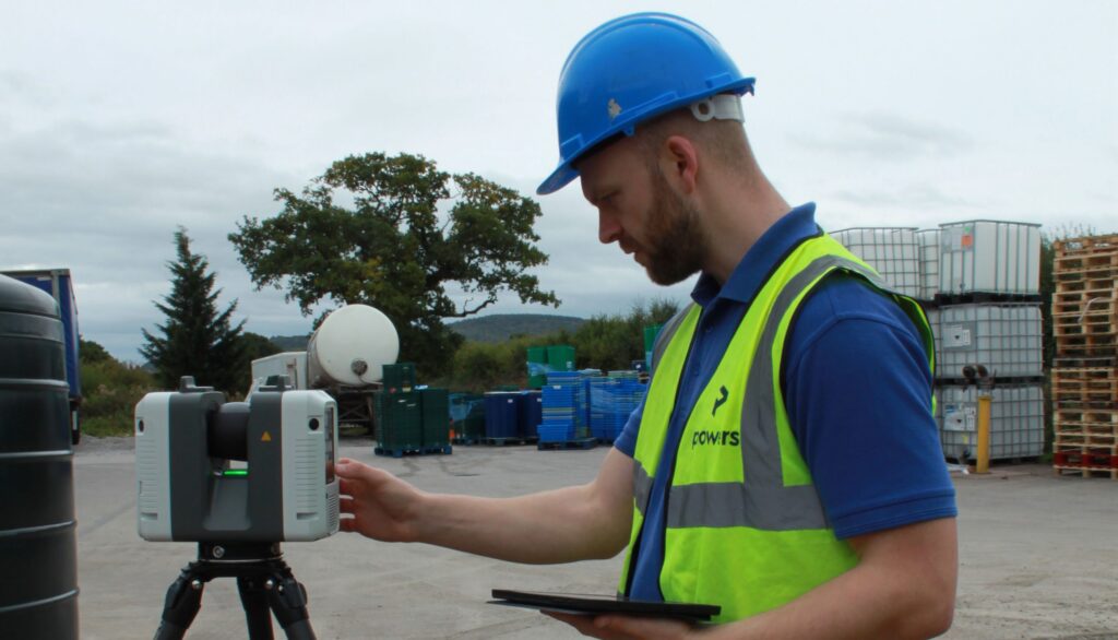
Time and place Measured building surveys are carried out using 3D laser scanners. The geospatial data gathered from the resulting point clouds is used to create digital 3D models or digital twins, elevations, floor plans and sections. This provides a snapshot of time and place in a structure’s lifecycle. They are an essential part of […]
Made to measure – what is a measured building survey?

Captured for posterity Measured building surveys of existing buildings are required by developers, planners and architects, who want to document what currently exists structurally. These plans illustrate all the structural elements and architectural features of a building. This will include external elevations of the building, i.e. how the building appears from the frontage and from […]
Using space wisely – surveying, car parks and EV innovation
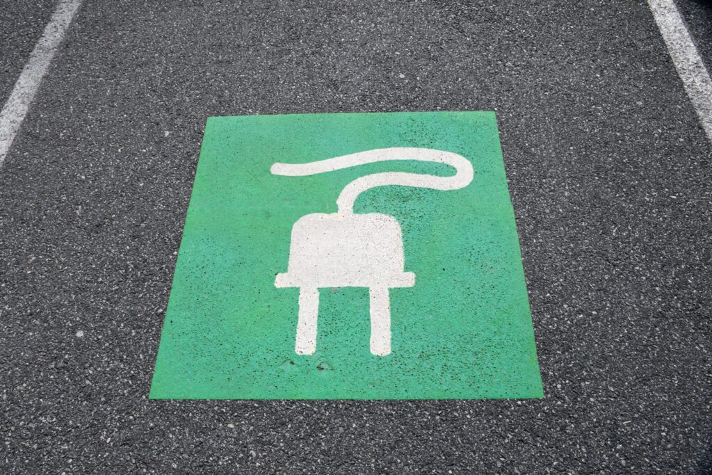
Points of contact One area, for instance, is the need for consideration being given to the ability to recharge vehicles, to facilitate long journeys and lengthy battery timespans. This has led to a great deal of investment in infrastructure projects that have allowed far greater use of these vehicles on a national scale. EVs are […]
Why do I need a Boundary Survey?
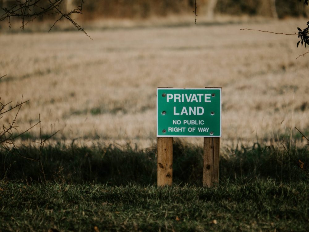
Degrees of accuracy It can be useful in unclear cases to have a Boundary Survey carried out. If you are involved in a boundary dispute, for example, having irrefutable proof will that be recognised legally will go a long way to proving your case. Boundary disputes can be messy affairs that can be very difficult […]
Legends and monsters: understanding the importance of maps
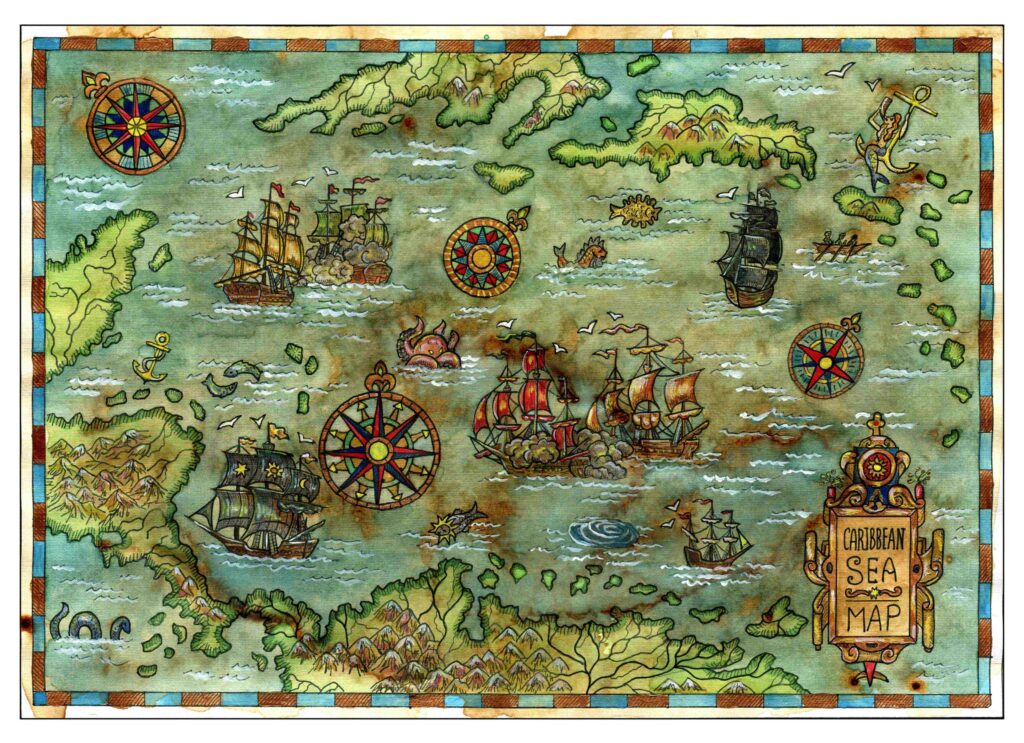
Charting through history: revolutionising the process and accuracy of mapmaking Mapmaking, or cartography, has been around ever since humans walked the Earth – and needed to record features and routes through local terrain. There’s no definitive answer as to who invented mapmaking, as prehistoric examples have been present in many cultures, from the earliest examples […]
On top of it: discovering the benefits of topographical surveys
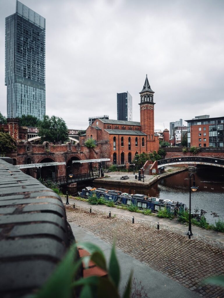
Why do you need a topographical survey? A topographical survey, often referred to as a topo, can be used for many reasons. It enables our clients to understand the boundaries of their land, the different ground levels across the site and the constraints and opportunities within it, as well as the impact of neighbouring structures. […]
Planning ahead – What’s your 10-year Estate Strategy?
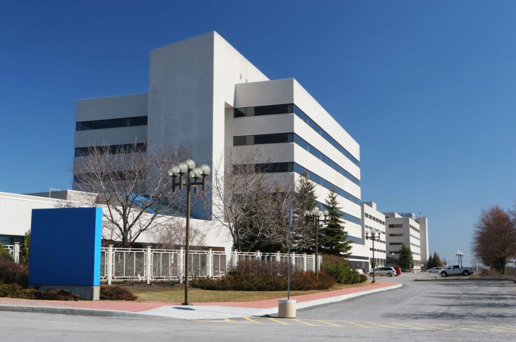
For newly built structures, this plan can be engendered at the design stage, with provision made for a maintenance schedule, for example. Having a digital plan of the building from its inception can help it be better managed from the outset and ensure that all aspects of its construction remain in optimum condition. Such forward […]
Everything starts with a measurement: the role of geospatial surveys in the built environment
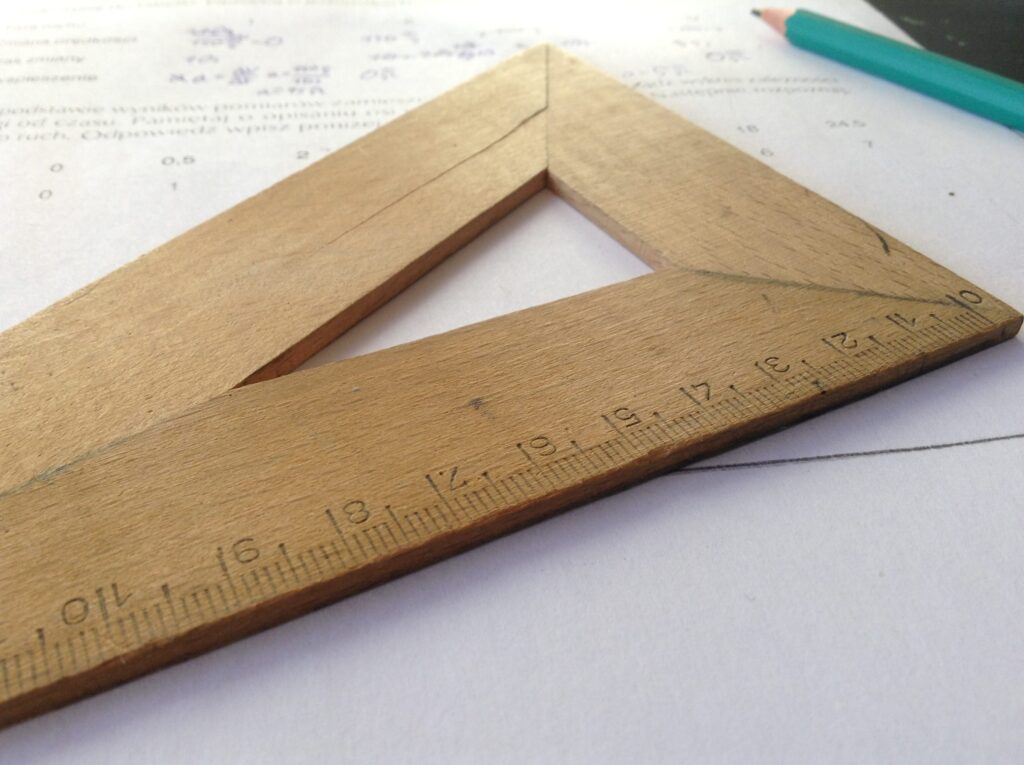
Unless this is your profession or area of interest, there is a good chance you won’t have considered this. However, without well-educated and experienced surveyors, the consequences of inaccurate or no land surveys can be significant. Inaccurate measurements can lead to boundary disputes, costly errors, such as buildings being built in the wrong position or […]
Powers carries out topographical survey on site of new commemorative woodland
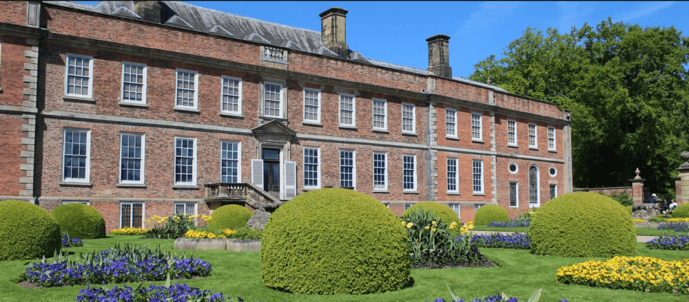
Project: Commemorative Woodland Site, Erddig Location: Erddig Hall, Wrexham Client: National Trust Principal contractor: Natural Resources Wales Powers involvement: Topographical survey of fields for redevelopment into a woodland site Project completion: June 2022 The project Owned by The National Trust, Erddig Hall has a long and vibrant history. It is a well-visited tourist destination, which […]
Looking at the Big Picture
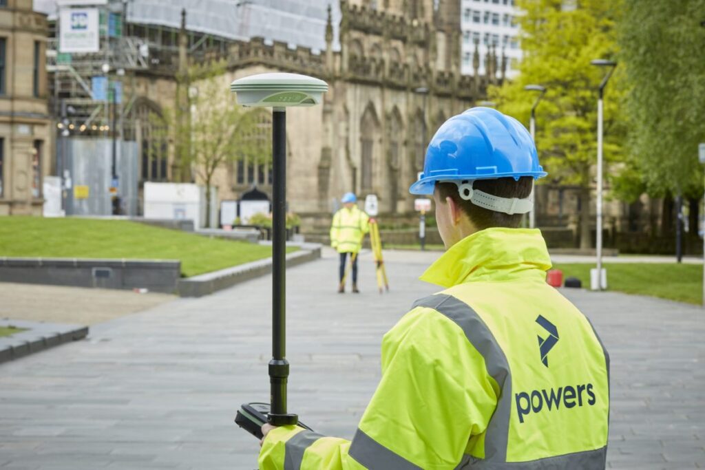
We can carry out these surveys for a number of reasons, from an evaluation of the plot’s worth, for a feasibility study (is a site worth developing or will it get planning), to a full-scale design or structural development before planning or construction begins on a project. These surveys can detail all kinds of […]