
Topographical surveys: why are they so important?
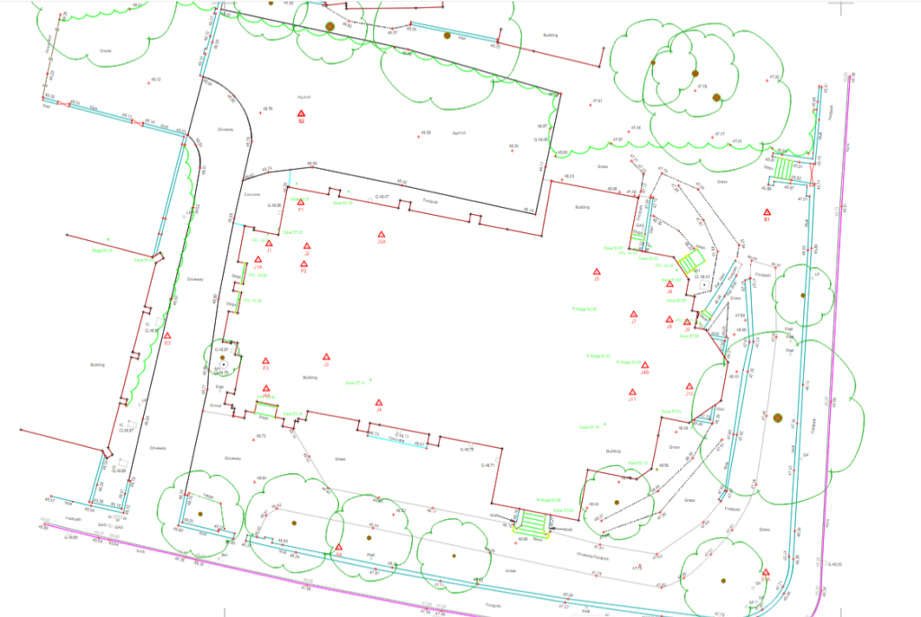
The first step to any construction project is a topographical survey outlining the ground levels, features, and critical measurements of a piece of land for development. It may also include an underground services detection survey so that everyone is aware of any utilities or other obstructions that lie within your site boundary. Although this would […]
Surveying a cemetery: why would one need to be surveyed?

How do you survey a cemetery? A cemetery (or graveyard) is surveyed in the same way as any other site. Depending on the specification of the client, a topographical survey would be conducted, along with an underground utility detection survey (utility mapping). The topographical survey would show the contours of the land and the features, […]
Unknown Terrain – getting a Topographic survey and underground utility detection survey
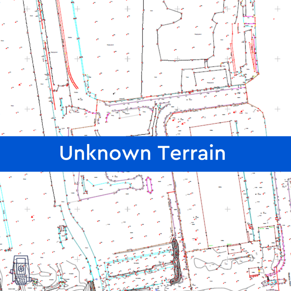
By assisting in the visualisation, measurement, and quantification of these sites, Powers can help reduce the unknown obstacles and their associated risks to your company before you make a full financial commitment, by providing you with a topographic survey or underground utility detection survey (utility mapping). Tell us what your needs are and our survey […]
Drone surveying and mapping

INSIGHTS Drone surveying and mapping Drone technology isn’t exactly the first thing that comes to mind when thinking of land surveying. However, with the further expansion of drone use and integration in the land surveying industry, we are starting to observe an increase in drone surveys that are expressly utilised for extensive topographic surveys, typically […]
What is an internal elevation drawing? Why do I need one?
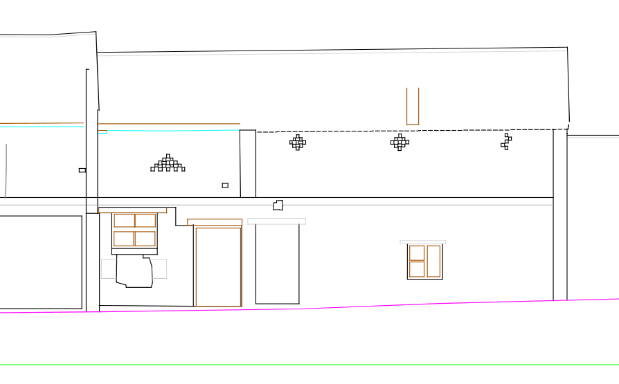
What is an internal elevation drawing? Elevation is a term used in the architectural and surveying world, to describe the orthographic (a 3D view done in 2D) projection of a room. The internal elevation shows the room’s details from a specific direction, requested by clients. These are drawn up in 2D images, which go from […]
Outsourcing Work to India – Should I be doing it?

India is one of the largest outsourcing countries in the world. It is popular among companies across the globe, but is it the right thing for your organisation to do? Outsourcing work to India Various businesses throughout the UK and the world, are outsourcing work to India. Some companies depend on outsourcing their work, while […]
Topographical surveys – making sense of your site
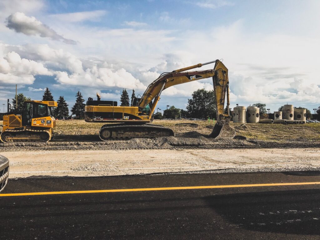
Topos or OS mapping? The purpose of topographical surveys, or topos, as they are often referred to, is to help create a visual representation of a building or plot of land intended for development. Topos provide an in-depth understanding of the building or land to be developed. Understanding what the topography looks like establishes what […]
On the edge: Why establishing boundary location is essential in determining ownership

The Land Registry office is the go-to authority when it comes to finding out about title deeds, land ownership and other land-related queries. The Land Registry’s Title Register holds data outlining a description of each UK property, who owns it, who the relevant mortgage lender is, and the price paid or stated value (if registered […]