
Viewpoints for architecture
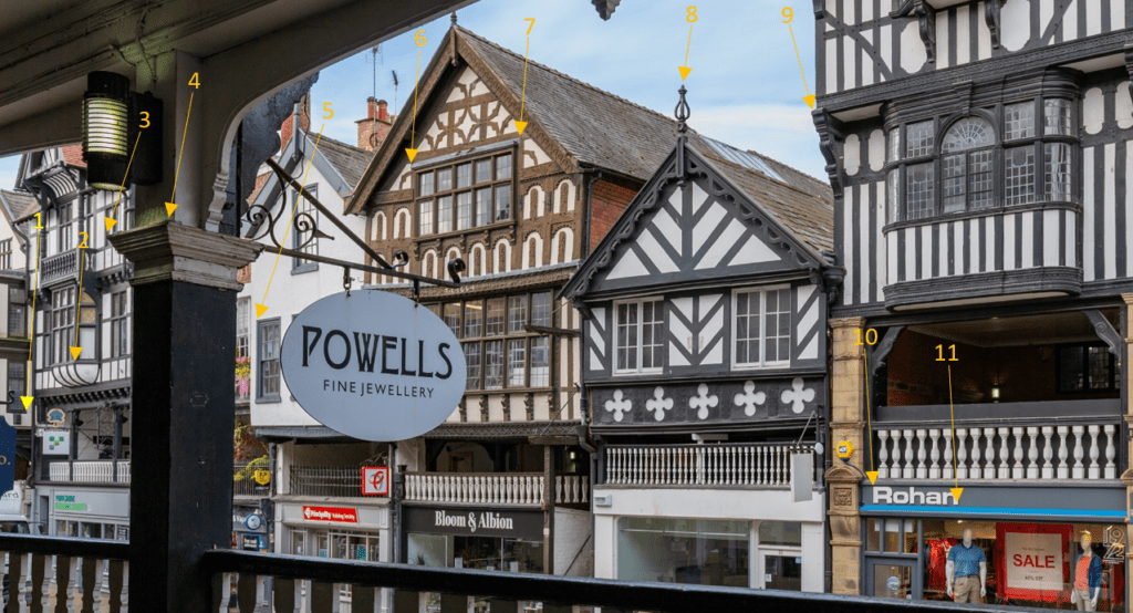
INSIGHTS What are viewpoints? Viewpoints are used by architects and planning authorities to improve their understanding of the impact a new building will have on the current landscape or skyline. By using accurate data, our clients can create realistic to-scale mock-up designs of a proposed building in its current urban setting. Viewpoints are a visual […]
Putting Surveyors Back at the Centre of Reality Capture

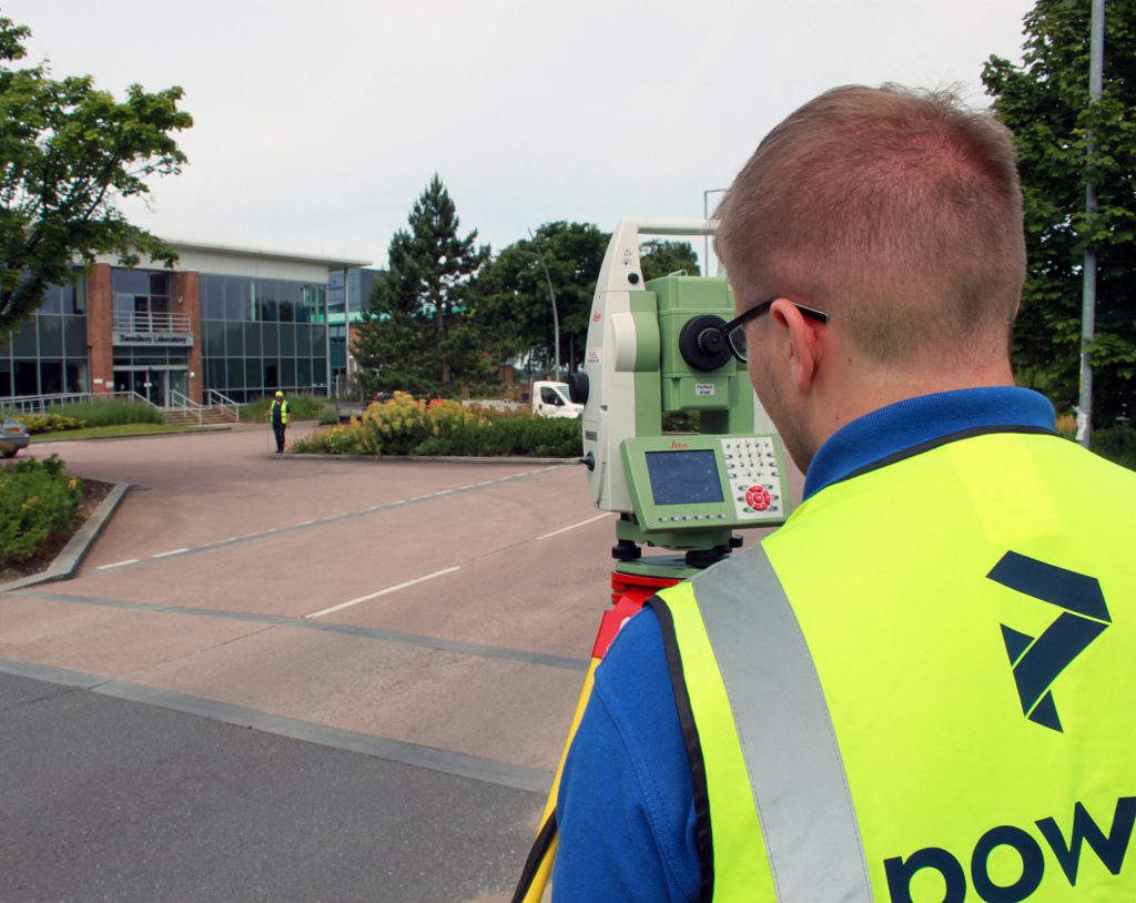
As reality capture technology becomes increasingly accessible, industry conversations have often focused on speed, automation and tools. While these advances bring clear benefits, they can sometimes overlook the professional expertise required to ensure accuracy, control and trust in geospatial data. A new joint article from The Survey Association and Leica Geosystems, Guardians of Precision: the […]
Depth of knowledge – the importance of data security when mapping underground utilities

Let’s continue our focus on underground utility detection surveys and their relationship with NUAR – the National Underground Asset Register. This is a UK government initiative that aims to deliver a digital map of the UK that covers all underground assets and will store the data on one digital platform in a secure and interactive manner by the end of 2025.
One version of the truth – Asset Registers
An asset register ensures that all estate management information is held in one place. Asset registers are inventories and collated data of owned assets. Their main users are local councils and authorities, and affiliated estate or land management companies. Essentially, the property asset register is a list of council-owned land and buildings. It also contains details of properties in which the council has an interest, such as academies and church schools, but doesn’t include housing stock properties.
NUAR – what is NUAR and what does it mean for underground utility detection?
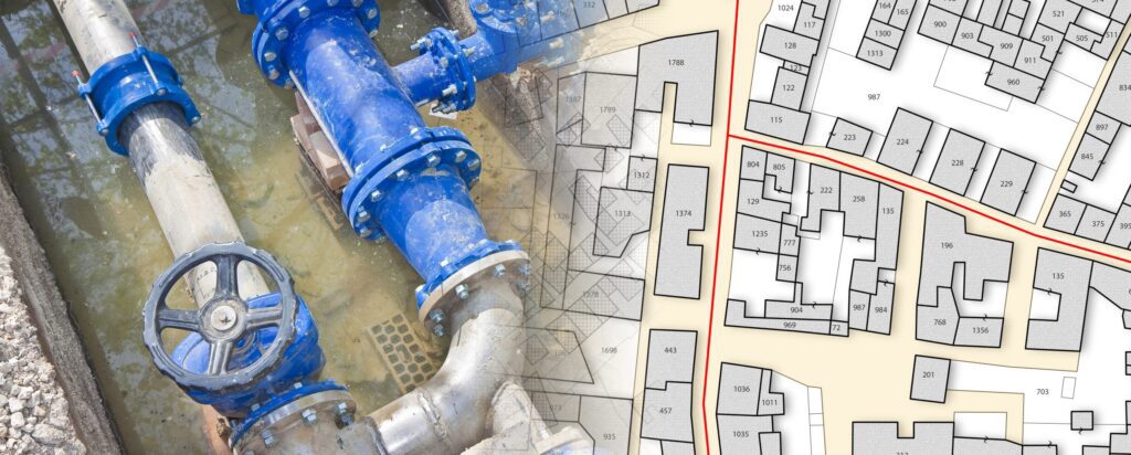
Underground assets The National Underground Asset Register (NUAR) is a government-led programme that is delivering a new digital map of our underground environment. A large proportion of our utilities are buried underground, as well as building and transport infrastructure, such as chambers or tunnels. This includes around four million kilometres of pipework, sewer runs, and […]
The Power of Social Value

Wellbeing and experience Personal wellbeing is being acknowledged more and more, both in the workplace and in society. Many things impact our wellbeing, which influence and shape our health and welfare, in our work lives and our personal ones. Personal experience is an important part of our company’s social value goals and people are the ones […]
To infinity (and beyond): aerial drone surveys
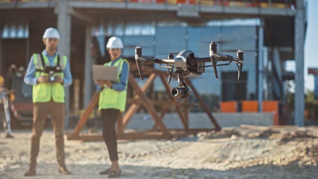
The sky’s the limit Drones are robotic, flying remote controlled craft fitted with cameras and onboard data gathering equipment. They are also called Unmanned Aerial Vehicles or UAVs. Drone surveys can be useful for land surveying and cartography, urban planning and development, construction and planning, environmental studies and research, and volumetric measurement. They’re an excellent […]
Defining the constraints: Surveys for guidance reports
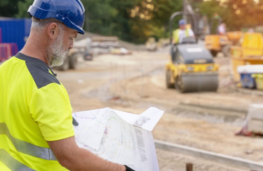
Identifying constraints Constraints are any features that can influence the location of the project. Specific examples of constraints include existing infrastructure (such as roads, railways, underground services and access and egress issues), archaeological and heritage sites (including national monuments), elevated topographic details (such as mountains and hills), bodies of water (like rivers and lakes) and […]
CCTV drainage surveys – exploring and assessing beneath the surface
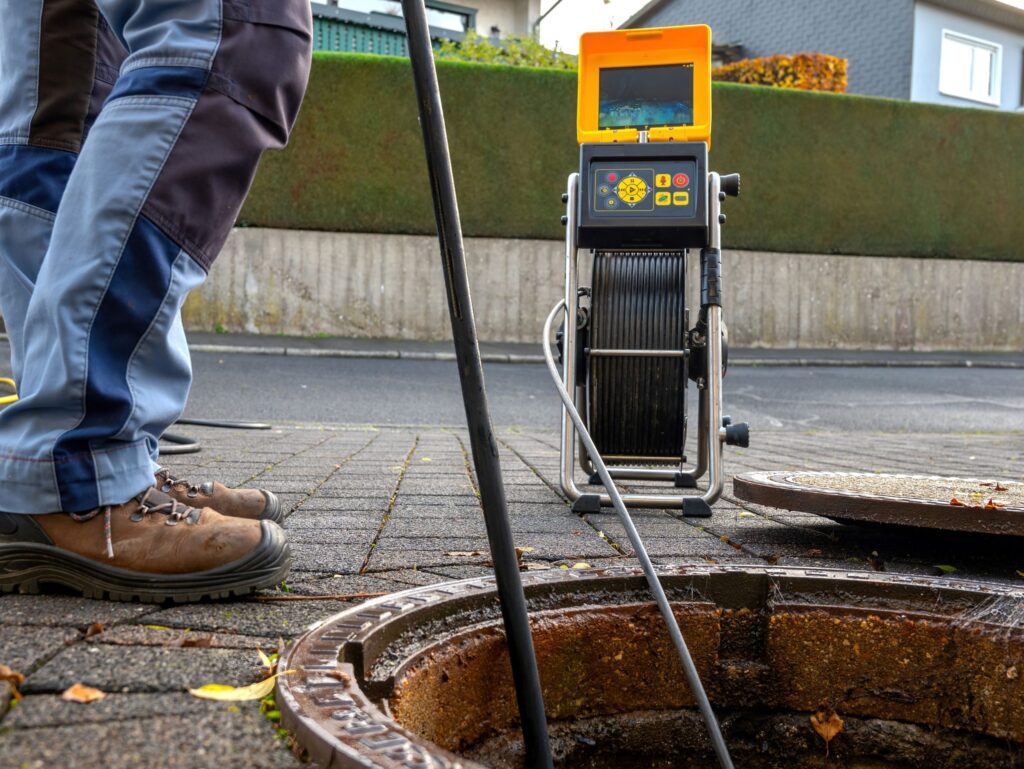
CCTV drainage surveys: an underground overview Usually, a CCTV drainage survey is done by sending a portable, navigable camera along the drain network. When CCTV surveys are requested, there’s usually an inkling of a problem. In most cases, the drain will be blocked or there will be some reason why the camera can’t get down […]
Innovation: Digital twins and measured building surveys
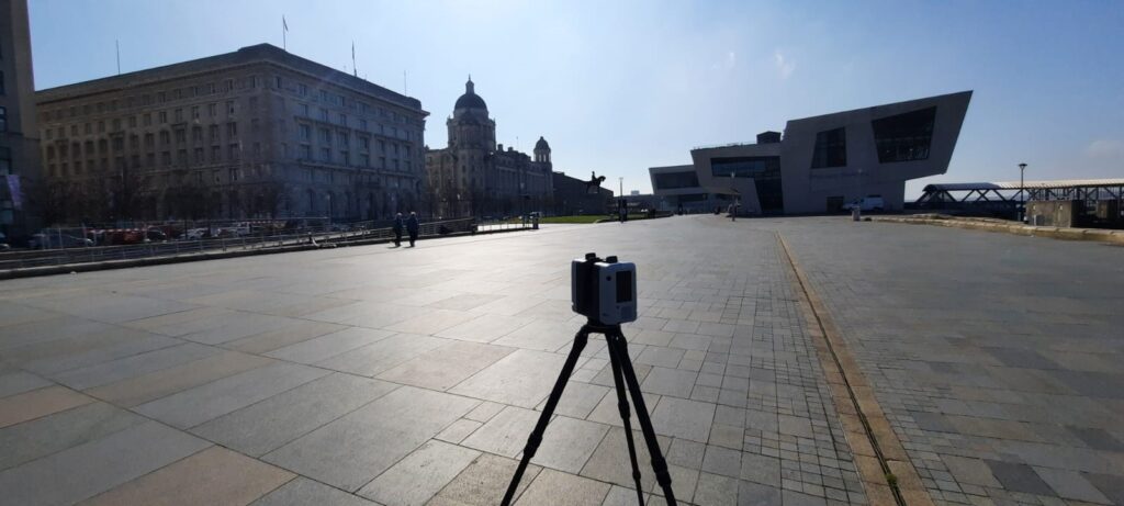
The here and now A full measured building survey is used to create a digital twin. This is done by plotting the dimensions and scope of a building or structure as they stand. Measured building surveys of existing buildings are required by developers, planners, architects and local authorities, who want to document what currently exists. […]