
Heading for the highway: the role of geospatial surveying in highways

Above and beyond Broadly, both the main disciplines of surveying are involved with the planning and setting out of highways across the UK. Above ground, our surveyors will carry out the setting out of the route, its levels and contours, while above and below ground, topographical surveys and underground utility surveys can provide vital information […]
Geospatial in the frame: Why a framework should include geospatial considerations
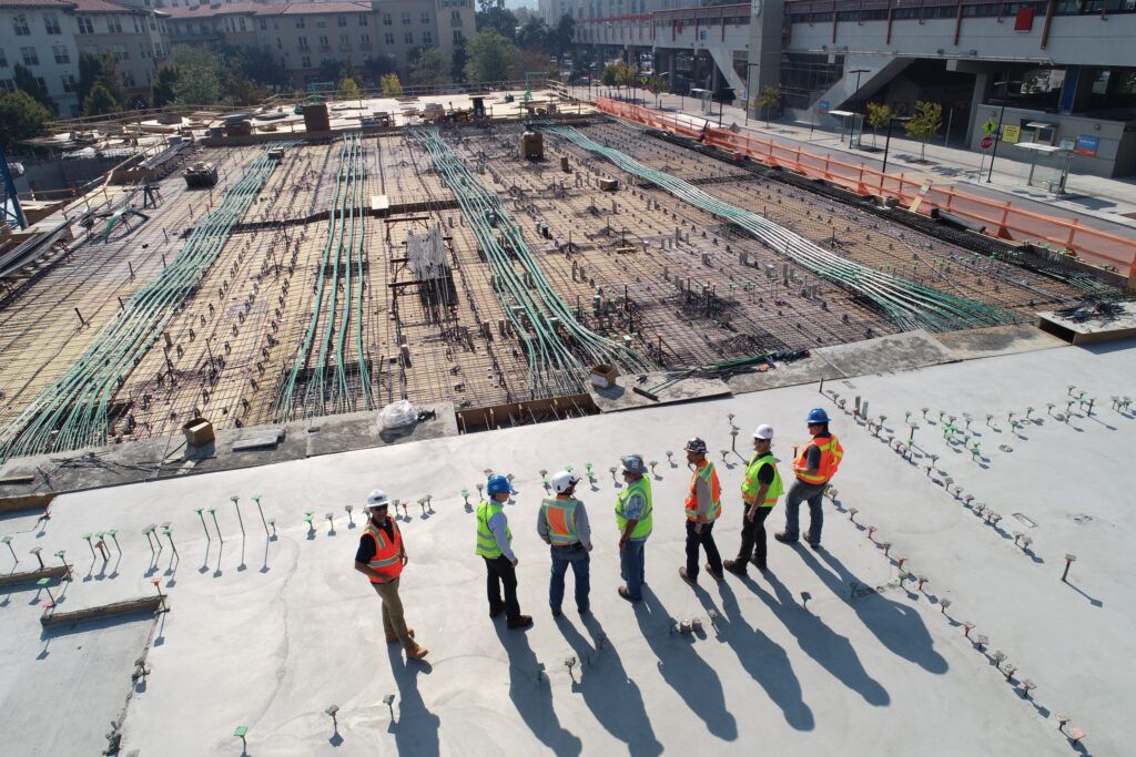
A framework will generally include preferred suppliers from civil engineers and constructors, mechanical and electrical engineers, architects, cost consultants, land agents and more. However, the profession invariably missing is geospatial or land surveyors. Why aren’t geospatial surveys listed as a requirement on infrastructure and construction frameworks? There may be numerous reasons why this is the […]
Redrawing the map: Why you won’t find measured survey ‘Lots’ on construction frameworks
Time and space The site data provided by a measured survey is invariably crucial to the success of the final construction – whether it’s a new commercial building, a highway or a residential scheme for private or public clients. However, many measured surveys are requested at the last minute, even though they are an integral […]
Everything starts with a measurement: the role of geospatial surveys in the built environment
Unless this is your profession or area of interest, there is a good chance you won’t have considered this. However, without well-educated and experienced surveyors, the consequences of inaccurate or no land surveys can be significant. Inaccurate measurements can lead to boundary disputes, costly errors, such as buildings being built in the wrong position or […]
Risky business – making decisions on old data
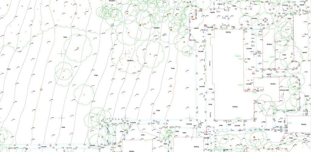
One of the big advantages of digital surveying is that information can be updated and amended at the touch of a button. This can be advantageous when planning a project and also during the construction phase too. In this blog, we’re going to look at why it’s important to carry out up-to-date topographical surveys at […]
Measuring the difference: looking at the difference between quality and price

Budgeting for projects Similarly, when it comes to creating budgets for civil and construction projects, you will be looking for cost effective and value for money solutions, not just the cheapest possible option. You need to be sure that your supplier is not cutting corners, as this is likely to lead to costly delays, or […]
Powers carries out topographical survey on site of new commemorative woodland
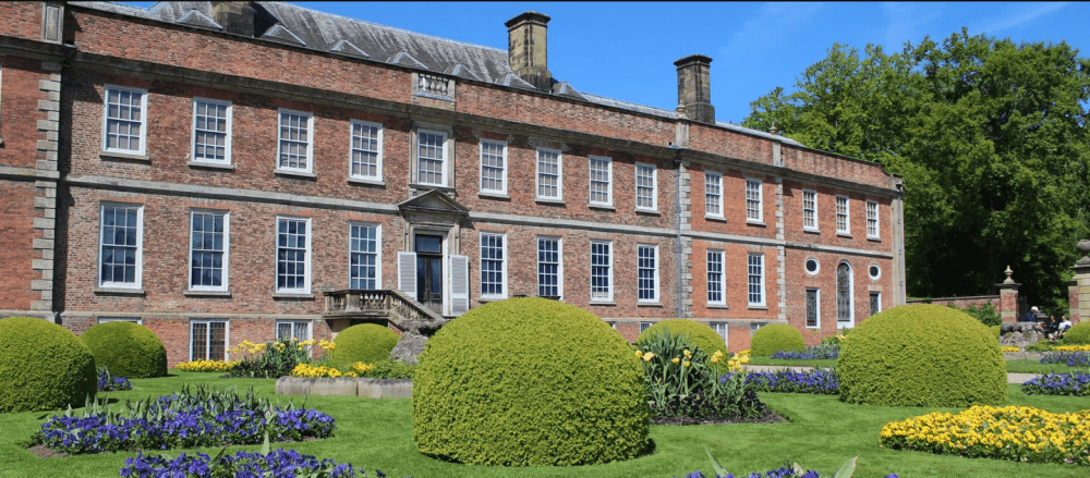
Project: Commemorative Woodland Site, Erddig Location: Erddig Hall, Wrexham Client: National Trust Principal contractor: Natural Resources Wales Powers involvement: Topographical survey of fields for redevelopment into a woodland site Project completion: June 2022 The project Owned by The National Trust, Erddig Hall has a long and vibrant history. It is a well-visited tourist destination, which […]
Looking at the Big Picture
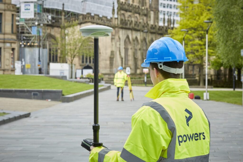
We can carry out these surveys for a number of reasons, from an evaluation of the plot’s worth, for a feasibility study (is a site worth developing or will it get planning), to a full-scale design or structural development before planning or construction begins on a project. These surveys can detail all kinds of […]
Could your project benefit from a desktop utility survey?
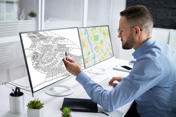
However, it is important to remember that a desktop search does not provide a full picture of what is actually present on site. In order to gain a better understanding of underground utilities without having to break ground, a level B underground utility detection survey can be carried out. If we can support you with […]
Working with architects, civil engineers, technical and project managers
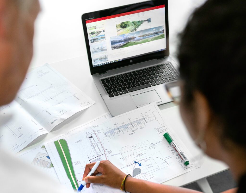
With our specialised skills, we’re able to provide accurate measurements, mapping of land, buildings and under the ground, providing survey drawings from which new construction plans and projects can be brought to life. Our expertise as land surveyors means we’re able to identify potential geospatial risks, provide the necessary data for design and construction and […]