
Benefits of an as-built survey
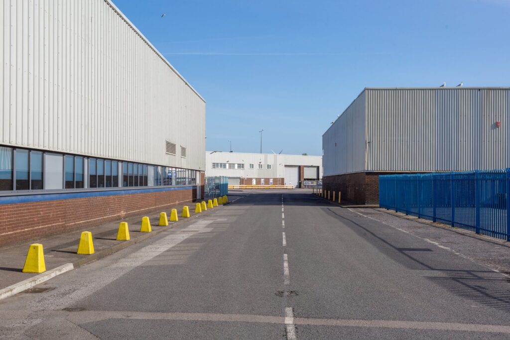
The finished article One of the aspects of our work that comes at the end of the construction project is an as-built survey. Also known as ‘as constructed’. This type of survey is usually produced when construction has been completed. They are used to illustrate where buildings, pavements, roads and other features have been built. […]
Drone surveying VS topographical surveys
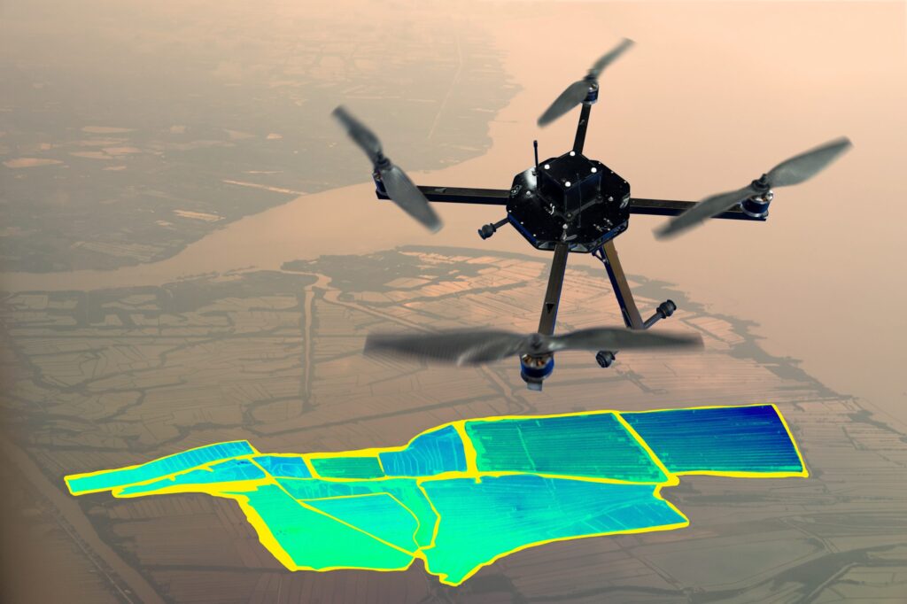
What is drone surveying? The method of gathering data from an airborne vantage point is drone surveying. By using a high-resolution image, the photos can be stitched together. These images each carry a set of 3D coordinates, which enables further processing to assemble them into a sketch. Autonomous drone mapping is the use of a […]
The importance of innovation in surveying

The price of progress Surveying has evolved over centuries, but the basics of trigonometry, levels and points have remained constants in some form or another. They have been honed and developed, but the end results – such as the creation of new structures, the collection of data and the generation of topographical or underground surveys […]
A few ground rules on Underground Utilities Surveys
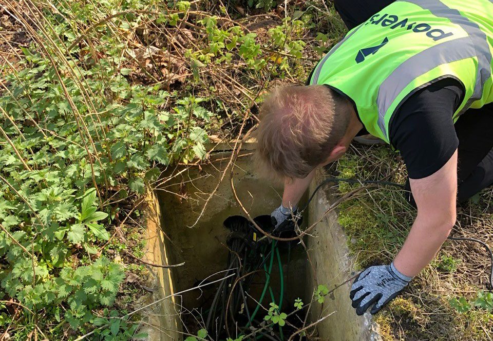
Why do I need an Underground Utilities Survey? You’ll most likely need an underground utilities survey if you are looking at developing a site for construction. It doesn’t matter if a site has been built on before – a brownfield site – or if it is undeveloped prior to the project – a greenfield site. […]
Why do I need a Boundary Survey?
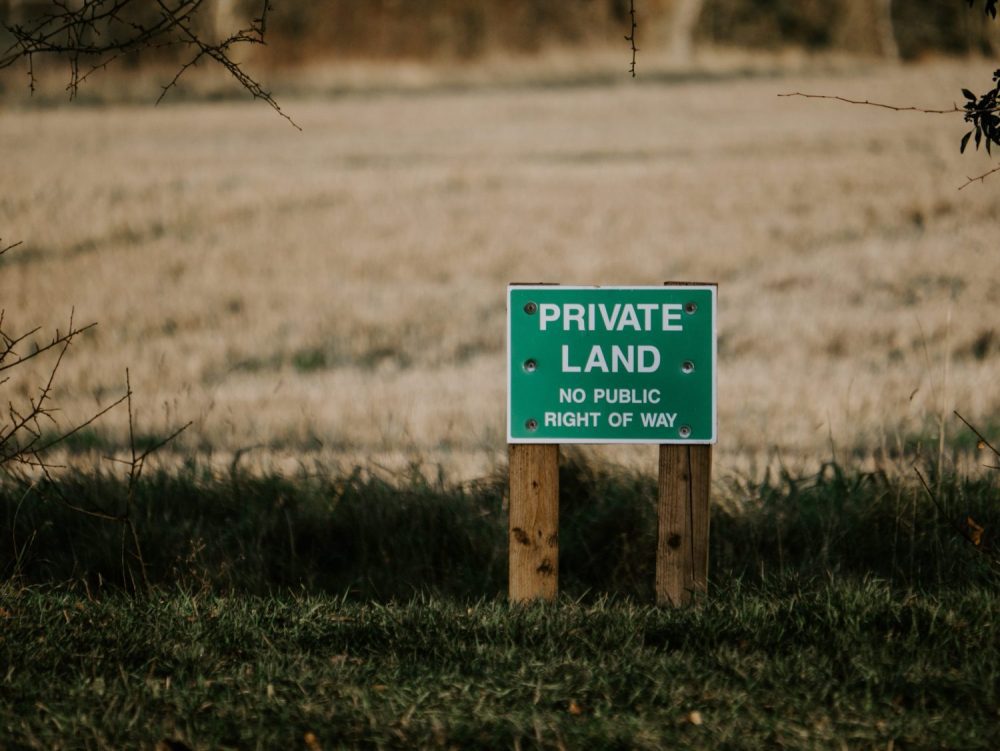
Degrees of accuracy It can be useful in unclear cases to have a Boundary Survey carried out. If you are involved in a boundary dispute, for example, having irrefutable proof will that be recognised legally will go a long way to proving your case. Boundary disputes can be messy affairs that can be very difficult […]
Legends and monsters: understanding the importance of maps
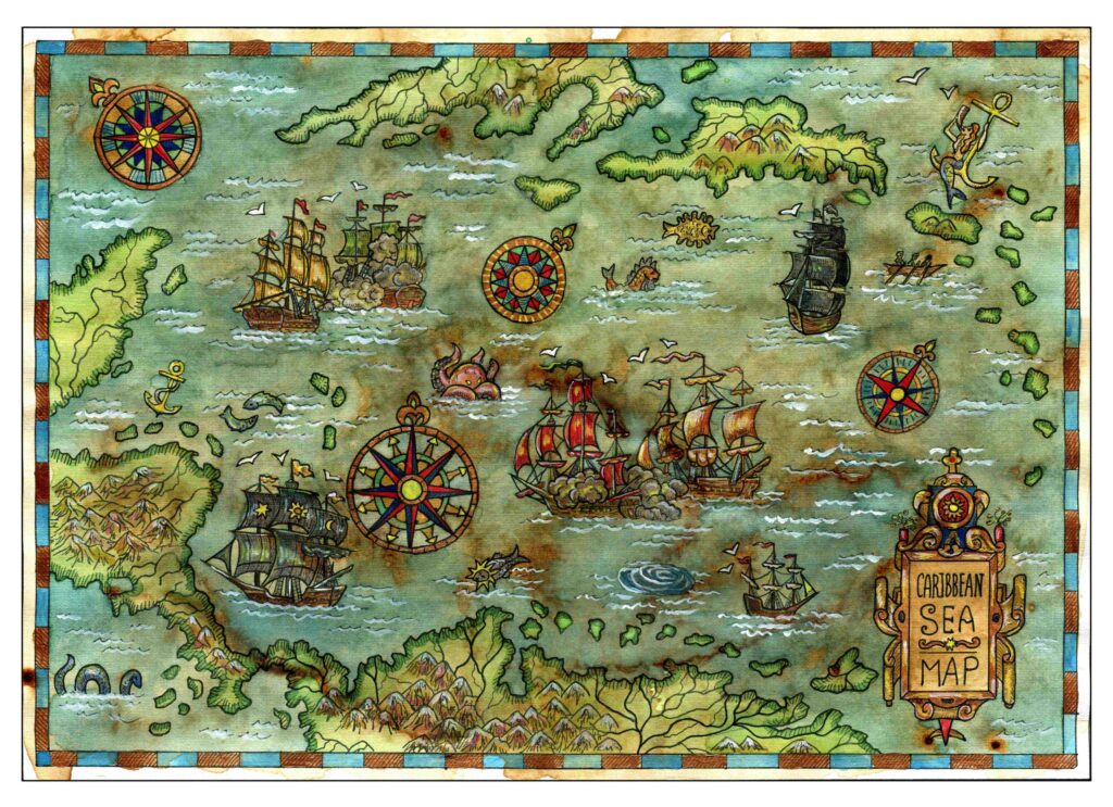
Charting through history: revolutionising the process and accuracy of mapmaking Mapmaking, or cartography, has been around ever since humans walked the Earth – and needed to record features and routes through local terrain. There’s no definitive answer as to who invented mapmaking, as prehistoric examples have been present in many cultures, from the earliest examples […]
On top of it: discovering the benefits of topographical surveys
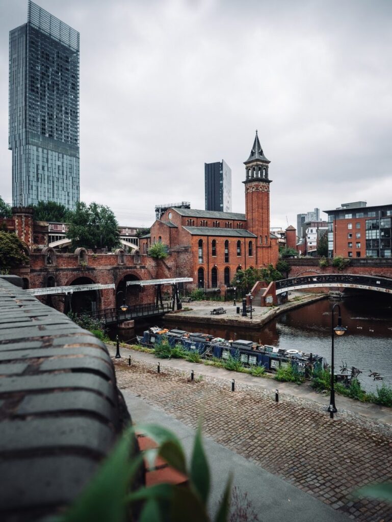
Why do you need a topographical survey? A topographical survey, often referred to as a topo, can be used for many reasons. It enables our clients to understand the boundaries of their land, the different ground levels across the site and the constraints and opportunities within it, as well as the impact of neighbouring structures. […]
Planning ahead – What’s your 10-year Estate Strategy?

For newly built structures, this plan can be engendered at the design stage, with provision made for a maintenance schedule, for example. Having a digital plan of the building from its inception can help it be better managed from the outset and ensure that all aspects of its construction remain in optimum condition. Such forward […]
Dual purpose – what is a Digital Twin?

Digital twin technology can be used in all kinds of different industries and situations, and is particularly useful in the construction industry. A digital twin is a digital representation of an intended or an actual real-world physical product, system, or process – this is its physical twin. The digital twin serves as an indistinguishable counterpart […]
The future of surveying

According to Caitlin Ballard, international policy adviser at the Geospatial Commission: “Location is a thread that allows us to connect different datasets together to make them more useful. Geospatial technology is going to be increasingly embedded in our digital lives. Some commentators have recently coined the phrase ‘geoverse’ to articulate the critical role location data […]