
Measured building surveys – back to the drawing board
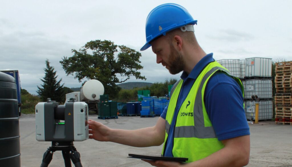
Time and place Measured building surveys are carried out using 3D laser scanners. The geospatial data gathered from the resulting point clouds is used to create digital 3D models or digital twins, elevations, floor plans and sections. This provides a snapshot of time and place in a structure’s lifecycle. They are an essential part of […]
Made to measure – what is a measured building survey?
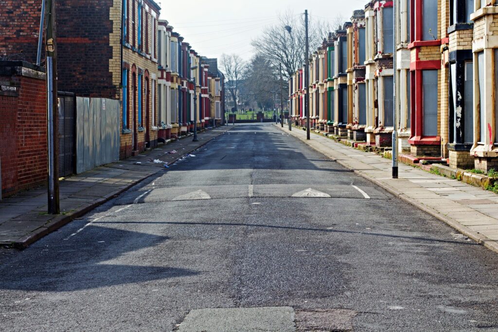
Captured for posterity Measured building surveys of existing buildings are required by developers, planners and architects, who want to document what currently exists structurally. These plans illustrate all the structural elements and architectural features of a building. This will include external elevations of the building, i.e. how the building appears from the frontage and from […]
Apprenticeships: Surveying your future direction
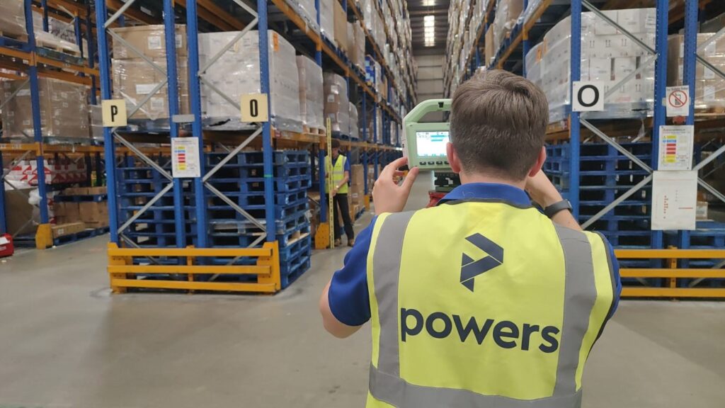
Skills for life One avenue into the profession is apprenticeships and National Apprenticeship Week (NAW) is a great vehicle for highlighting a multitude of careers to prospective candidates. This year’s event runs from 5-11 February and is the 17th annual celebration of apprenticeships. The week brings together everyone who is passionate about apprenticeships and celebrates […]
What are UU surveys and why are they important?
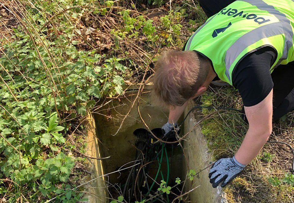
Into the unknown While surface topographical surveys will map what can be seen above ground, ground penetrating radar (GPR) is used to identify and pinpoint what is hidden from sight and buried underground. You’ll usually be looking at developing a site if you carry out an underground survey, but they can also be used for […]
A level playing field – specifications and certifications

Specification vs certification Specification means we’ll work to a client’s spec, which can be tailored accordingly, simplified or spec’d up. A specification working to a RICS Code of Measuring Practice (6th Edition) spec, for example, means that we will follow a certain specification for carrying out different types of surveys. Certification means we are audited […]
Benefits of an as-built survey
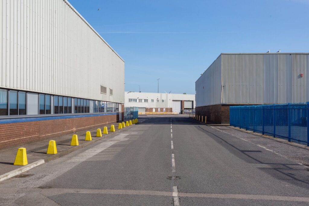
The finished article One of the aspects of our work that comes at the end of the construction project is an as-built survey. Also known as ‘as constructed’. This type of survey is usually produced when construction has been completed. They are used to illustrate where buildings, pavements, roads and other features have been built. […]
Drone surveying VS topographical surveys
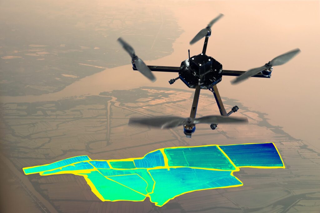
What is drone surveying? The method of gathering data from an airborne vantage point is drone surveying. By using a high-resolution image, the photos can be stitched together. These images each carry a set of 3D coordinates, which enables further processing to assemble them into a sketch. Autonomous drone mapping is the use of a […]
Modelling behaviour – Revit models
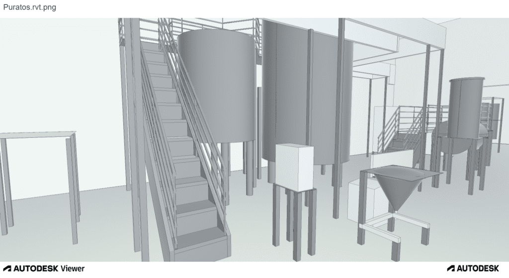
What is a Revit model? Revit is 3D building information modelling (BIM) software, widely used by architects, engineers, and contractors to create a digital single version of truth. This can then be used by all disciplines and trades throughout the project, to help complete their work. Revit was created to support BIM and not to […]
Legends and monsters: understanding the importance of maps
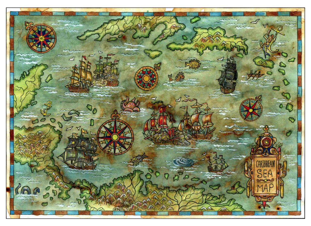
Charting through history: revolutionising the process and accuracy of mapmaking Mapmaking, or cartography, has been around ever since humans walked the Earth – and needed to record features and routes through local terrain. There’s no definitive answer as to who invented mapmaking, as prehistoric examples have been present in many cultures, from the earliest examples […]
Dual purpose – what is a Digital Twin?

Digital twin technology can be used in all kinds of different industries and situations, and is particularly useful in the construction industry. A digital twin is a digital representation of an intended or an actual real-world physical product, system, or process – this is its physical twin. The digital twin serves as an indistinguishable counterpart […]