
The future of surveying

According to Caitlin Ballard, international policy adviser at the Geospatial Commission: “Location is a thread that allows us to connect different datasets together to make them more useful. Geospatial technology is going to be increasingly embedded in our digital lives. Some commentators have recently coined the phrase ‘geoverse’ to articulate the critical role location data […]
Redrawing the map: Why you won’t find measured survey ‘Lots’ on construction frameworks
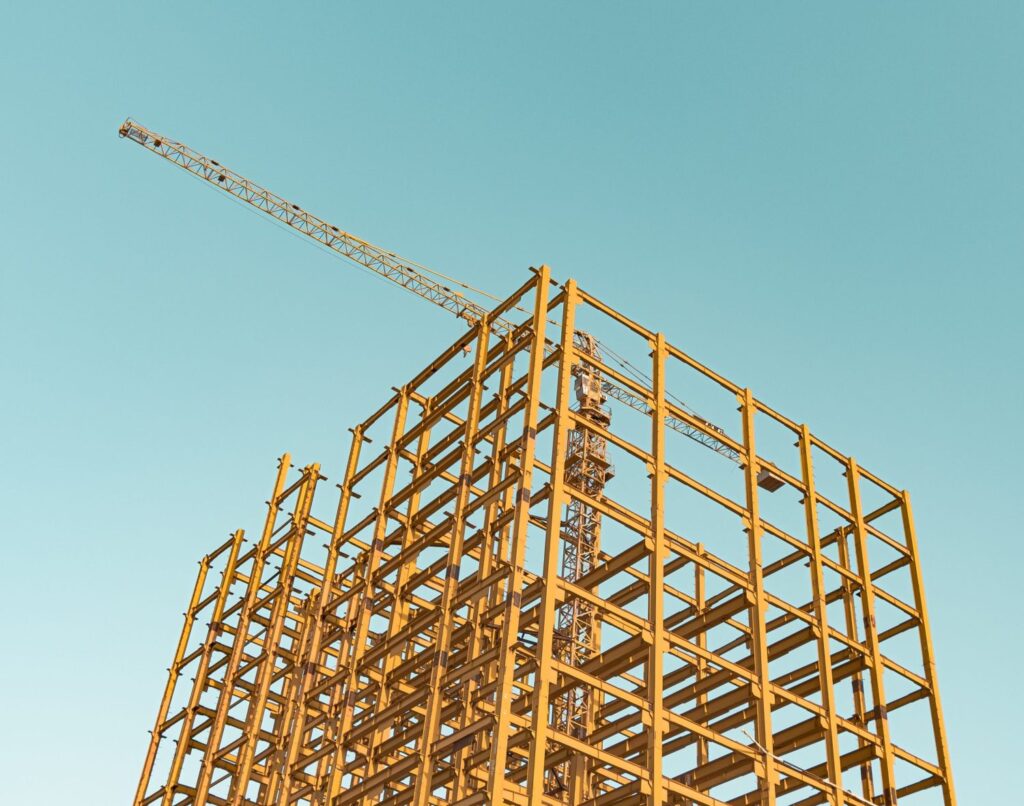
Time and space The site data provided by a measured survey is invariably crucial to the success of the final construction – whether it’s a new commercial building, a highway or a residential scheme for private or public clients. However, many measured surveys are requested at the last minute, even though they are an integral […]
Everything starts with a measurement: the role of geospatial surveys in the built environment
Unless this is your profession or area of interest, there is a good chance you won’t have considered this. However, without well-educated and experienced surveyors, the consequences of inaccurate or no land surveys can be significant. Inaccurate measurements can lead to boundary disputes, costly errors, such as buildings being built in the wrong position or […]
Looking at the Big Picture
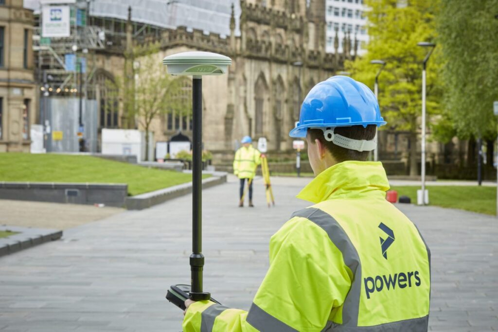
We can carry out these surveys for a number of reasons, from an evaluation of the plot’s worth, for a feasibility study (is a site worth developing or will it get planning), to a full-scale design or structural development before planning or construction begins on a project. These surveys can detail all kinds of […]
International day of Education

One of the most important aspects of this mentoring program is seeing how our senior surveyors interact with the apprentices. They are patient, kind and friendly, but they also don’t mince their words and tell it how it is when the occasion arises. They present a great example for our young staff members to follow. […]
Using drones for land surveying
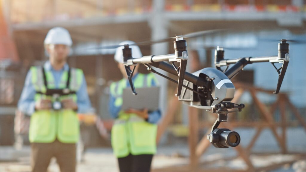
Drones are revolutionising the way we survey large pieces of land. With a drone, you can cover more ground in less time, and the aerial data collected can provide high-resolution images and detailed maps of the land. From infrastructure projects to land surveying, drones are making it easier to collect data quickly, accurately, and safely. […]
Why in-house processing is the way forward
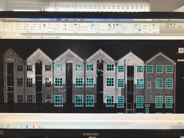
When it comes to working on a project, you want fast turnaround times, as time never seems to be on your side. Some survey companies will outsource their processing to other companies in other countries. This isn’t always a bad thing, as passing on geospatial data processing to an outsourced team means more people can […]
The greenest building is the one that already exists

This is a statement we at Powers stand firmly behind. We aim to be more sustainable and love working on forward-thinking projects to create a better environment. As magnificent as new buildings are, we need to think more sustainably. Some buildings are hundreds of years old and can be adapted or retrofitted to bring them […]
Greenbelt VS. Brownfield land: a comparison of the two land types for housing
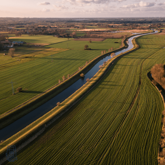
What is Green belt land? Green belt land acts as a divider between urban and rural areas. Green belt policy is a planning tool, and the goal of the green belt policy is to avoid urban sprawl by leaving land permanently open. The green belt land policy was introduced in 1947, by Town and Country […]
Topographical surveys: why are they so important?
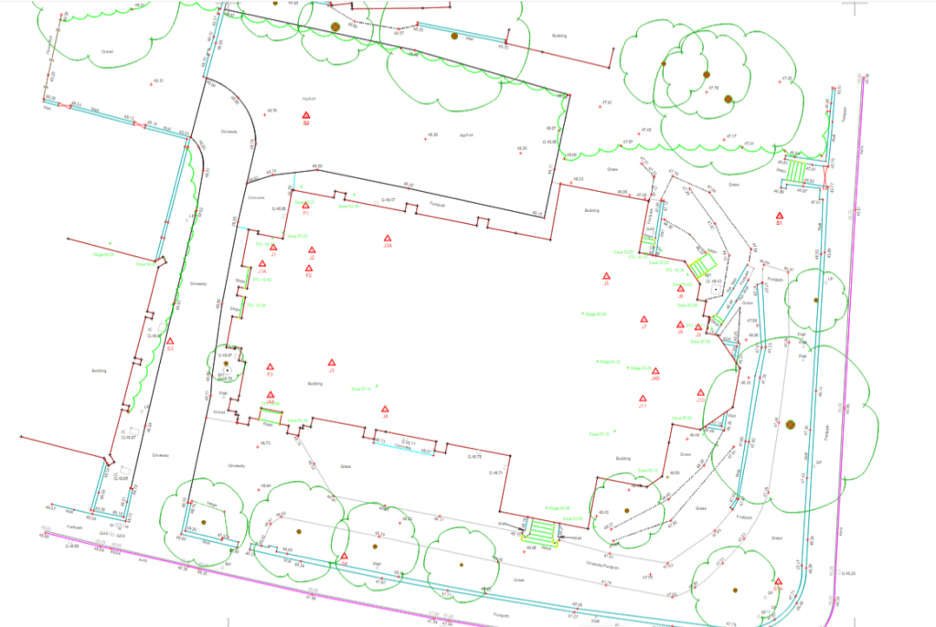
The first step to any construction project is a topographical survey outlining the ground levels, features, and critical measurements of a piece of land for development. It may also include an underground services detection survey so that everyone is aware of any utilities or other obstructions that lie within your site boundary. Although this would […]