
Looking at the Big Picture
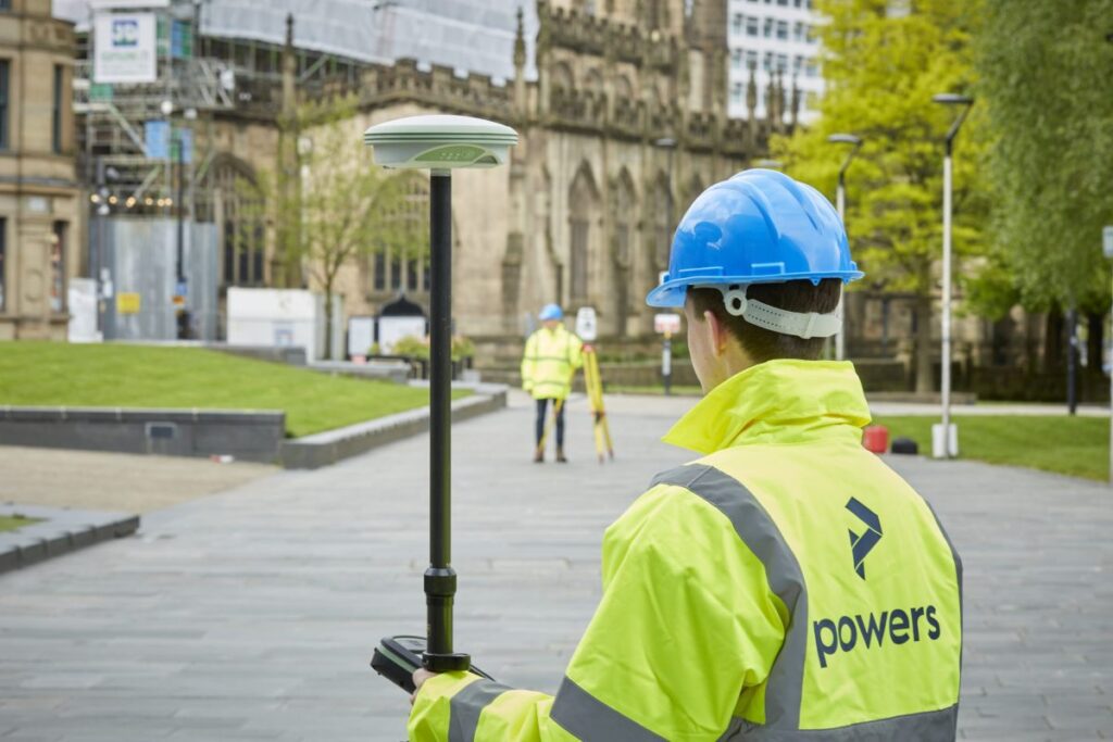
We can carry out these surveys for a number of reasons, from an evaluation of the plot’s worth, for a feasibility study (is a site worth developing or will it get planning), to a full-scale design or structural development before planning or construction begins on a project. These surveys can detail all kinds of […]
Could your project benefit from a desktop utility survey?
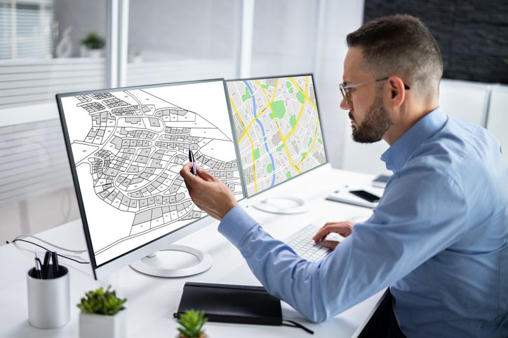
However, it is important to remember that a desktop search does not provide a full picture of what is actually present on site. In order to gain a better understanding of underground utilities without having to break ground, a level B underground utility detection survey can be carried out. If we can support you with […]
Working with architects, civil engineers, technical and project managers
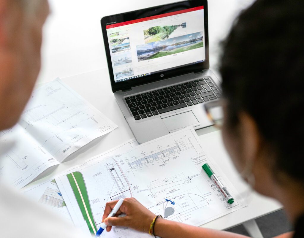
With our specialised skills, we’re able to provide accurate measurements, mapping of land, buildings and under the ground, providing survey drawings from which new construction plans and projects can be brought to life. Our expertise as land surveyors means we’re able to identify potential geospatial risks, provide the necessary data for design and construction and […]
Using drones for land surveying

Drones are revolutionising the way we survey large pieces of land. With a drone, you can cover more ground in less time, and the aerial data collected can provide high-resolution images and detailed maps of the land. From infrastructure projects to land surveying, drones are making it easier to collect data quickly, accurately, and safely. […]
Why in-house processing is the way forward
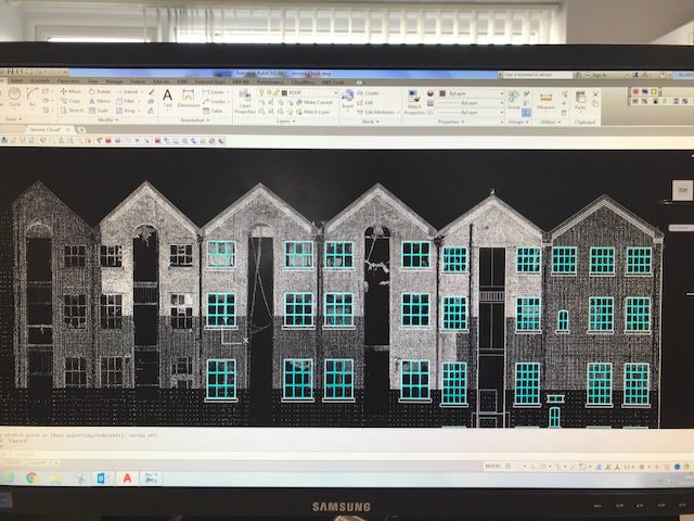
When it comes to working on a project, you want fast turnaround times, as time never seems to be on your side. Some survey companies will outsource their processing to other companies in other countries. This isn’t always a bad thing, as passing on geospatial data processing to an outsourced team means more people can […]
The greenest building is the one that already exists

This is a statement we at Powers stand firmly behind. We aim to be more sustainable and love working on forward-thinking projects to create a better environment. As magnificent as new buildings are, we need to think more sustainably. Some buildings are hundreds of years old and can be adapted or retrofitted to bring them […]
Greenbelt VS. Brownfield land: a comparison of the two land types for housing
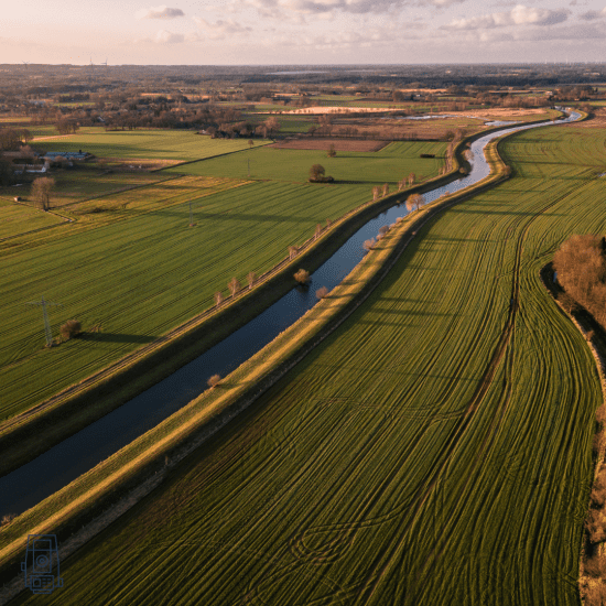
What is Green belt land? Green belt land acts as a divider between urban and rural areas. Green belt policy is a planning tool, and the goal of the green belt policy is to avoid urban sprawl by leaving land permanently open. The green belt land policy was introduced in 1947, by Town and Country […]
When is a topographic survey not a topographic survey?

Drone surveys are an excellent way to capture spatial data quickly and effectively, but the finished drawing isn’t always as detailed or specific as a topographical survey drawing. When it comes to revisiting a drawing, years down the line, it’s easy to forget it was not a topographic drawing, to begin with, and therefore one […]
Subsidence in commercial infrastructure

What is subsidence? Subsidence is the gradual sinking of the land’s surface, caused by natural processes or human activities such as mining, construction, or underground engineering work. It can also be caused by natural causes such as erosion, geological faults, sinkholes or even tree roots. But in the UK, it’s more often caused by human […]
Topographical surveys: why are they so important?
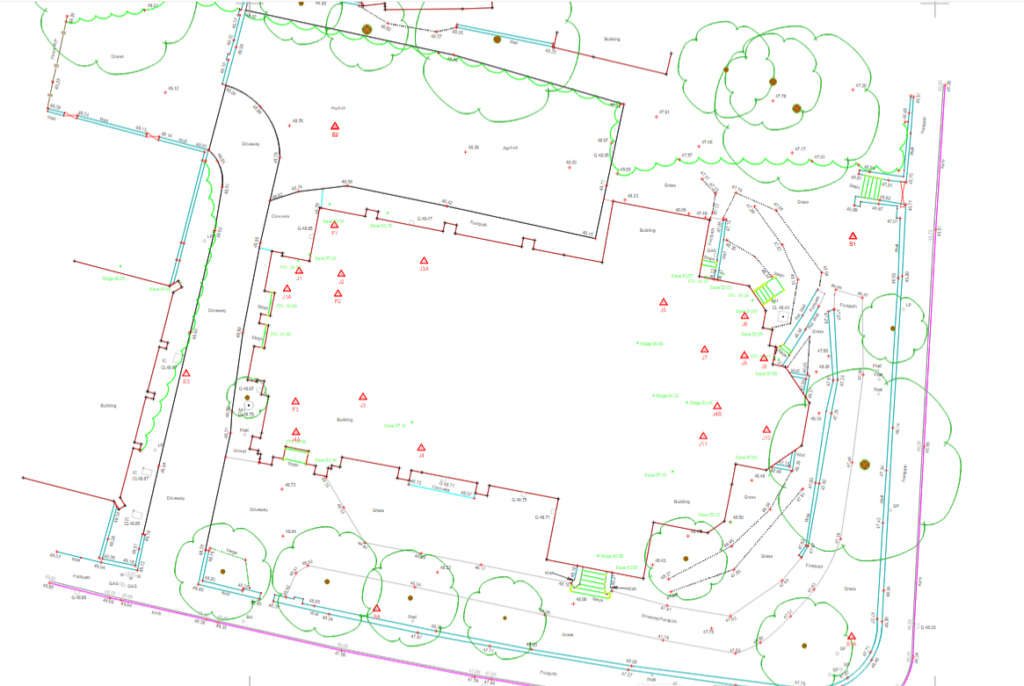
The first step to any construction project is a topographical survey outlining the ground levels, features, and critical measurements of a piece of land for development. It may also include an underground services detection survey so that everyone is aware of any utilities or other obstructions that lie within your site boundary. Although this would […]