
Complex site surveys

From setting out for construction to topographical surveys, the more complex the better we say. As our survey team are experts in their field, problem-solving is done in real-time on-site. We love working on complicated projects. For example, we can calculate coordinates for topographical surveys, make sure the roads are dotted, and assign points to […]
Using UAV surveys for Heritage Sites
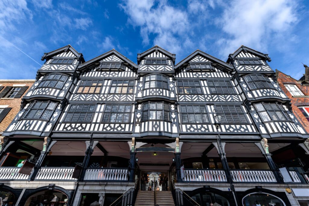
UAV surveys are ideal if you work in the heritage industry because they allow you to access large sites easily, without affecting the site and avoiding the need for scaffolding or MEWP (mobile elevation work platforms). Historic building surveys done with drones result in clear and precise aerial footage. They can provide a detailed measured […]
Our construction journey
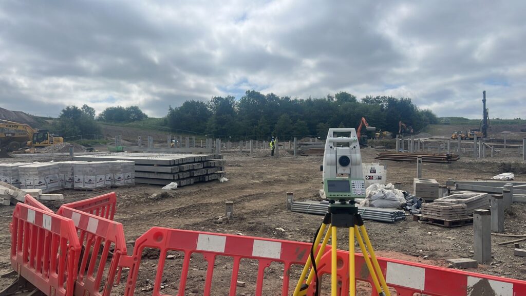
The services we provide will support you throughout your project. We will be with you from: Pre-planning Site preparation On-site construction Post construction What you may not know is, we can deliver all your survey needs throughout the construction journey, by providing you with one quote for multiple survey services. This increases value for money […]
PAS 128:2022 : what you need to know
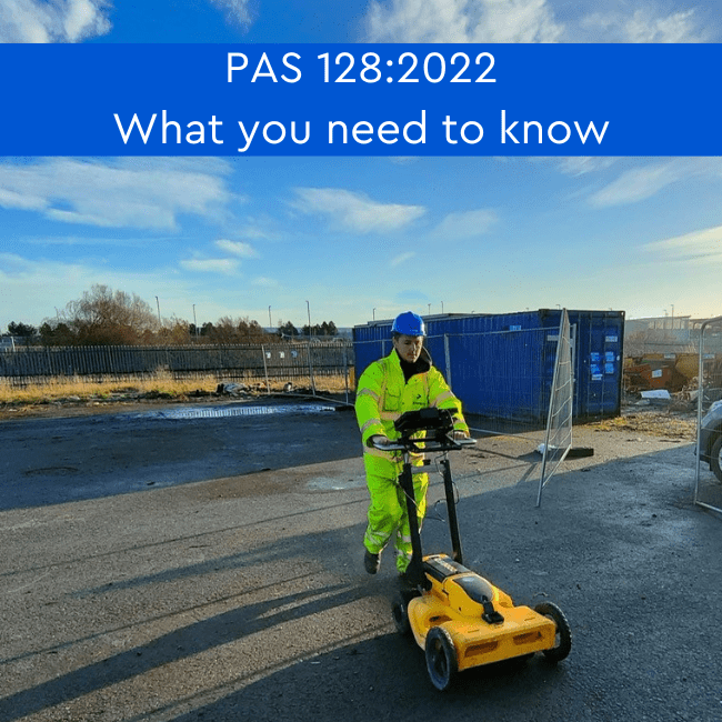
What is PAS 128:2022? The original PAS 128 specification was published in June 2014 and recent updates have resulted in PAS 128:2022 specification. Many don’t know what it entails and why being compliant with this specification is beneficial in planning and executing construction projects. PAS 128:2022 offers a reliable method for conducting underground utility detection […]
Development update
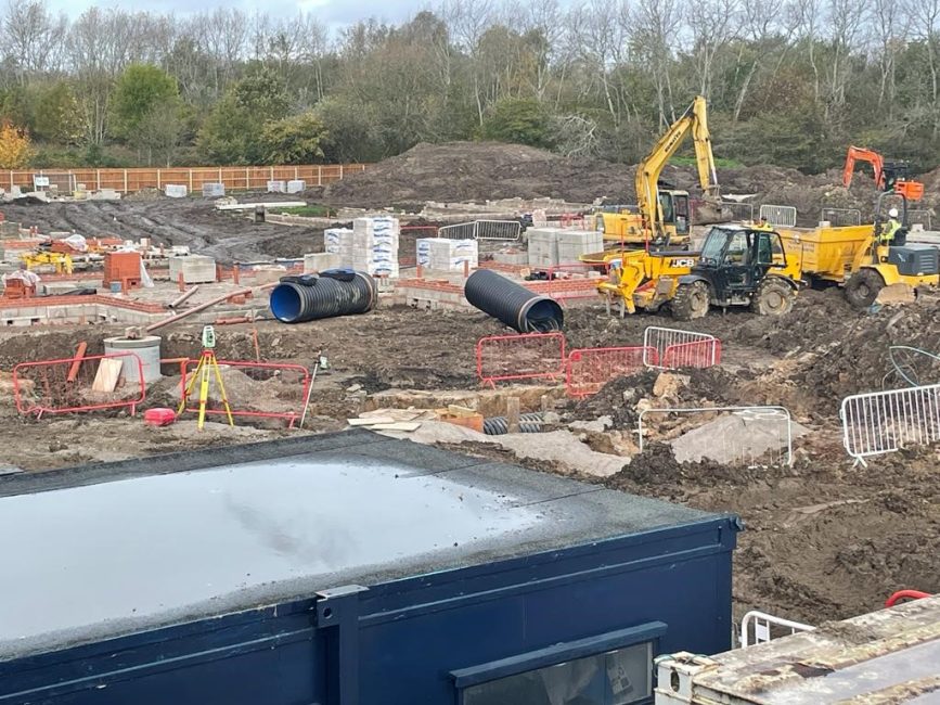
One of our senior site engineers has been appointed as the full-time setting out site engineer of the development for the duration of the construction project. The work currently being carried out on the Cringle Road Development is for foundations and footings, which are to DPC (damp proof course) level. This is expected to be […]
Surveying a cemetery: why would one need to be surveyed?

How do you survey a cemetery? A cemetery (or graveyard) is surveyed in the same way as any other site. Depending on the specification of the client, a topographical survey would be conducted, along with an underground utility detection survey (utility mapping). The topographical survey would show the contours of the land and the features, […]
Setting out for construction: fixing problems before they arise
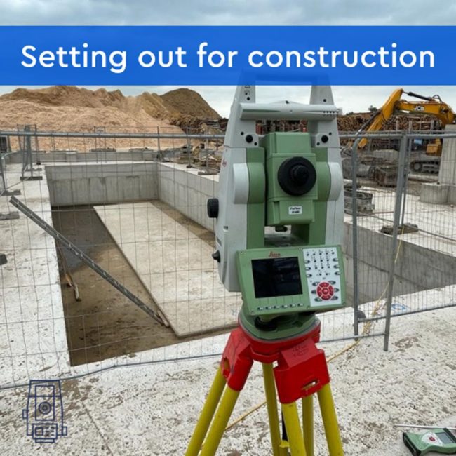
Having to go back and fix something because the correct procedures weren’t followed. Or having a construction project go over budget because there weren’t enough materials or mistakes were made that have to be rectified. Or even worse, not being able to get contractors on board because they’re swamped with other projects. Don’t worry—we’ve got […]
Why you need an up-to-date topographical survey
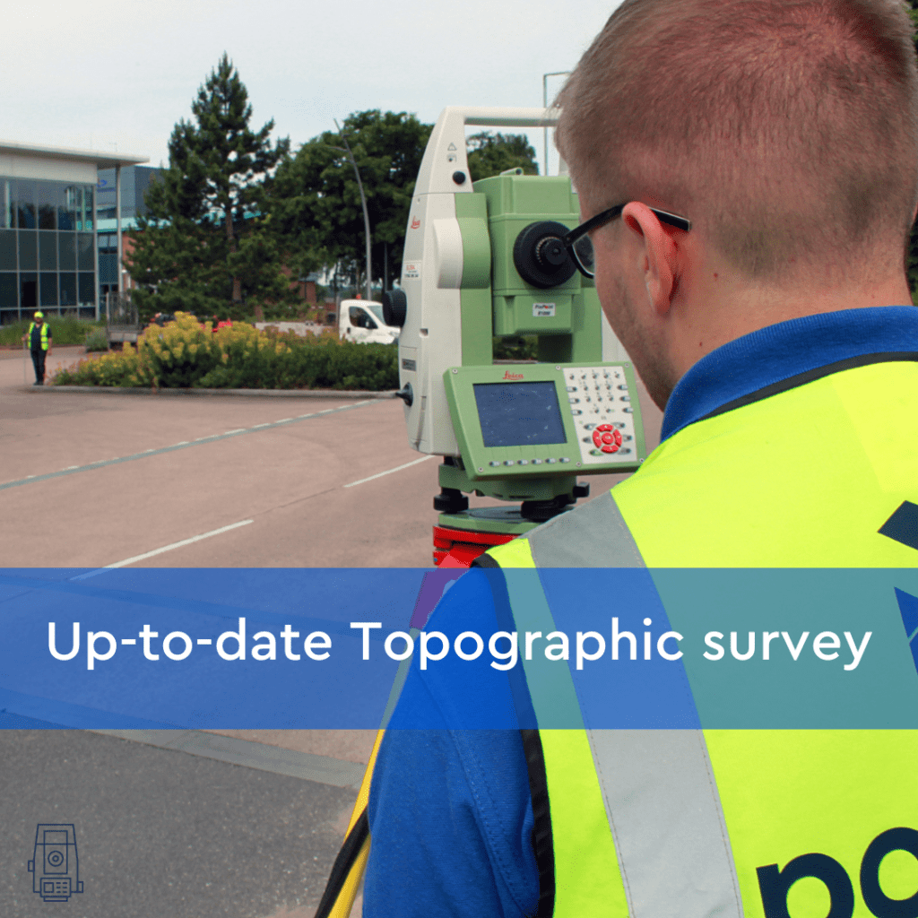
Site preparation for construction can change the terrain and features of the ground again and it is vital that all contractors have up-to-date topographical measurements before breaking ground in the construction of new buildings. An accurate topographic survey brings certainty to planned developments, by reducing the risk of errors and by giving an accurate plan […]
What is a deformation and movement monitoring survey?
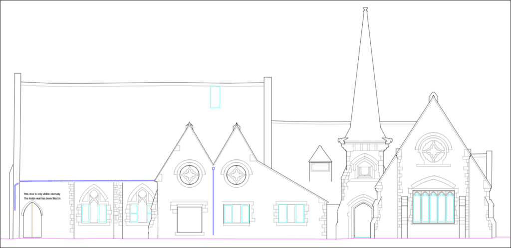
What is Deformation and Movement Monitoring? Deformation and movement monitoring (also referred to as a deformation survey) is a technique used to monitor the deformation of structures. Deformation and movement monitoring measures and tracks any alterations in the shape or dimensions of a building or retaining wall. It is used in civil engineering, construction, and […]
Measured building survey of the Houses of Parliament

Bonfire Night is known for the celebrations of Guy Fawkes and the Gunpowder Treason plot Bonfire Night is known for the celebrations of Guy Fawkes and the Gunpowder Treason plot. The British public watches fireworks displays and gathers around bonfires, even cooking jacket potatoes in the flames. The intentions of Bonfire Night have changed since […]