
3 Dangers of conducting topographical surveys in scrub

What is ‘scrub’? Scrub vegetation includes a range of forms from scattered bushes and trees to more dense thickets. It can be found in places where the ground has been disturbed near paths, on spoil heaps or where the ground has been cleared for development. Scrub is common in arid (areas of land with little […]
Unknown Terrain – getting a Topographic survey and underground utility detection survey
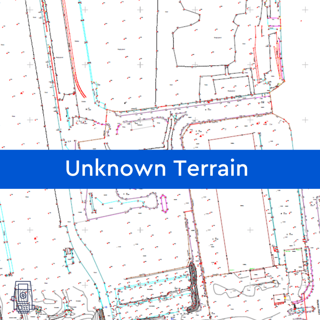
By assisting in the visualisation, measurement, and quantification of these sites, Powers can help reduce the unknown obstacles and their associated risks to your company before you make a full financial commitment, by providing you with a topographic survey or underground utility detection survey (utility mapping). Tell us what your needs are and our survey […]
GPS, GPR and what is GPRS?!
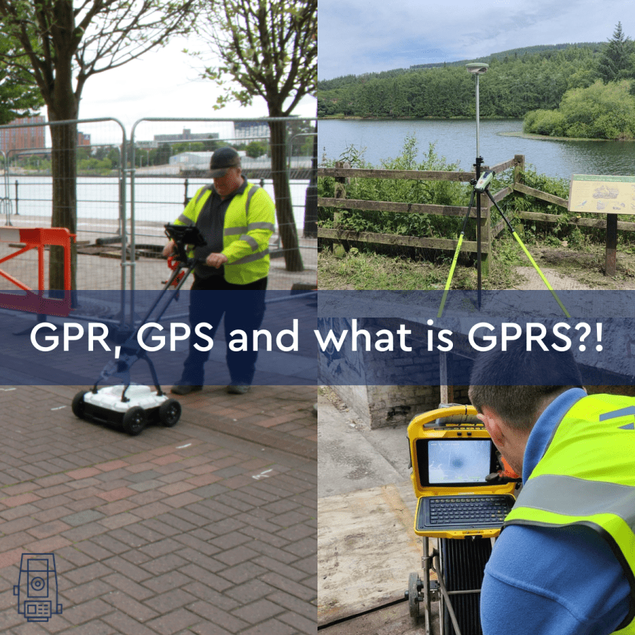
Let’s start with the basics: what is GPS? GPS stands for Global Positioning System, a precise global navigation and surveying system that relies on signals from several orbiting satellites. GPS is commonly used when navigating using your phone or Satnav. The surveying profession was one of the first commercial adaptions of GPS, after being used […]
Advantages of Underground Utility Mapping
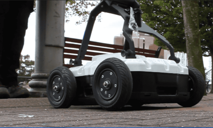
INSIGHTS Advantages of Underground Utility Mapping Any construction project can always benefit from having a topographical survey since it can show you the constraints of the land and you know what you’re working with. However, you must also be aware of what is underground. Powers underground utility detection survey At Powers, we offer PAS 128 […]
Drone surveying and mapping

INSIGHTS Drone surveying and mapping Drone technology isn’t exactly the first thing that comes to mind when thinking of land surveying. However, with the further expansion of drone use and integration in the land surveying industry, we are starting to observe an increase in drone surveys that are expressly utilised for extensive topographic surveys, typically […]
What is an as-built survey?

INSIGHTS What is an as-built survey? An as-built survey is usually produced at the end of a project. They’re used to illustrate where buildings, pavements, roads, and other features have been built. However, they can be carried out after different phases of construction have been completed, providing a point in time for owners to reference. […]
Why your project will benefit from external elevations
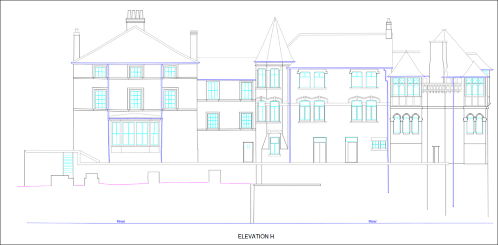
INSIGHTS At Powers, we provide clients with External Elevations and streetscapes as part of a Measured Building Surveys package. External Elevations are used for many reasons, such as: The drawings provide much needed accurate, measured external data for clients to confidently proceed with their plans. What’s an external elevation? External elevations are as-built drawings that […]
What is Urban Regeneration?
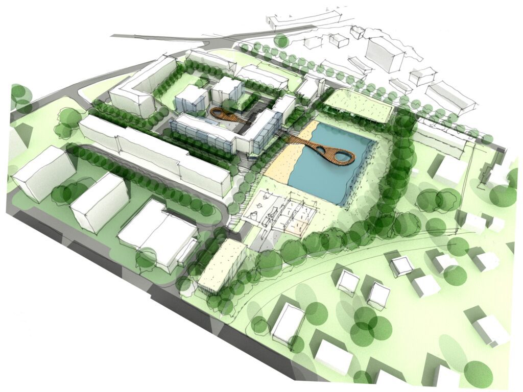
INSIGHTS What is Urban Regeneration? Urban regeneration projects have two main goals Cities such as Manchester and London have been praised for revitalising former industrial areas and attracting investment for commercial infrastructure. Urban regeneration is the transformation of a town or city. It’s an approach to city planning to repair social and economic problems, like […]
What is an internal elevation drawing? Why do I need one?
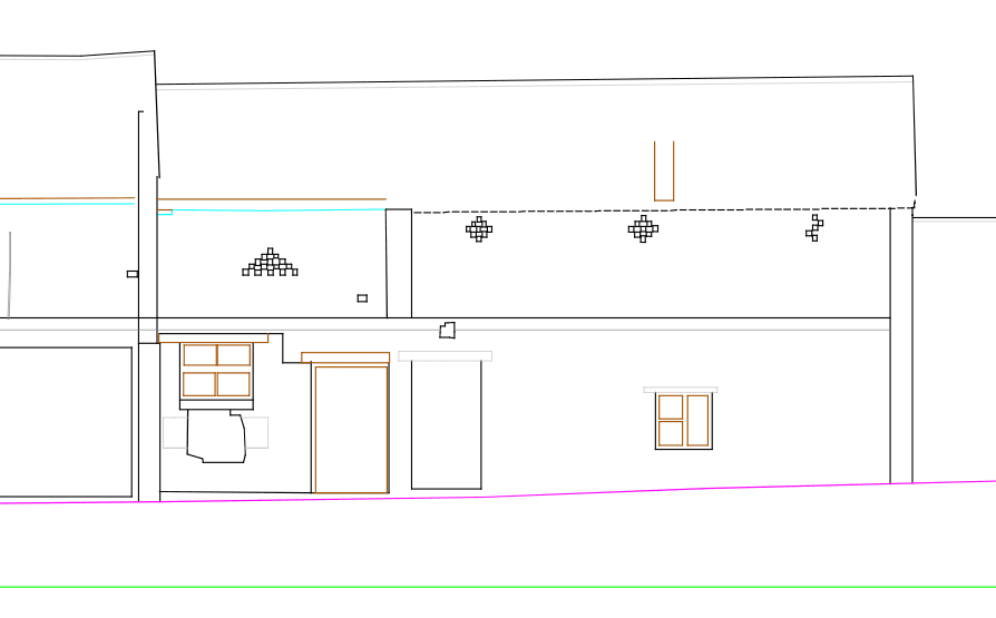
What is an internal elevation drawing? Elevation is a term used in the architectural and surveying world, to describe the orthographic (a 3D view done in 2D) projection of a room. The internal elevation shows the room’s details from a specific direction, requested by clients. These are drawn up in 2D images, which go from […]
What is a digital twin?

A bridge between the physical and virtual worlds, digital twins allow those working within the construction industry to see designs and concepts in real-time. It has transformed the way our clients work, by allowing them to communicate their designs digitally. A digital twin is a virtual, digital model, designed to accurately reflect a physical object. […]