
Viewpoints for architecture
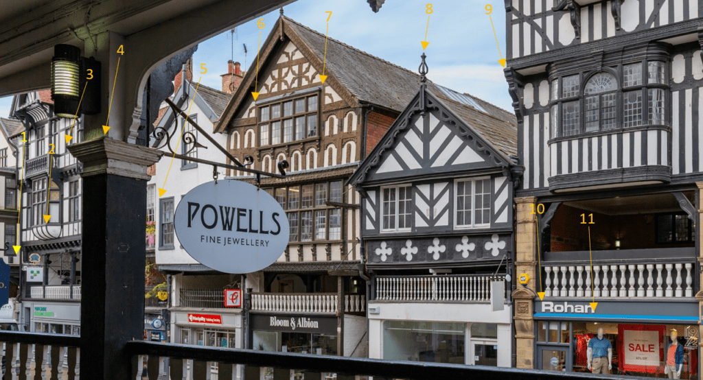
INSIGHTS What are viewpoints? Viewpoints are used by architects and planning authorities to improve their understanding of the impact a new building will have on the current landscape or skyline. By using accurate data, our clients can create realistic to-scale mock-up designs of a proposed building in its current urban setting. Viewpoints are a visual […]
Putting Surveyors Back at the Centre of Reality Capture

As reality capture technology becomes increasingly accessible, industry conversations have often focused on speed, automation and tools. While these advances bring clear benefits, they can sometimes overlook the professional expertise required to ensure accuracy, control and trust in geospatial data. A new joint article from The Survey Association and Leica Geosystems, Guardians of Precision: the […]
Changing with the times

Our city centres – and indeed our countryside – are changing all the time. With changing shopping patterns, city centres are having to rethink how they use their buildings, while agricultural estates are also being repurposed into something new. In this piece, we’re going to look at the role surveyors play in transforming these places into something useful again and bringing spaces back to life.
10 things architecture, construction, consultants and civil engineering companies need to know about Powers Geospatial Consultancy
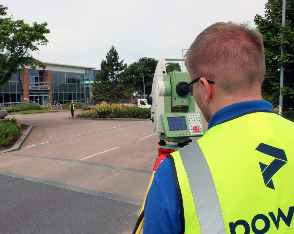
The Powers land survey team offers a wide range of geospatial services. These include topographical surveys, underground utility detection, measured building surveys, drone surveys, monitoring and setting out, through to Revit models, BIM & 3D modelling, volumetrics, Land Registry plans, as well as lease and boundary surveys.
Outlining potential – Feasibility Studies
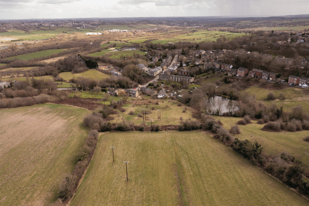
Feasibility studies are an important stage in the planning and construction process. They are a good way to gauge if a project is viable and if there’s an opportunity for the scope of works to be carried out as intended. They also provide insight into what this scope of work can be and what potential the site holds, an overview of what is possible and what’s not.
One version of the truth – Asset Registers
An asset register ensures that all estate management information is held in one place. Asset registers are inventories and collated data of owned assets. Their main users are local councils and authorities, and affiliated estate or land management companies. Essentially, the property asset register is a list of council-owned land and buildings. It also contains details of properties in which the council has an interest, such as academies and church schools, but doesn’t include housing stock properties.
NUAR – what is NUAR and what does it mean for underground utility detection?
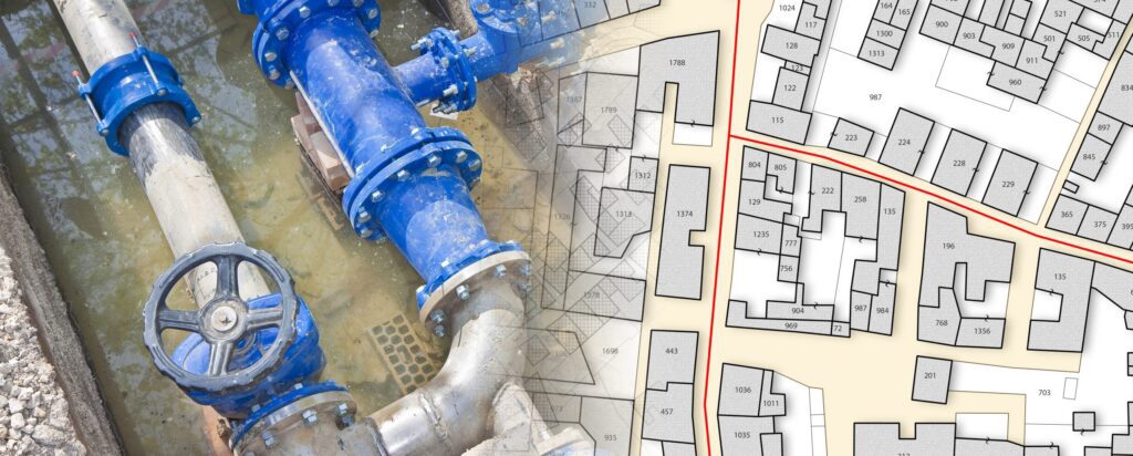
Underground assets The National Underground Asset Register (NUAR) is a government-led programme that is delivering a new digital map of our underground environment. A large proportion of our utilities are buried underground, as well as building and transport infrastructure, such as chambers or tunnels. This includes around four million kilometres of pipework, sewer runs, and […]
A day in the life of… Joe Laughton, senior surveyor at Powers

Perfect planning Joe explains: “My day starts at 08:00 when the surveyors come in to pick up their equipment, check RAMS have been created and review the project brief one final time before heading out for the day. At the beginning and end of every week, we have a planning meeting where the senior team […]
Deformation and movement monitoring: large-scale monitoring jobs
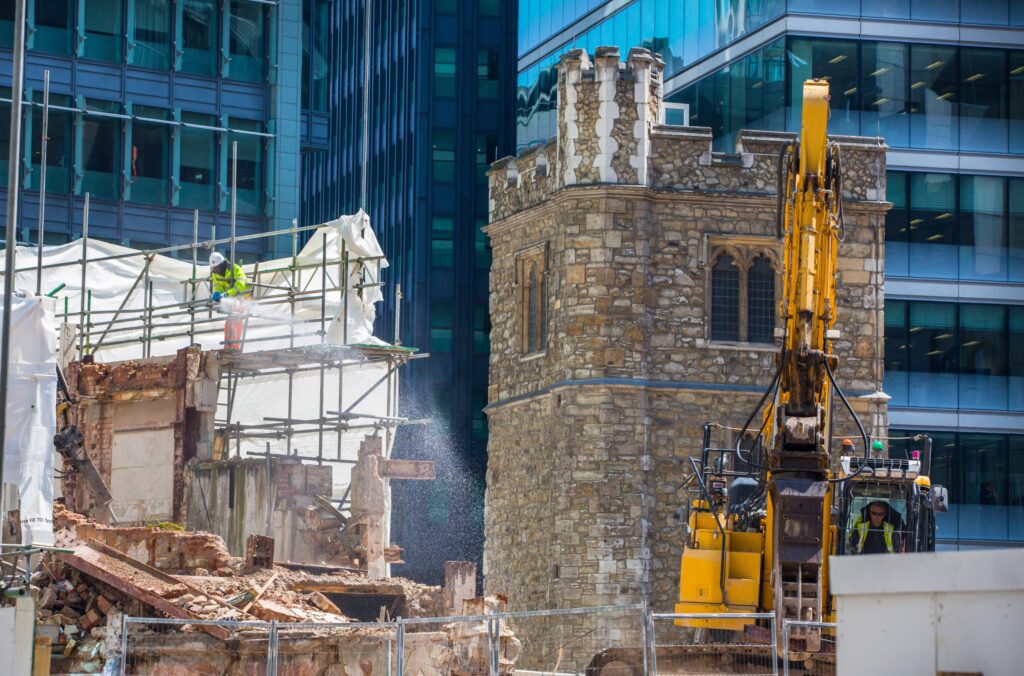
Impacts of construction A good example would be the impact of a new construction project on a surrounding area. A construction company could be building a new urban development between two buildings. The other two buildings might be much older, built of aged materials and in a state of deterioration. The project would need to […]
To infinity (and beyond): aerial drone surveys

The sky’s the limit Drones are robotic, flying remote controlled craft fitted with cameras and onboard data gathering equipment. They are also called Unmanned Aerial Vehicles or UAVs. Drone surveys can be useful for land surveying and cartography, urban planning and development, construction and planning, environmental studies and research, and volumetric measurement. They’re an excellent […]