
Using UAV surveys for Heritage Sites
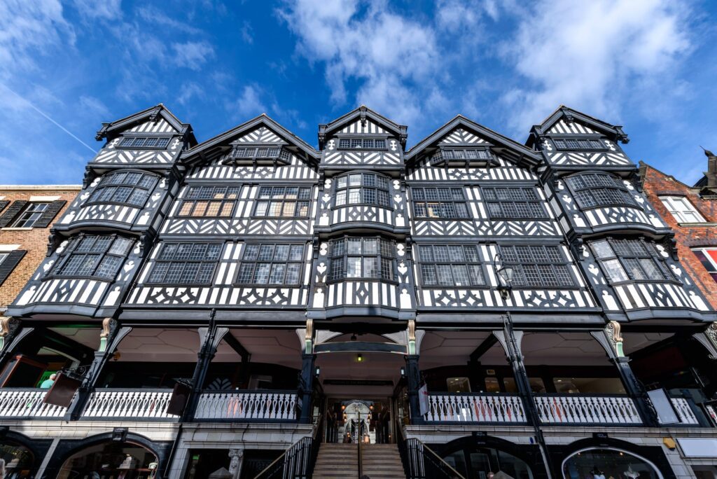
UAV surveys are ideal if you work in the heritage industry because they allow you to access large sites easily, without affecting the site and avoiding the need for scaffolding or MEWP (mobile elevation work platforms). Historic building surveys done with drones result in clear and precise aerial footage. They can provide a detailed measured […]
Why you need an up-to-date topographical survey
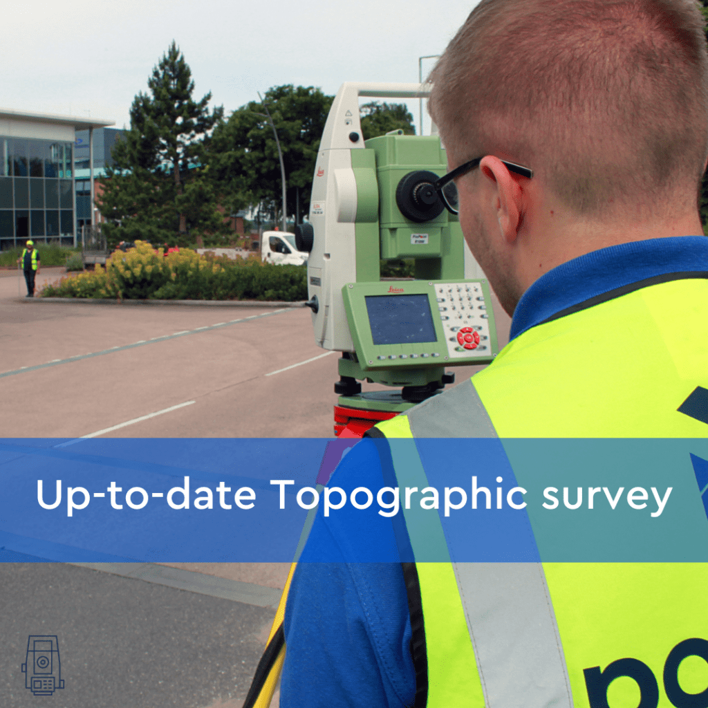
Site preparation for construction can change the terrain and features of the ground again and it is vital that all contractors have up-to-date topographical measurements before breaking ground in the construction of new buildings. An accurate topographic survey brings certainty to planned developments, by reducing the risk of errors and by giving an accurate plan […]
Unknown Terrain – getting a Topographic survey and underground utility detection survey
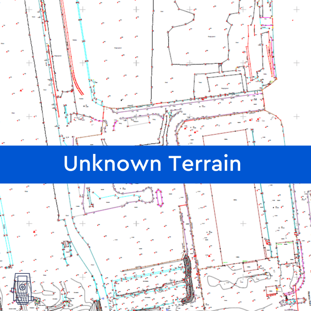
By assisting in the visualisation, measurement, and quantification of these sites, Powers can help reduce the unknown obstacles and their associated risks to your company before you make a full financial commitment, by providing you with a topographic survey or underground utility detection survey (utility mapping). Tell us what your needs are and our survey […]
GPS, GPR and what is GPRS?!
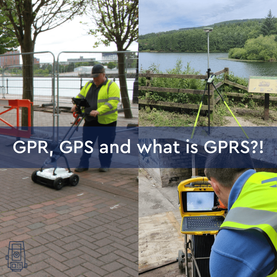
Let’s start with the basics: what is GPS? GPS stands for Global Positioning System, a precise global navigation and surveying system that relies on signals from several orbiting satellites. GPS is commonly used when navigating using your phone or Satnav. The surveying profession was one of the first commercial adaptions of GPS, after being used […]
Drone surveying and mapping

INSIGHTS Drone surveying and mapping Drone technology isn’t exactly the first thing that comes to mind when thinking of land surveying. However, with the further expansion of drone use and integration in the land surveying industry, we are starting to observe an increase in drone surveys that are expressly utilised for extensive topographic surveys, typically […]
Iconic project: Maggie’s Centre, West London
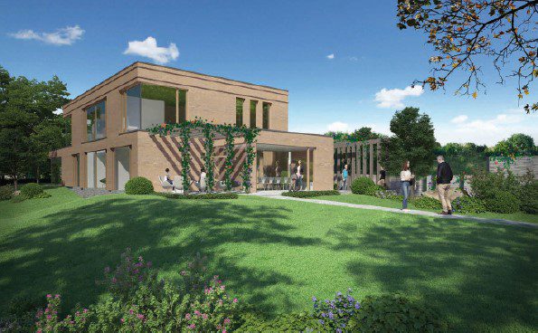
Architect: Richard Rogers – Rogers Stirk Harbour + Partners Year built: 2008 What is Maggie’s? Maggie’s is a charity, offering help, advice, and a safe space for those suffering from cancer with the centres around the UK, and globally. Maggie’s does exceptional work. The first Maggie’s Centre opened in Edinburgh in 1996. Founder Maggie Keswick […]
AR – is it the new reality for construction?

AR (Augmented Reality) is no longer something just seen in sci-fi movies from the 80’s, but has become an actual reality in everyday lives. What is AR? AR is an interactive experience for the user. They can see objects around them in their real-life environment. It traditionally uses visual and auditory cues to enhance the […]
Topographical surveys – making sense of your site
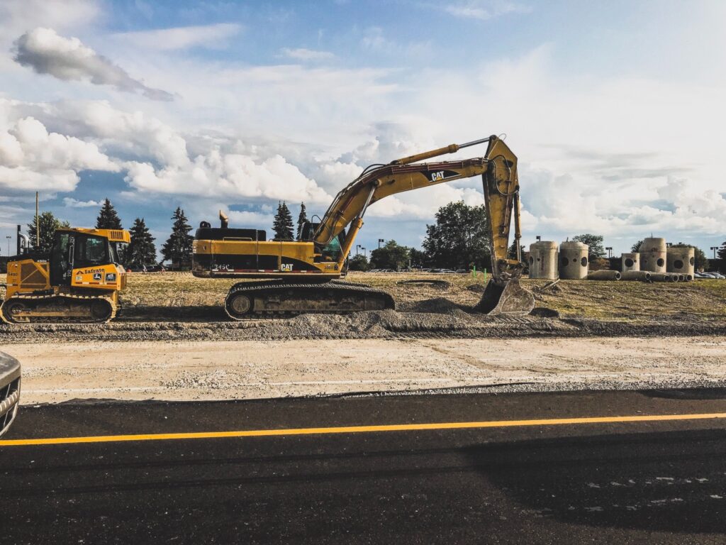
Topos or OS mapping? The purpose of topographical surveys, or topos, as they are often referred to, is to help create a visual representation of a building or plot of land intended for development. Topos provide an in-depth understanding of the building or land to be developed. Understanding what the topography looks like establishes what […]
From the top down: why are ‘as built’ surveys so important?

What is an ‘as built’ survey? ‘As built’ surveys serve as a record of any changes or variations made throughout a construction project. They show the location of underground pipes or utilities such as gas, phone and power lines, sewers, storm drains and their condition as well has building positions, roads, pavements and curb heights. […]