
A level playing field – specifications and certifications

Specification vs certification Specification means we’ll work to a client’s spec, which can be tailored accordingly, simplified or spec’d up. A specification working to a RICS Code of Measuring Practice (6th Edition) spec, for example, means that we will follow a certain specification for carrying out different types of surveys. Certification means we are audited […]
Legends and monsters: understanding the importance of maps
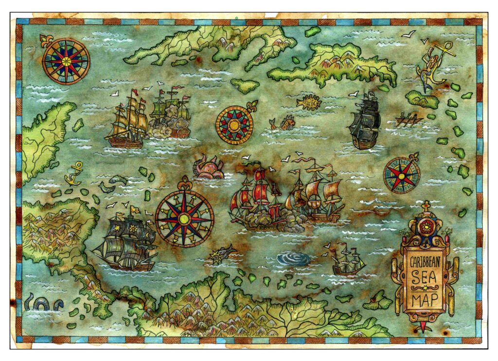
Charting through history: revolutionising the process and accuracy of mapmaking Mapmaking, or cartography, has been around ever since humans walked the Earth – and needed to record features and routes through local terrain. There’s no definitive answer as to who invented mapmaking, as prehistoric examples have been present in many cultures, from the earliest examples […]
On top of it: discovering the benefits of topographical surveys

Why do you need a topographical survey? A topographical survey, often referred to as a topo, can be used for many reasons. It enables our clients to understand the boundaries of their land, the different ground levels across the site and the constraints and opportunities within it, as well as the impact of neighbouring structures. […]
Working together: the benefits of survey companies gaining professional membership certification

So, how can we be sure that we are doing all we can to maintain the high standards we set ourselves? Our membership of various professional organisations and our professional accreditations are never just for show. It means that our employees and our clients can rest assured that we keep constant vigilance when it comes […]
The future of surveying

According to Caitlin Ballard, international policy adviser at the Geospatial Commission: “Location is a thread that allows us to connect different datasets together to make them more useful. Geospatial technology is going to be increasingly embedded in our digital lives. Some commentators have recently coined the phrase ‘geoverse’ to articulate the critical role location data […]
Heading for the highway: the role of geospatial surveying in highways

Above and beyond Broadly, both the main disciplines of surveying are involved with the planning and setting out of highways across the UK. Above ground, our surveyors will carry out the setting out of the route, its levels and contours, while above and below ground, topographical surveys and underground utility surveys can provide vital information […]
Everything starts with a measurement: the role of geospatial surveys in the built environment

Unless this is your profession or area of interest, there is a good chance you won’t have considered this. However, without well-educated and experienced surveyors, the consequences of inaccurate or no land surveys can be significant. Inaccurate measurements can lead to boundary disputes, costly errors, such as buildings being built in the wrong position or […]
Powers carries out topographical survey on site of new commemorative woodland
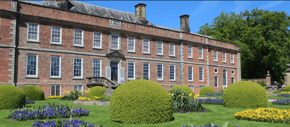
Project: Commemorative Woodland Site, Erddig Location: Erddig Hall, Wrexham Client: National Trust Principal contractor: Natural Resources Wales Powers involvement: Topographical survey of fields for redevelopment into a woodland site Project completion: June 2022 The project Owned by The National Trust, Erddig Hall has a long and vibrant history. It is a well-visited tourist destination, which […]
Looking at the Big Picture
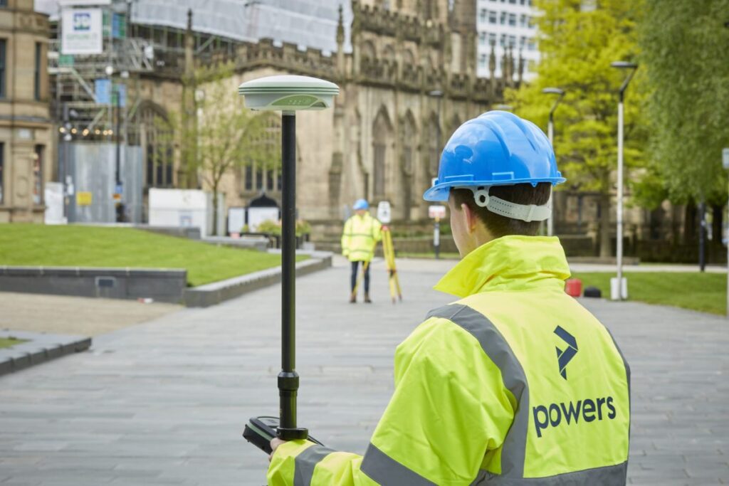
We can carry out these surveys for a number of reasons, from an evaluation of the plot’s worth, for a feasibility study (is a site worth developing or will it get planning), to a full-scale design or structural development before planning or construction begins on a project. These surveys can detail all kinds of […]
Topographical surveys: why are they so important?
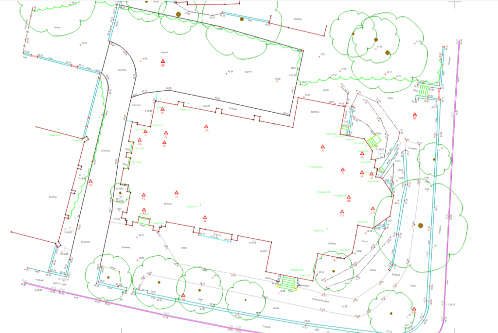
The first step to any construction project is a topographical survey outlining the ground levels, features, and critical measurements of a piece of land for development. It may also include an underground services detection survey so that everyone is aware of any utilities or other obstructions that lie within your site boundary. Although this would […]