
Viewpoints for architecture
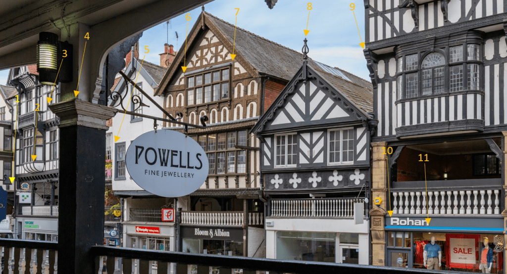
INSIGHTS What are viewpoints? Viewpoints are used by architects and planning authorities to improve their understanding of the impact a new building will have on the current landscape or skyline. By using accurate data, our clients can create realistic to-scale mock-up designs of a proposed building in its current urban setting. Viewpoints are a visual […]
Putting Surveyors Back at the Centre of Reality Capture

As reality capture technology becomes increasingly accessible, industry conversations have often focused on speed, automation and tools. While these advances bring clear benefits, they can sometimes overlook the professional expertise required to ensure accuracy, control and trust in geospatial data. A new joint article from The Survey Association and Leica Geosystems, Guardians of Precision: the […]
10 things architecture, construction, consultants and civil engineering companies need to know about Powers Geospatial Consultancy
The Powers land survey team offers a wide range of geospatial services. These include topographical surveys, underground utility detection, measured building surveys, drone surveys, monitoring and setting out, through to Revit models, BIM & 3D modelling, volumetrics, Land Registry plans, as well as lease and boundary surveys.
Depth of knowledge – the importance of data security when mapping underground utilities

Let’s continue our focus on underground utility detection surveys and their relationship with NUAR – the National Underground Asset Register. This is a UK government initiative that aims to deliver a digital map of the UK that covers all underground assets and will store the data on one digital platform in a secure and interactive manner by the end of 2025.
Outlining potential – Feasibility Studies
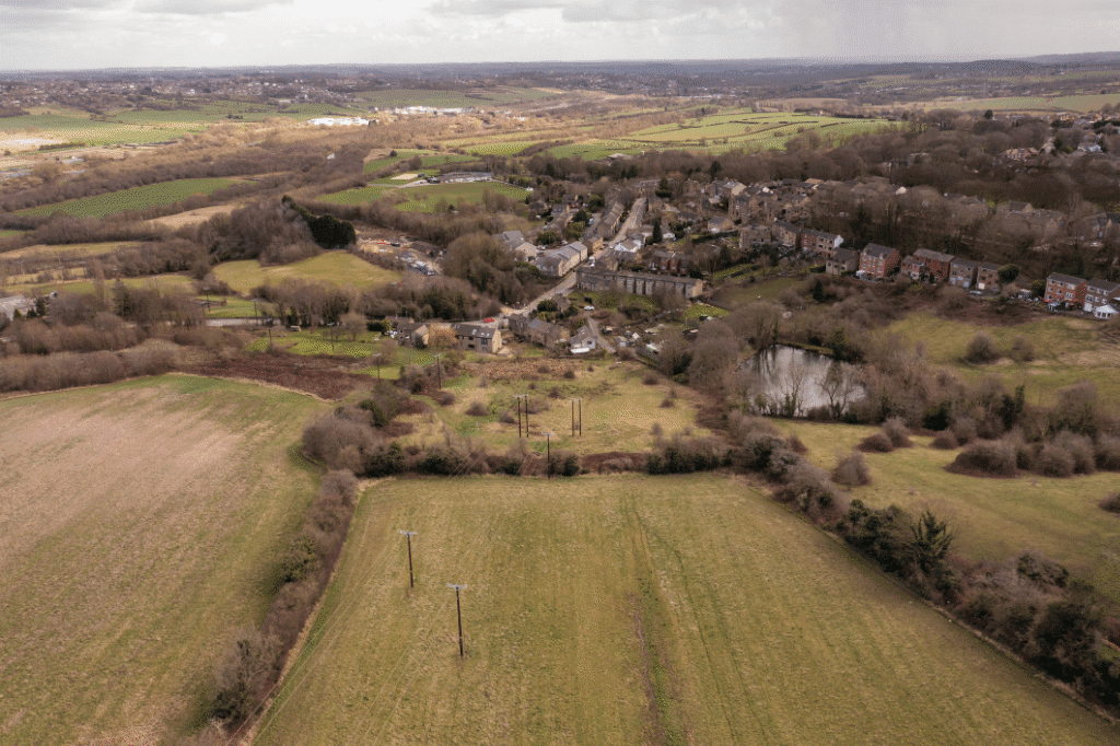
Feasibility studies are an important stage in the planning and construction process. They are a good way to gauge if a project is viable and if there’s an opportunity for the scope of works to be carried out as intended. They also provide insight into what this scope of work can be and what potential the site holds, an overview of what is possible and what’s not.
NUAR – what is NUAR and what does it mean for underground utility detection?
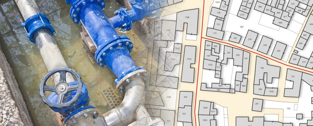
Underground assets The National Underground Asset Register (NUAR) is a government-led programme that is delivering a new digital map of our underground environment. A large proportion of our utilities are buried underground, as well as building and transport infrastructure, such as chambers or tunnels. This includes around four million kilometres of pipework, sewer runs, and […]
To infinity (and beyond): aerial drone surveys
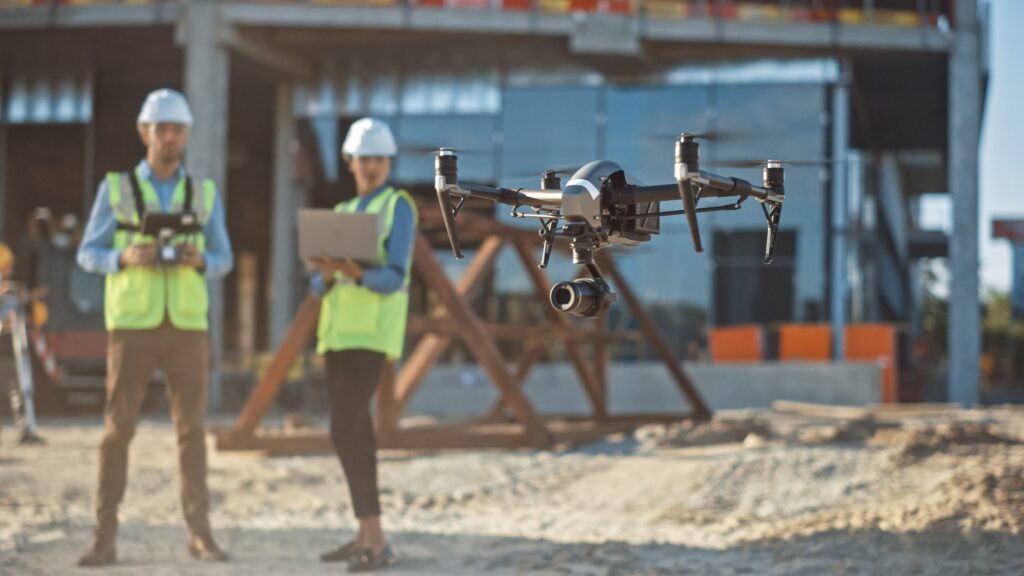
The sky’s the limit Drones are robotic, flying remote controlled craft fitted with cameras and onboard data gathering equipment. They are also called Unmanned Aerial Vehicles or UAVs. Drone surveys can be useful for land surveying and cartography, urban planning and development, construction and planning, environmental studies and research, and volumetric measurement. They’re an excellent […]
When do you need a drainage survey?
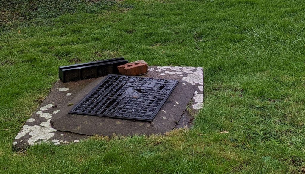
A drainage survey is a way of seeing the damage inside the pipe itself and ideally the pipe should be free of debris. It would be useful carry out power jetting first, before any survey is undertaken, so the pipe is clean, and access is readily available. Though drain jetting should be carried out regularly […]
Survey specification – right from the start
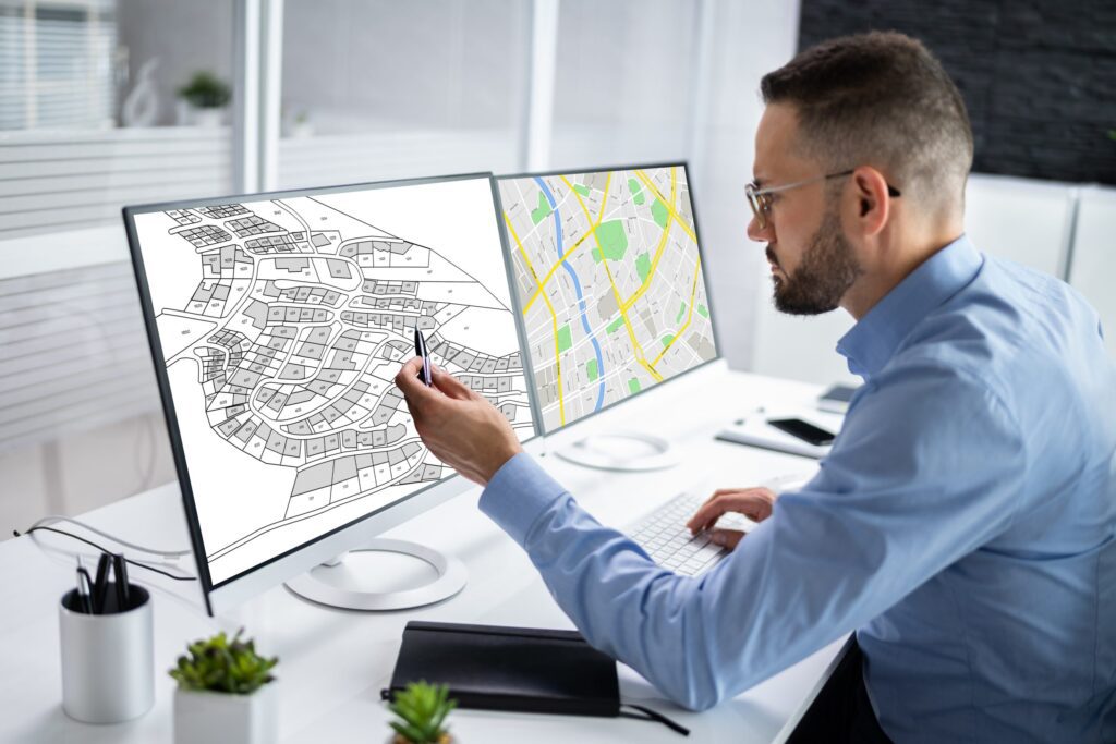
Levels of detail At Powers, we have over 50 years of experience of working on all kinds of projects. Not just construction projects, but also engineering, scientific and environmental. When you are in the early stages of a project, our skilled team at Powers can work with you to ensure that we are surveying exactly […]
Why is it a good idea to get my measured building survey or underground services detection done at the same time as the topographic survey?
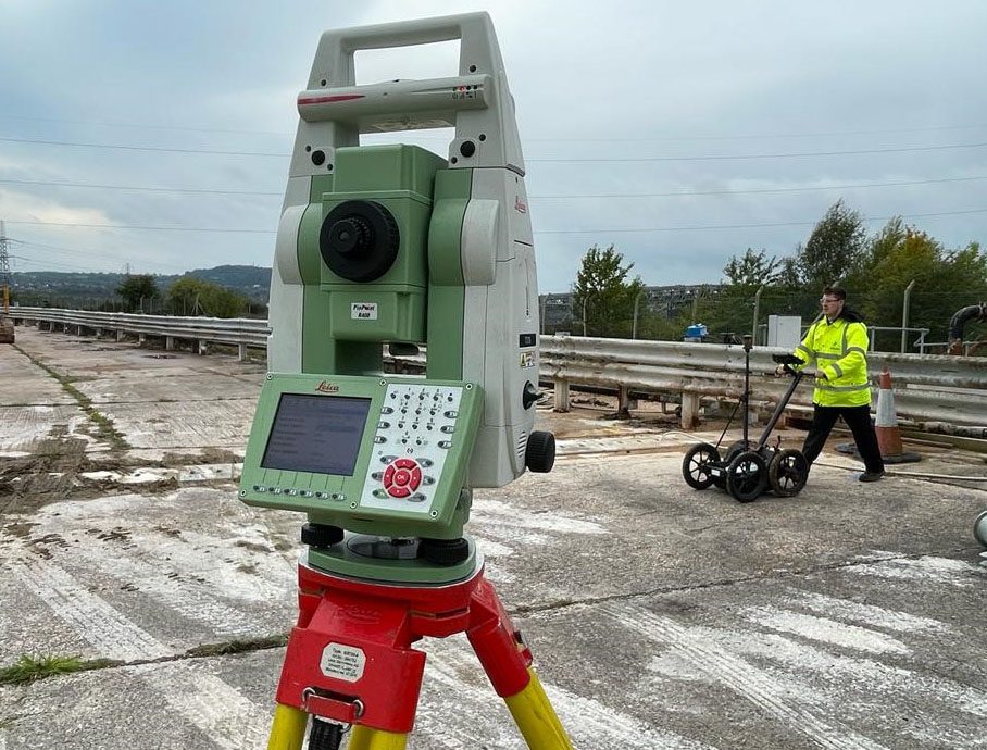
The level of detail a topo provides can help with the understanding – and create the visual representation – of the site. It will also establish what enabling work needs to be carried out before the start of construction, such as the scale of the earthworks required. However, despite this high level of detail, it […]