
What is a complex topographical survey?
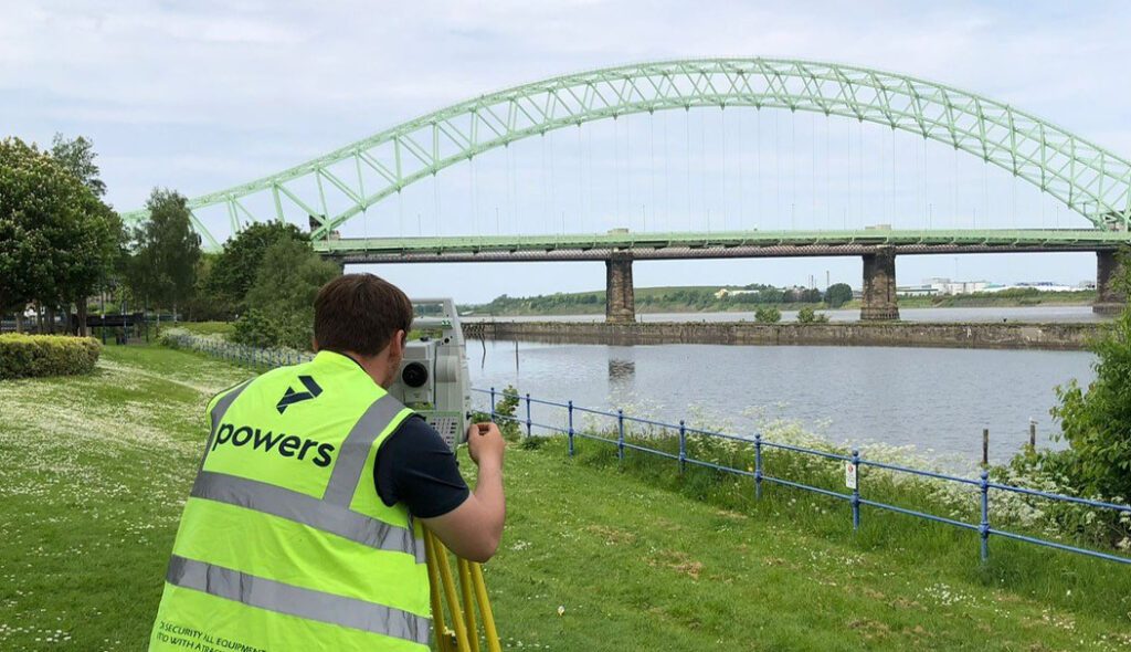
Backbone of the project Topographical surveys are the backbone of reliable construction project planning and design. Measured data gathered during a geospatial survey can be used in a number of ways and drawings are an important part of the design and construction process. Surveyors should be engaged to undertake ‘topo’ surveys, as they are informally […]
Measured building surveys – back to the drawing board
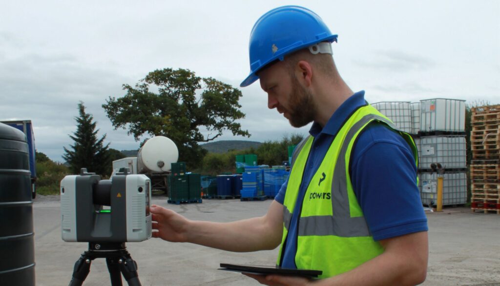
Time and place Measured building surveys are carried out using 3D laser scanners. The geospatial data gathered from the resulting point clouds is used to create digital 3D models or digital twins, elevations, floor plans and sections. This provides a snapshot of time and place in a structure’s lifecycle. They are an essential part of […]
Powers achieves PAS128 certification
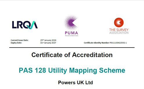
What is PUMA? PUMA – or PAS128 Utility Mapping Accreditation – provides a benchmark and creates a national standard for best practice for underground utility detection surveys. This will give accredited surveyors a competitive edge and will demonstrate their company’s continuous professional improvement. The Survey Association (TSA) has created the trailblazing PAS128 certification scheme specifically […]
Apprenticeships: Surveying your future direction
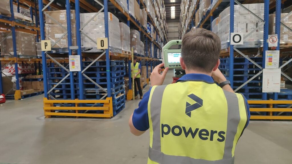
Skills for life One avenue into the profession is apprenticeships and National Apprenticeship Week (NAW) is a great vehicle for highlighting a multitude of careers to prospective candidates. This year’s event runs from 5-11 February and is the 17th annual celebration of apprenticeships. The week brings together everyone who is passionate about apprenticeships and celebrates […]
What are UU surveys and why are they important?
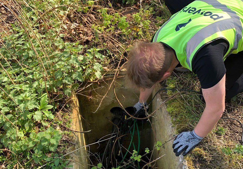
Into the unknown While surface topographical surveys will map what can be seen above ground, ground penetrating radar (GPR) is used to identify and pinpoint what is hidden from sight and buried underground. You’ll usually be looking at developing a site if you carry out an underground survey, but they can also be used for […]
A level playing field – specifications and certifications

Specification vs certification Specification means we’ll work to a client’s spec, which can be tailored accordingly, simplified or spec’d up. A specification working to a RICS Code of Measuring Practice (6th Edition) spec, for example, means that we will follow a certain specification for carrying out different types of surveys. Certification means we are audited […]
Visualising future cityscapes – accurate measured viewpoints

Placed in context Urban development is always on the agenda and it’s important to be able to depict how the final results will appear when in situ, in respect to other buildings. We are very involved in this part of the urban development process. As part of our land and buildings surveying services, we offer […]
Working to grid: What happens when contractors use different control grids?
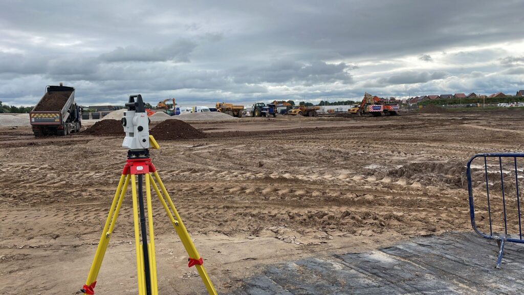
The control grid – a single version of truth This single version of truth is generally a control grid. This is a network of horizontal and vertical lines superimposed over a map or building plan and used for locating points within a construction site. The control points are reference points with known coordinates and are […]
Using space wisely – surveying, car parks and EV innovation
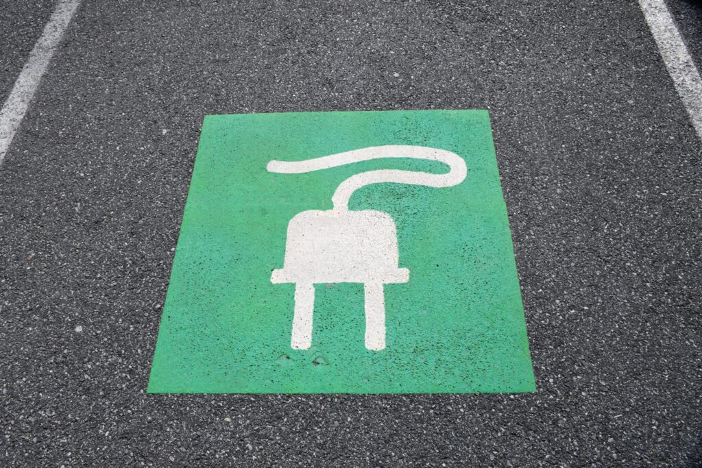
Points of contact One area, for instance, is the need for consideration being given to the ability to recharge vehicles, to facilitate long journeys and lengthy battery timespans. This has led to a great deal of investment in infrastructure projects that have allowed far greater use of these vehicles on a national scale. EVs are […]
Exploring new dimensions – 3D ground modelling and volumetrics
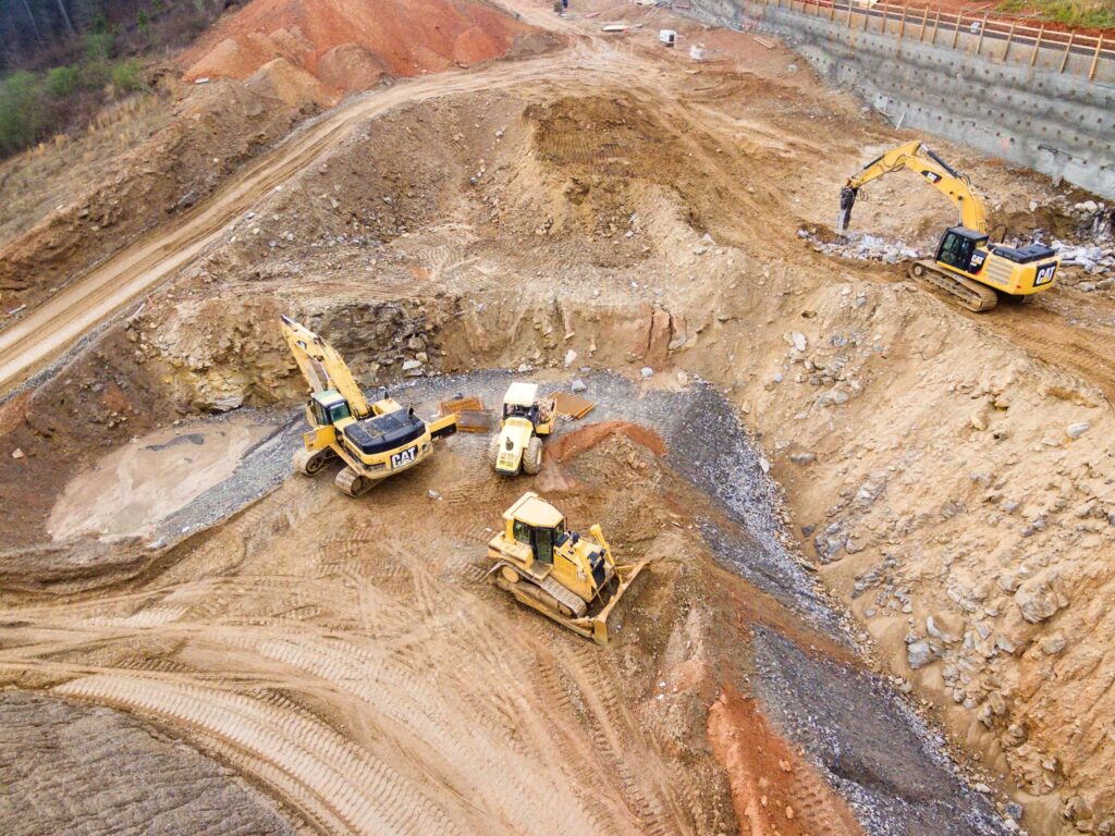
Modelling landscapes Ground modelling turns a topographical survey – with plotted levels and heights – into a 3D contoured or triangulated map. This provides a visual representation of the shape of the site measured. Before any work begins on site, an initial level survey of the area should be completed, in order to obtain accurate […]