
Viewpoints for architecture
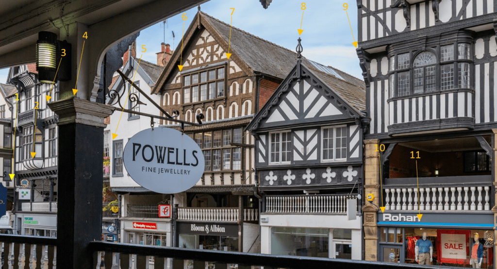
INSIGHTS What are viewpoints? Viewpoints are used by architects and planning authorities to improve their understanding of the impact a new building will have on the current landscape or skyline. By using accurate data, our clients can create realistic to-scale mock-up designs of a proposed building in its current urban setting. Viewpoints are a visual […]
Outlining potential – Feasibility Studies
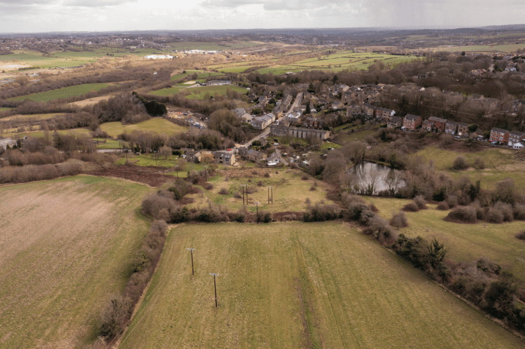
Feasibility studies are an important stage in the planning and construction process. They are a good way to gauge if a project is viable and if there’s an opportunity for the scope of works to be carried out as intended. They also provide insight into what this scope of work can be and what potential the site holds, an overview of what is possible and what’s not.
Helping to build community spirit
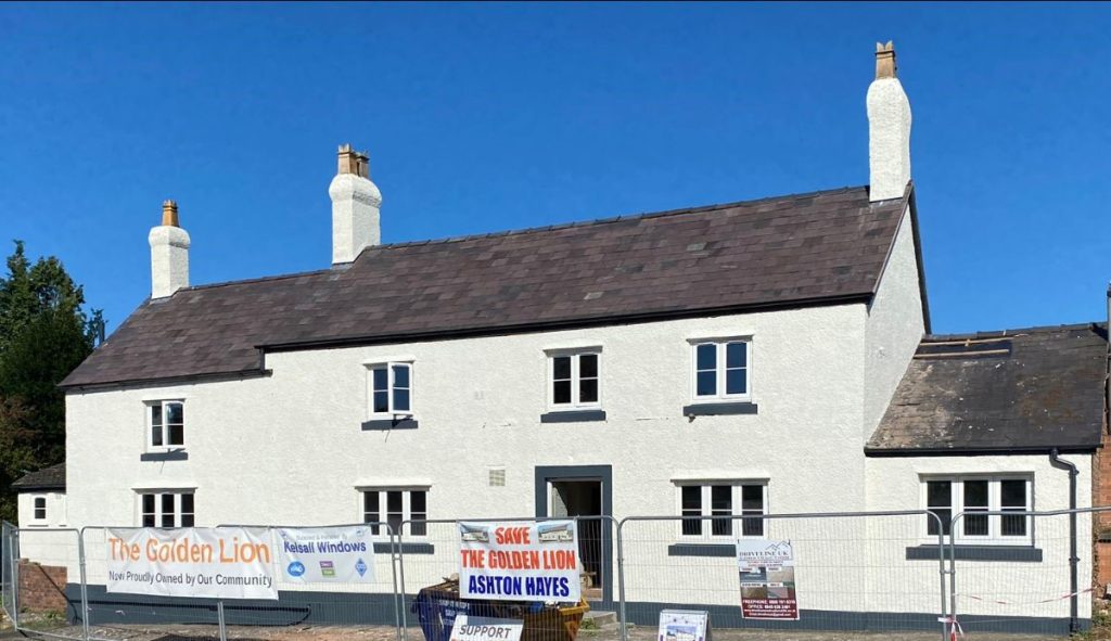
Securing community assets As well as drinks and food, pubs serve so much more to a community. The fact that the Golden Lion has been closed for more than 10 years is such a shame for a village like Ashton Hayes. Initially, the empty building was taken on by someone that simply wanted to get […]
A working challenge: Surveying industrial landscapes

Industrial areas can include a multitude of different types of structure and building – from warehouses and storage facilities, to manufacturing plants or buildings housing industrial processes, such as oil refining or brewing for instance. These sites offer some real challenges that are unique for surveyors and have to be approached in a different way […]
As-built surveys – a useful aid to facilities management

A comprehensive overview Facility managers – contractors who maintain and oversee large, often multiple occupancy or use buildings, such as apartment blocks, schools, chemical or manufacturing plants or offices – can use the data provided in as-built surveys to ascertain areas of concern or to aid renovation, inspection, audits or planned changes. Facilities managers rely […]
As-built surveys – a timeless, permanent record

Also known as ‘As Constructed’ surveys, this type of survey is usually produced at the end of a construction phase or when construction is complete. They are a definitive record of where buildings and other permanent features such as roads, pavements, walls and other aspects have been built. However, they can also be carried out […]
CCTV drainage surveys – exploring and assessing beneath the surface
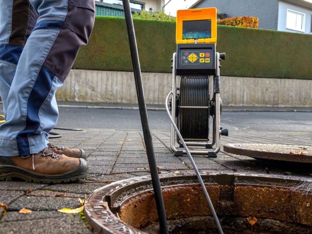
CCTV drainage surveys: an underground overview Usually, a CCTV drainage survey is done by sending a portable, navigable camera along the drain network. When CCTV surveys are requested, there’s usually an inkling of a problem. In most cases, the drain will be blocked or there will be some reason why the camera can’t get down […]
Why is it a good idea to get my measured building survey or underground services detection done at the same time as the topographic survey?
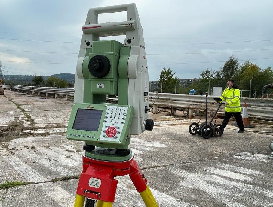
The level of detail a topo provides can help with the understanding – and create the visual representation – of the site. It will also establish what enabling work needs to be carried out before the start of construction, such as the scale of the earthworks required. However, despite this high level of detail, it […]
What is a complex topographical survey?
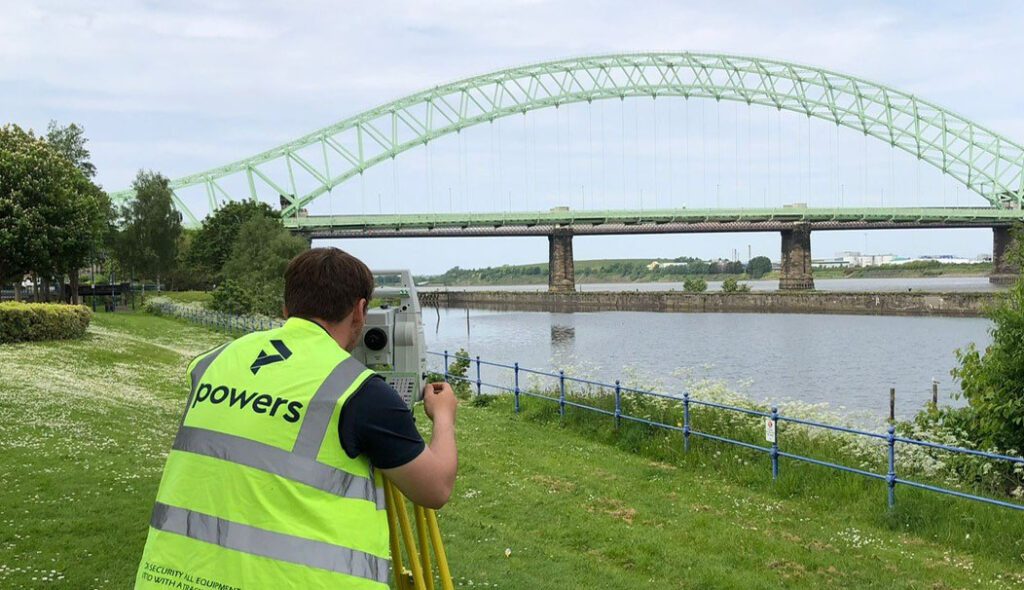
Backbone of the project Topographical surveys are the backbone of reliable construction project planning and design. Measured data gathered during a geospatial survey can be used in a number of ways and drawings are an important part of the design and construction process. Surveyors should be engaged to undertake ‘topo’ surveys, as they are informally […]
Powers’ 12 posts of Christmas – a look back at 2023

January At Powers, we are committed to looking at ways in which we can reduce our carbon emissions in the ongoing journey towards net zero. To this end, we reviewed our carbon emissions in January and updated our environmental targets for 2023 https://tinyurl.com/mvpznb3f. We were also pleased to see the launch of the Save Construction […]